France
Description

France, country of contrasts, home to the inventors of the Topoguide, is a great walking destination all year round. An intricate network of long distance footpaths, the so-called Grands Randonnées, reaches out to the farthest corners of the country. At least 80 long distance trails and their countless variants are meticulously documented and waymarked. Mastering a bit of French will help you find your way, and a bottle of wine at that.
It may be difficult to find information or topo guides for many trails. The exact route - not only the name "GR" - of any hiking trail in France is copyrighted by the FFRP and cannot be published by others without their consent. The maps of IGN usually show all regional PR's and national GR's.
The French themselves are mad about walking, often in groups of about 20, recognisable by their non-stop rather loud conversations lasting from dawn till dusk and snacking on hard boiled eggs en route. So join the crowd and turn bon vivant. Walk the Provence in spring, pass through the wine regions coloured all red in late autumn. Enjoy the Atlantic coast and its birds in May, and the shimmering sun on the glaciers in summer. Explore the Loire in autumn, and the dark forests of the Morvan in winter. Or take a walk all the way from the Atlantic to the Mediterranean right across the Pyrenees along the GR10. Another popular trail is the GR5, from Luxembourg to Nice through the Vosges, the Elzas and the Alps. For those fearless and bursting with energy, the GR20 is a fine challenge. This trail following the highest ridges of the island of Corsica is for the surefooted only.
Another popular walk of course is the TMB, the Tour du Mont Blanc: eight days with views on the highest mountain of Europe, weather permitting. Drawback: crazy busy. Less known, but just as fine, is the Tour du Queyras (GR58), also in the Alps. Other best hikes in the Alps are the Tour de la Vanoise (GR55) or the Tour de l'Oisans (GR54). You can walk the Vallée des Merveilles (GR52). And a bit on the outside of the Alps is the Vercors (GR91 - GR95) and Mt Lubéron (GR97). There you are, now you know what the French themselves like most.
Along most GR's you will find huts or Gites d'Etappe at regular intervals. These are mostly just simple shelters, so bring food to prepare your own meals. Outside the main summer season, with most French back in Paris, the Gites are often closed. In such cases, bring your own tent. Most GR's can be tough but not dangerous, except the GR20.
Carte


Sentiers
- Camino de BaztanGPX
- Chemin du Roi Dagobert
- E10GPX
- E12GPX
- E2GPX
- E3GPX
- E4GPX
- E5GPX
- E7GPX
- E9GPX
- GR1 - Tour de ParisGPX
- GR10 - Traversée des PyrénéesGPX
- GR101GPX
- GR107 - El Camí dels Bons HomesGPX
- GR11 - Grand Tour de ParisGPX
- GR111 - Sentier de l’EssonneGPX
- GR12 - Amsterdam - ParisGPX
- GR120 - Parc Régional BoulonnaisGPX
- GR121 - Wavre - BoulogneGPX
- GR122 - ScheldelandGPX
- GR123 - À travers la PicardieGPX
- GR124GPX
- GR125GPX
- GR126 (France)GPX
- GR127GPX
- GR128 - VlaanderenrouteGPX
- GR13 - Traversée du MorvanGPX
- GR130 - IJzerGPX
- GR131GPX
- GR137
- GR14 - Sentier de l'ArdenneGPX
- GR14a - Vallée de la MarneGPX
- GR16 - Sentier de la SemoisGPX
- GR2 - Vallée de la SeineGPX
- GR20 - La montagne CorseGPX
- GR21 - Côtes NormandesGPX
- GR211GPX
- GR212GPX
- GR22 - Sentier du Mont Saint-MichelGPX
- GR221GPX
- GR222GPX
- GR223GPX
- GR224GPX
- GR23GPX
- GR25
- GR26GPX
- GR3 - Vallée de la LoireGPX
- GR30 - Volcans et lacs d'AuvergneGPX
- GR300 - Voie du BourbonnaisGPX
- GR31GPX
- GR32GPX
- GR34 - Sentier des DoaniersGPX
- GR340 - Tour de Belle-Île-en-MerGPX
- GR341GPX
- GR347GPX
- GR34AGPX
- GR35GPX
- GR36 - Traversée du PérigordGPX
- GR360 - Tour de la SaintongeGPX
- GR364GPX
- GR37 - Sentier de l'ArgoatGPX
- GR38GPX
- GR380 - Monts d'ArréeGPX
- GR39GPX
- GR4GPX
- GR40 - Tour du VelayGPX
- GR400 - Volcans du CantalGPX
- GR41GPX
- GR412 - Gorges de l’AllierGPX
- GR42GPX
- GR420GPX
- GR427GPX
- GR43GPX
- GR430 - Chemin de Saint Régis
- GR44GPX
- GR440 - Grand tour du Limousin
- GR440B - Petit tour du Limousin
- GR441 - Chaîne des PuysGPX
- GR444
- GR46GPX
- GR461
- GR463GPX
- GR48GPX
- GR49GPX
- GR5GPX
- GR50 - Tour des ÉcrinsGPX
- GR51 - Balcons de la MéditerranéeGPX
- GR510 - Sentier des huit valléesGPX
- GR52 - Vallée des MerveillesGPX
- GR52A - Panoramique du MercantourGPX
- GR53 - Crête des VosgesGPX
- GR533GPX
- GR534GPX
- GR54 - Tour de l'Oisans et des ÉcrinsGPX
- GR541
- GR549
- GR55 - Tour de la VanoiseGPX
- GR559GPX
- GR56 - Tour de l'UbayeGPX
- GR570 - Pays des Trois FrontièresGPX
- GR58 - Tour du QueyrasGPX
- GR59 - Des Vosges au JuraGPX
- GR590
- GR595
- GR6GPX
- GR60 - Monts d'AubracGPX
- GR61GPX
- GR62GPX
- GR63GPX
- GR636
- GR64GPX
- GR646GPX
- GR646 - Traversée du PérigordGPX
- GR65 - Via PodiensisGPX
- GR651GPX
- GR652GPX
- GR653 - Via TolosanaGPX
- GR653A - Via AureliaGPX
- GR653D - Voie d’ArlesGPX
- GR654 - Via LemovicensisGPX
- GR655 - Via TuronensisGPX
- GR66 - Tour du Mont AigoualGPX
- GR67 - Tour du Pays CévenolGPX
- GR68 - Tour du Mont Lozère
- GR7GPX
- GR70 - Chemin de StevensonGPX
- GR700 - Chemin de RégordaneGPX
- GR703 - Sentier de Jeanne d'Arc
- GR71 - Traversée du Haute LanguedocGPX
- GR71CD - Tour du Larzac templier et hospitalier
- GR72GPX
- GR73
- GR74
- GR76
- GR77GPX
- GR78 - Sentier de PiémontGPX
- GR8GPX
- GR83 - Camí del Nord o del CanigóGPX
- GR86GPX
- GR9GPX
- GR90GPX
- GR91 - Traversée du VercorsGPX
- GR92GPX
- GR93GPX
- GR94 - Tour des Hautes-AlpesGPX
- GR946
- GR95GPX
- GR96 - Traversée des BaugesGPX
- GR97 - Tour du LuberonGPX
- GR98 - Les CalanquesGPX
- GR99 - Gorges du VerdonGPX
- GR99AGPX
- GTJ - Grande Traversée du JuraGPX
- GTPA - Grande Traversée des PréalpesGPX
- GTV - Grande Traversée du VercorsGPX
- Haute Route Chamonix-ZermattGPX
- HeuvellandGPX
- HRP - Haute Randonnée PyrénéenneGPX
- Jakobsweg Breisach - Cluny
- Jakobsweg im Elsass
- Jakobsweg Waldshut-Vézelay
- Mare a Mare CentreGPX
- Mare a Mare NordGPX
- Mare a Mare SudGPX
- Mare e Monti SudGPX
- Rhine-Meuse Trail
- Route du Temps
- Santiago de Compostela Pilgrims WayGPX
- SeealpentourGPX
- Sentier CathareGPX
- Templar Trail
- TMB - Tour du Mont BlancGPX
- Tour des monts d'AubracGPX
- Tour du BeaufortainGPX
- Tour du LarzacGPX
- Tour du MorvanGPX
- Tour du Parc du Pilat
- Tra Mare e MontiGPX
- Via AlpinaGPX
- Via ArverniaGPX
- Via BrugensisGPX
- Via FrancigenaGPX
- Via Gallia BelgicaGPX
- Via GebennensisGPX
- Via Thiérache
- Voie Catalane - Roussillon
- Voie de Lourdes
- Voie des PlantagenêtsGPX
- Voie du PiémontGPX
- Voie LittoraleGPX
Régions
- Alps
- Alsace
- Ardèche
- Auvergne
- Écrins
- Bauges
- Bourgogne
- Bretagne
- Cévennes
- Côte d'Azur
- Chablais
- Champagne-Ardenne
- Charente-Maritime
- Chartreuse
- Corsica
- Dauphiné
- Dordogne
- Drôme
- Giffre
- Gorges du Tarn
- Haute Savoie
- Ile-de-France
- Jura
- Lac Léman
- Languedoc
- Les Landes
- Limousin
- Loire
- Luberon
- Massif Central
- Mercantour
- Mont Blanc
- Morvan
- Normandie
- Paris
- Pays Catalan
- Picardie
- Provence
- Pyrenees
- Queyras
- Seine
- Tarn
- Ubaye
- Vanoise
- Vendée
- Vercors
- Verdon
- Vosges


Liens
Données
Rapports
Guides et cartes
Hébergement
Organisations
Voyagistes
GPS
Autre
Livres

United Kingdom
- Murder in Midsummer: Classic Mysteries for the Holidays
- It`s the middle of summer. On Cornish sea-fronts, happy children grip melting ice-creams. In the south of France, sunlight filters through leaves as families picnic in the shade. And in the fashionable resorts of the Mediterranean, the beautiful people sun themselves on picture-postcard beaches.And in those long, hot summer nights ... murder... Lire la suite

United Kingdom
- Le Velay à pied - Autour de La Chaise-Dieu P43C
- Le Pays de La Chaise-Dieu à pied, FFRP topo-guide Ref. No. P43C, with 18 day walks of varying length and difficulty in the Livradois-Forez Regional Park. Current edition of this title was published in May 2011.To see the list of other FFRP guides with day walks please click on the series link.ABOUT THE FFRP (Fédération française de la randonnée... Lire la suite

United Kingdom
2014
- Pays de Lauragais à pied FFRP Topo-guide No. P115
- Pays de Lauragais à pied, FFRP topo-guide Ref. No. P115, with 39 day walks of varying length and difficulty in the countryside north-west of Carcassonne, on both sides of the Canal du Midi. Each walk is presented on a separate colour extract from IGN’s topographic survey of France at 1:25,000, with its description cross-referenced to the map.... Lire la suite
United Kingdom
2018
- Dijon métropole à pied 37PR
- Le Grand Dijon à pied, FFRP topo-guide Ref. No. P211, with 34 walks in the city centre, the suburbs and the environs. Each walk is presented on a separate colour extract from IGN’s topographic survey of France at 1:25,000 or a street plan, with its description cross-referenced to the map. Current edition of this title was published in August... Lire la suite

United Kingdom
2015
- Le Pays du Haut-Lignon à pied FFRP Topo-guide No. P432
- Le Pays du Haut-Lignon à pied, FFRP topo-guide Ref. No. P432, with 19 day walks of varying length and difficulty in the hills between Yssingeaux and Chambon-sur-Lignon. Each walk is presented on a separate colour extract from IGN’s topographic survey of France at 1:25,000, with its description cross-referenced to the map. Current edition of... Lire la suite
United Kingdom
2018
- La Charente à pied
- La Charente à pied, FFRP topo-guide Ref. No. D016, with 43 day walks in the department. Each day walk is presented on a separate colour extract from IGN’s topographic survey of France at 1:25,000, with its description cross-referenced to the map. Current edition of this title was published in August 2011.To see the list of other FFRP guides... Lire la suite

United Kingdom
- Lille For Pleasure
- Lille is City of Culture 2004 and has created a spectacularly innovative programme of events as part of the year-long celebrations. But it is also an ancient town with a fascinating history, poised as it is on the border of France and Dutch-speaking Flanders. A beautiful old city, spectacular fortifications, intriguing Art Nouveau architecture,... Lire la suite

United Kingdom
2015
- La Marne à pied FFRP Topo-guide No. D051
- La Marne à pied, FFRP topo-guide Ref. No. D051, with 38 day walks of varying length and difficulty in the department, including in the Montagne de Reims and walks connected with the Meuse-Argonne offensive in the final months of WWI. Each walk is presented on a separate colour extract from IGN’s topographic survey of France at 1:25,000, with... Lire la suite

United Kingdom
2015
- Les Monts de Vaucluse à pied FFRP Topo-guide No. P842
- Les Monts de Vaucluse à pied, FFRP topo-guide Ref. No. P842, with 38 day walks of varying length and difficulty in the mountains of Vaucluse between Carpentras and Apt. Each walk is presented on a separate colour extract from IGN’s topographic survey of France at 1:25,000, with its description cross-referenced to the map. Current edition of... Lire la suite

United Kingdom
2021
- DK Eyewitness France
- Discover France`s special je ne sais quoiWhether you want to visit fairytale chateaux, stroll amid rolling fields of blossoming lavender or learn what makes a noble vintage, your DK Eyewitness travel guide makes sure you experience all that France has to offer.Few countries capture the imagination quite like France. The world-famous cuisine is... Lire la suite

United Kingdom
2016
- Le Parc d`Armorique à pied FFRP Topo-guide No. PN12
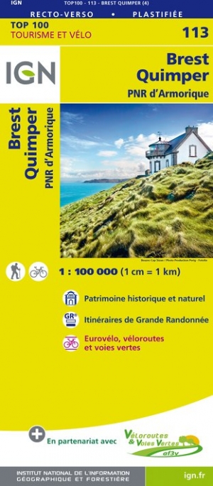
- Le Parc d`Armorique à pied, FFRP topo-guide Ref. No. PN12, with 43 day walks of varying length and difficulty in western Brittany. Current edition of this title was published in March 2016.To see the list of other FFRP guides with day walks please click on the series link.ABOUT THE FFRP (Fédération française de la randonnée pédestre)... Lire la suite
United Kingdom
2019
- Le Parc Naturel Regional du Pilat à pied
- Le Parc du Pilat à pied, FFRP topo-guide Ref. No. PN05, with 22 day walks of varying length and difficulty in the regional park between St. Etienne and the Rhone. Each walk is presented on a separate colour extract from IGN’s topographic survey of France at 1:25,000 and/or 1:50,000, with its description cross-referenced to the map. Current... Lire la suite

United Kingdom
2012
- Lot-et-Garonne à pied FFRP Topo-guide No. D047
- Lot-et-Garonne à pied, FFRP topo-guide Ref. No.D047, with 36 day walks of varying length and difficulty in the department of Lot-et-Garonne, near Agen and the confluence of the two rivers, the Lot and the Garonne. Each walk is presented on a separate colour extract from IGN’s topographic survey of France at 1:25,000, with its description... Lire la suite
United Kingdom
- Les environs de Lyon a pied
- Environs de Lyon à pied, FFRP Topo-guide No. RE20, with 41 day walks of varying length and difficulty all accessible within a 60min journey from Lyon on the regional train network (TER). Current edition of this title was published in March 2016.To see the list of other FFRP guides with day walks please click on the series link.ABOUT THE FFRP... Lire la suite
United Kingdom
2020
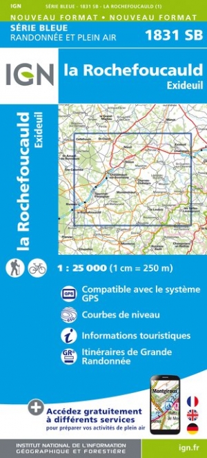
- La Vienne à pied
- La Vienne à pied, FFRP topo-guide Ref. No. D086, with 36 day walks of varying length and difficulty in the department of Vienne around Poitiers. Current edition of this title was published in August 2008.To see the list of other FFRP guides with day walks please click on the series link.ABOUT THE FFRP (Fédération française de la randonnée... Lire la suite
Cartes

United Kingdom
- Le Perche Parc Naturel Régional à pied FFRP Topo-guide No. PN16
- Le Perche Parc Naturel Régional à pied, FFRP topo-guide Ref. No. PN16, with 20 day walks of varying length and difficulty in the park. Each walk is presented on a separate colour extract from IGN’s topographic survey of France at 1:25,000, with its description cross-referenced to the map. Current edition of this title was published in May... Lire la suite

United Kingdom
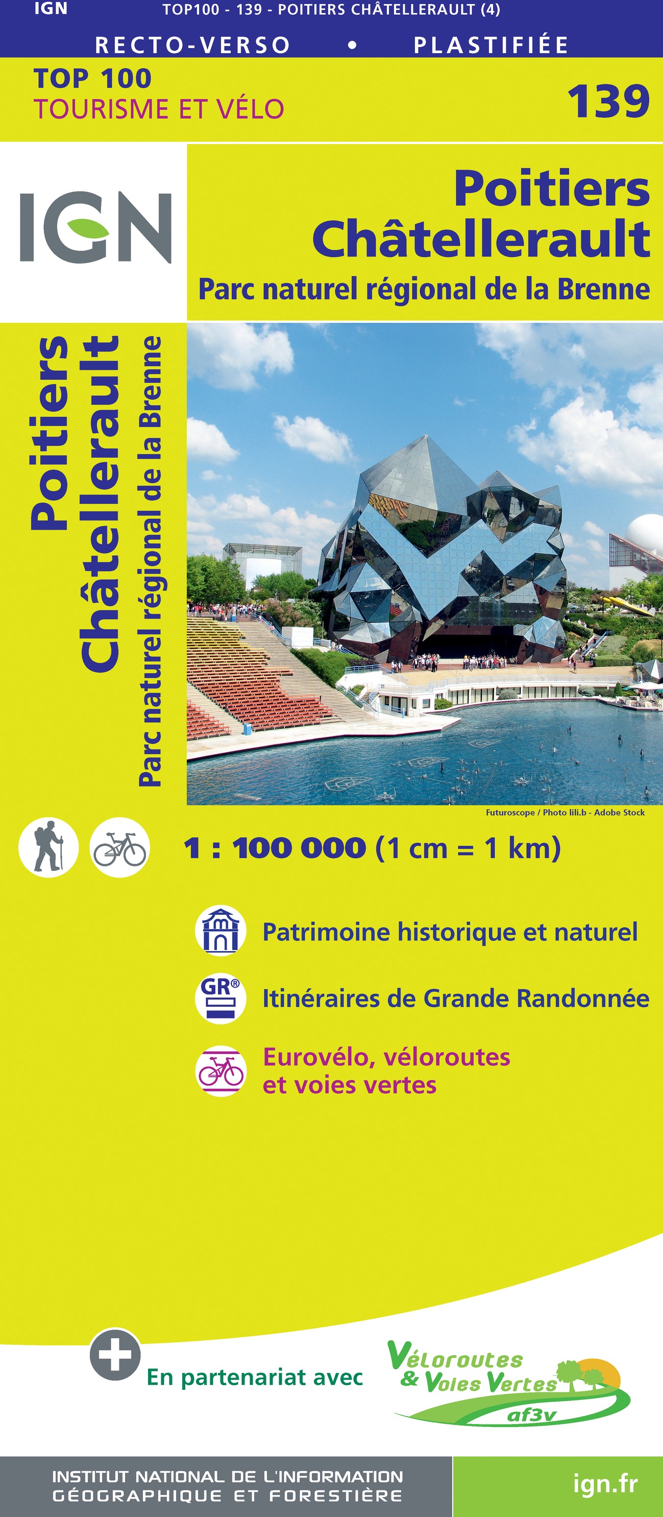
- La Brenne Parc Naturel Régional IGN 83309
- Parc Naturel Régional de la Brenne east of Poitiers on a detailed map at 1:60,000 prepared by the IGN in collaboration with the park authorities, the FFRP and various tourist organizations. Current edition of this map was published in summer 2014.The map highlights numerous local and long-distance hiking trails, including specially selected... Lire la suite

United Kingdom
- France IGN Geological Map 904
- France: Geological Curiosities Map from the IGN combines a road map highlighting numerous sites of special geological interest with, on the reverse, a geological map from the BRGM, the country’s geological survey organization.On one side a road map of the country is overprinted with symbols highlighting places of special geological interest:... Lire la suite

- Also available from:
- De Zwerver, Netherlands

- Also available from:
- De Zwerver, Netherlands

United Kingdom
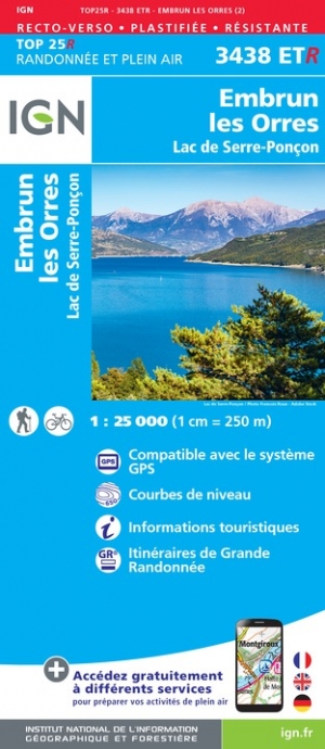
- Embrun / Les Orres / Lac de Serre-Poncon
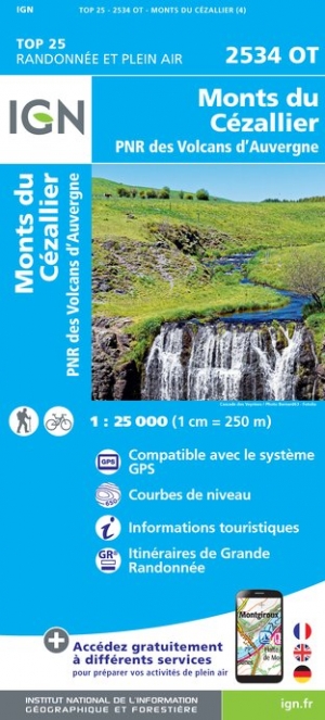
- Topographic survey of France at 1:25,000 in IGN`s excellent TOP25 / Série Bleue series. All the maps are GPS compatible, with a 1km UTM grid plus latitude and longitude lines at 5’ intervals. Contours are at 5m intervals except for mountainous areas where the maps have contours at 10m intervals, vividly enhanced by hill shading and graphics for... Lire la suite
- Also available from:
- De Zwerver, Netherlands
Netherlands
- Wandelkaart - Topografische kaart 3438ETR Embrun | IGN - Institut Géographique National
- Topographic survey of France at 1:25,000 in IGN`s excellent TOP25 / Série Bleue series. All the maps are GPS compatible, with a 1km UTM grid plus latitude and longitude lines at 5’ intervals. Contours are at 5m intervals except for mountainous areas where the maps have contours at 10m intervals, vividly enhanced by hill shading and graphics for... Lire la suite

- Also available from:
- De Zwerver, Netherlands

- Also available from:
- De Zwerver, Netherlands

United Kingdom
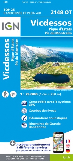
- Vicdessos / Pique d'Estats / Pic du Montcalm
- Topographic survey of France at 1:25,000 in IGN`s excellent TOP25 / Série Bleue series. All the maps are GPS compatible, with a 1km UTM grid plus latitude and longitude lines at 5’ intervals. Contours are at 5m intervals except for mountainous areas where the maps have contours at 10m intervals, vividly enhanced by hill shading and graphics for... Lire la suite
- Also available from:
- De Zwerver, Netherlands
Netherlands
- Wandelkaart - Topografische kaart 2148OT Vicdessos, Pic d'Estats et de Montcalm, Pyrenees-Ariegeoises | IGN - Institut Géographique National
- Topographic survey of France at 1:25,000 in IGN`s excellent TOP25 / Série Bleue series. All the maps are GPS compatible, with a 1km UTM grid plus latitude and longitude lines at 5’ intervals. Contours are at 5m intervals except for mountainous areas where the maps have contours at 10m intervals, vividly enhanced by hill shading and graphics for... Lire la suite

United Kingdom
- Axat / Querigut / Gorges de l'Aude
- Topographic survey of France at 1:25,000 in IGN`s excellent TOP25 / S�rie Bleue series. All the maps are GPS compatible, with a 1km UTM grid plus latitude and longitude lines at 5� intervals. Contours are at 5m intervals except for mountainous areas where the maps have contours at 10m intervals, vividly enhanced by hill shading and graphics for ... Lire la suite

United Kingdom
- Plumeliau / Bubry
- Topographic survey of France at 1:25,000 in IGN`s excellent TOP25 / S�rie Bleue series. All the maps are GPS compatible, with a 1km UTM grid plus latitude and longitude lines at 5� intervals. Contours are at 5m intervals except for mountainous areas where the maps have contours at 10m intervals, vividly enhanced by hill shading and graphics for ... Lire la suite
- Also available from:
- De Zwerver, Netherlands

Netherlands
- Wandelkaart - Topografische kaart 0819SB Pluméliau | IGN - Institut Géographique National
- Topographic survey of France at 1:25,000 in IGN`s excellent TOP25 / S�rie Bleue series. All the maps are GPS compatible, with a 1km UTM grid plus latitude and longitude lines at 5� intervals. Contours are at 5m intervals except for mountainous areas where the maps have contours at 10m intervals, vividly enhanced by hill shading and graphics for ... Lire la suite

- Also available from:
- De Zwerver, Netherlands

United Kingdom
- Also available from:
- De Zwerver, Netherlands

- Also available from:
- De Zwerver, Netherlands

- Also available from:
- De Zwerver, Netherlands