
Languedoc
Description

The Haut Languedoc is a mountain region between Toulouse and Montpellier, in the south of France. These mountains mark the southern edge of the Massif Central.
Carte

Sentiers de cette région
Liens
Données
Rapports
Guides et cartes
Hébergement
Organisations
Voyagistes
GPS
Autre
Livres

Stanfords
United Kingdom
2020
United Kingdom
2020
- Tour du Larzac, Templier - Hospitalier - Entre causses et vallées GR71C/GR71D
- Tour du Larzac - Templier et Hospitalier, FFRP topoguide Ref. No. 710, covering the 195kms of hiking circuits along the GR71C and GR71D south of Millau in the Causse du Larzac, plus 13 local day walks. Current edition of this title was published in December 2015.ABOUT THE FFRP (Fédération française de la randonnée pédestre) TOPOGUIDES:... Lire la suite

Stanfords
United Kingdom
United Kingdom
- Les Monts du Beaujolais et du Lyonnais à pied FFRP Topo-guide No. P691
- Les Monts du Beaujolais et du Lyonnais à pied, FFRP topo-guide Ref. No. P691, with 34 day walks of varying length and difficulty in the region between Mâcon and St.Etienne, including a route along the GR7 and its variants. Each walk is presented on a separate colour extract from IGN’s topographic survey of France at 1:25,000, with its... Lire la suite

Stanfords
United Kingdom
2019
United Kingdom
2019
- L`Herault a pied - du Haut Languedoc a la Mediterranee
- L`Hérault à pied, FFRP topo-guide Ref. No. D034, with 69 day walks of varying length and difficulty in the department. Each walk is presented on a separate colour extract from IGN’s topographic survey of France at 1:25,000, with its description cross-referenced to the map. Current edition of this title was published in July 2015.To see the list... Lire la suite

Stanfords
United Kingdom
2009
United Kingdom
2009
- Mende et ses environs à pied FFRP Topo-guide No. P481
- Mende et ses environs à pied, FFRP topo-guide Ref. No. P481, with 20 day walks of varying length and difficulty mainly south of the town . Each walk is presented on a separate colour extract from IGN’s topographic survey of France at 1:25,000, with its description cross-referenced to the map. Current edition of this title was published in... Lire la suite

Stanfords
United Kingdom
2013
United Kingdom
2013
- GR6/61/62/63/66/67: Grande Traversee du Gard, Mont Aigoual - Avignon FFRP Topo-guide No. 603
- Grande Traversée du Gard: Mont Aigoual - Avignon, FFRP topoguide, Ref. No. 603, covering ten GR routes in the Cevennes and in the department of Gard: GR6 from Beaucaire to Meyrueis (164.5km), GR63 from Avignon to Col de la Lusette (142.5km), GR67 – a 120.5km circuit from Anduze, GR66 – an 81km tour of Mont Aigoual starting at L’Espérou, plus... Lire la suite

Stanfords
United Kingdom
2017
United Kingdom
2017
- Chemins de St. Jacques: Toulouse - Jaca - Lourdes GR653/GR101/GR78
- The last stretch of the Toulouse route before reaching Spain and the Camino Frances.Chemins de St. Jacques: Toulouse - Jaca, FFRP topoguide Ref. No. 6534, covering one of the southern routes of the Way of St. James in France: from Toulouse along the GR 653, with variants through Pau or Tarbes, across Col du Somport to Jaca in the Spanish... Lire la suite

Stanfords
United Kingdom
2019
United Kingdom
2019
- Sentier vers Saint-Jacques-de-Compostelle via Arles: Arles - Toulouse GR653
- GR653: Chemins de St. Jacques from Arles to Toulouse, FFRP topo-guide Ref. No. 6533 in a new edition published in July 2019, with colour reproductions of IGN’s topographic mapping at 1:50,000. The guide covers the 465-km long Via Arletanensis route of the Way of St James in France from Arles across Montpellier and Cartres to Toulouse.From... Lire la suite

Stanfords
United Kingdom
2009
United Kingdom
2009
- GR40: Tour des Volcans du Velay FFRP Topo-guide No. 425
- GR40: Tour des Volcans du Velay, FFRP topo-guide ref. no. 425, one of the titles from an extensive series of light, high quality, A5 paperback guides to the Sentiers de Grande Randonnée, the GR routes, a dense network of long-distance footpaths across the French countryside. Each topo-guide covers either a circular route, or part of a longer... Lire la suite

Stanfords
United Kingdom
2012
United Kingdom
2012
- GR62B/GR36/GR46 Le Chemin de Conques à Toulouse FFRP Topo-guide No. 3646
- Le Chemin de Conques à Toulouse, FFRP topoguide Ref. no. 3646, covering 563kms of various GR routes in the region of Quercy and the Gorges of the Aveyron between Conques and Cahors in the north and Toulouse and Albi in the south: le Chemin de Conques à Toulouse along the GR62B, 36 and 46; GR 36 from Cahors to Albi; GR46 along the Gorges of the... Lire la suite

The Book Depository
United Kingdom
United Kingdom
Stanfords
United Kingdom
2021
United Kingdom
2021
- Tour du Mont-Lozere et du Causse Méjean GR6/GR68
- Tours du Mont-Lozère et du Causse Méjean, FFRP topo-guide Ref. No. 631, with the two circular tours, a 117-km Tour du Mont Lozère and a 111-km Tour du Causse Méjean, plus additional trails along the GR7 and GR70.ABOUT THE FFRP (Fédération française de la randonnée pédestre) TOPOGUIDES: published in a handy A5 paperback format, the guides are... Lire la suite
- Also available from:
- The Book Depository, United Kingdom

The Book Depository
United Kingdom
2021
United Kingdom
2021

The Book Depository
United Kingdom
2017
United Kingdom
2017
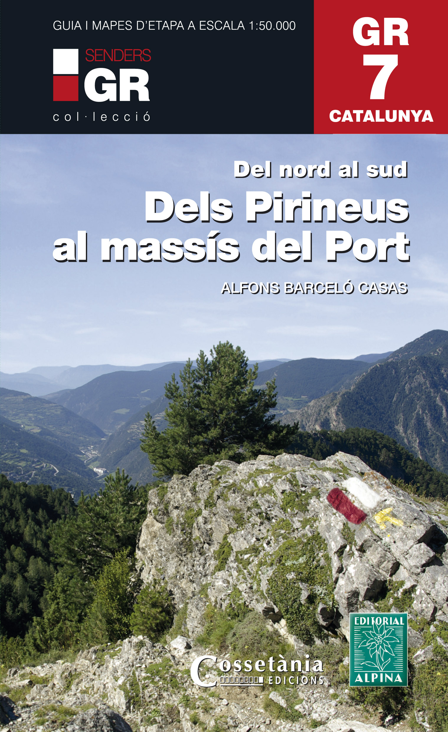
- Dels Pirineus al Massis del Port GR7 incl 15 maps
- Prachtige uitvoering van een beschrijving van de GR7 in Catalonie in 21 etappes van Porte naar Fredes, helaas wel in het Spaans. Veel details en een nauwkeurige routebeschrijving, uitgevoerd in een ringband. Nadeel is dat het een vrij zware gids is geworden. Belangrijk is echter de set losse kaarten op schaal 1:50.000; op deze topografische... Lire la suite
- Also available from:
- De Zwerver, Netherlands
De Zwerver
Netherlands
2017
Netherlands
2017
- Wandelgids GR 7 Catalunya - dels Pirineus al Massís del Port : Del nord al sud | Editorial Alpina
- Prachtige uitvoering van een beschrijving van de GR7 in Catalonie in 21 etappes van Porte naar Fredes, helaas wel in het Spaans. Veel details en een nauwkeurige routebeschrijving, uitgevoerd in een ringband. Nadeel is dat het een vrij zware gids is geworden. Belangrijk is echter de set losse kaarten op schaal 1:50.000; op deze topografische... Lire la suite

The Book Depository
United Kingdom
2021
United Kingdom
2021
- Trekking the GR7 in Andalucia
- From Tarifa to Puebla de Don Fadrique Lire la suite
- Also available from:
- De Zwerver, Netherlands
De Zwerver
Netherlands
2021
Netherlands
2021
- Wandelgids Walking the GR7 in Andalucia | Cicerone
- From Tarifa to Puebla de Don Fadrique Lire la suite

The Book Depository
United Kingdom
2022
United Kingdom
2022
- Trekking the Cathar Way
- The GR367 Sentier Cathare in southern France Lire la suite
- Also available from:
- De Zwerver, Netherlands
De Zwerver
Netherlands
2022
Netherlands
2022
- Wandelgids The Cathar Way | Cicerone
- The GR367 Sentier Cathare in southern France Lire la suite

- Also available from:
- De Zwerver, Netherlands
Cartes

Stanfords
United Kingdom
2016
United Kingdom
2016
- Le Languedoc-Roussillon à pied FFRP Topo-guide No. RE13
- Le Languedoc-Roussillon à pied, FFRP topo-guide Ref. No. RE13, with 50 day walks in the some of the most visited departments in France: Lozère, Gard, Hérault, Aude and Pyrénées Orientales which include Mende, Alès, Nîmes, Montpellier, Béziers, Narbonne, Carcassonne and Perpignan. Each day walk is presented on a separate colour extract from... Lire la suite

Stanfords
United Kingdom
2019
United Kingdom
2019
- Pyrénées Orientales et tours du Capcir, du Carlit et de Cerdagne GR10/GR36
- More than 30 days of hiking, including 12 to join Banyuls in Mérens-les-Vals.Pyrénées Orientales, FFRP topoguide, Ref. No. 1092, covering the fourth and last section of the GR10 along the Pyrenees from the Atlantic to the Mediterranean – a 196-km long walk from Mérens-les-Vals to Banyuls-sur-Mer. The guide also covers a 177-km trail along the... Lire la suite

Stanfords
United Kingdom
United Kingdom
- Hungarian National Long-distance Blue Trail (E7): Irott-ko to Szekszard
- Hiking guide to the western section of Hungary’s National Blue Trail, including part of the E7 European long-distance footpath. The guide covers the route from Írott-ko in the Koszegi range on the Austrian border, across the Orség National Park and the Mecsek Hills near Pécs, to Szekszárd. At the border crossing with Slovakia near... Lire la suite

Stanfords
United Kingdom
United Kingdom
- E4 Arquipelago de Cabo Verde
- Plans included:Porto Novo (Ilha de Santo Antão) (1:10 000)Mindelo (Porto Grande) (Ilha de São Vicente) (1:20 000)Ilha de Santa Luzia (1:not known)Porto de Tarrafal (Ilha de São Nicolau) (1:8500)Porto da Preguiça (Ilha de São Nicolau) (1:8500)Baía da Palmeira (Ilha do Sal) (1:15 000)Porto de Sal-Rei (Ilha da Boavista) (1:30 000)Porto da Praia... Lire la suite

Stanfords
United Kingdom
2018
United Kingdom
2018
- Le Chemin de Régordane - Chemin de Saint-Gilles GR700
- GR700: Le Chemin Régordane: Le-Puy-en-Velay - St-Gilles-du Gard, FFRP topo-guide ref. no. 7000, one of the titles from an extensive series of light, high quality, A5 paperback guides to the Sentiers de Grande Randonnée, the GR routes, a dense network of long-distance footpaths across the French countryside. Each topo-guide covers either a... Lire la suite

Stanfords
United Kingdom
United Kingdom
- Transrhodopi - Long distance hiking and biking trail From Trigrad to Ivaylovgrad
- Western Rhodope Mountains at 1:100,000 on a contoured GPS compatible map from Domino extending from just west of the Pirin National Park to Asenovgrad in the north-east. The map is double-sided with a good overlap between the sides. Topography is shown by contours at 50m intervals with relief shading and spot heights, plus colouring for... Lire la suite

Stanfords
United Kingdom
United Kingdom
- Grande Traversée de l’Hérault a VTT: Montpellier – La Salvetat/Minervois
- Grande Traversée de l’Hérault a VTT: Montpellier - La Salvetat/Minervois covers a mountain bike route across the Languedoc region presented on 1:50,000 topographic survey maps. Starting at Fondespierre, just north of Montpellier, the route provides two alternative destination points: Le Salvetat-sur-Agoût in the Haut-Languedoc Regional Park... Lire la suite

Stanfords
United Kingdom
United Kingdom
- Peloponnese Anavasi Road Atlas
- Road Atlas of the Peloponnese from Anavasi, in an A4 paperback format, with contoured, GPS compatible mapping at 1:50,000, very detailed road classification, hiking paths, and place names in both Greek and Latin alphabets.The main section of the atlas has 178 pages of detailed maps with contours at 100m intervals, altitude colouring and relief... Lire la suite

Stanfords
United Kingdom
2017
United Kingdom
2017
- Le Chemin du Piemont Pyreneen - vers Saint-Jacques-de-Compostell
- Le Chemin du Piémont Pyrénéen, FFRP topoguide, Ref. No. 780, covering the GR78 - the Way of St. James along the northern side of the Pyrenees from Carcassonne to Roncesvalles on the Spanish side, with an alternative variant to cross the mountains along the Col du Somport. Current edition of this title was published in May 2017.The route, the... Lire la suite

Stanfords
United Kingdom
United Kingdom
- Taygetos - North Taygetos Anavasi 8.1
- The Taygetos range between Sparta and Kalamata at 1:50,000 on a contoured, GPS compatible map from Anavasi with on the reverse a special map highlighting the region’s numerous hiking trails, including the course of the E4 European long-distance path.On one side is the main map of the area with excellent presentation of its topography by... Lire la suite

Stanfords
United Kingdom
United Kingdom
- Greece: Attika and Central Greece Road Atlas
- Road Atlas of Attika, the region around Athens, and Central Greece from Anavasi, in an A4 paperback format, with contoured mapping at 1:50,000, a 2km UTM grid for GPS users, very detailed road classification, hiking paths, and place names in both Greek and Latin alphabets.The main section of the atlas has 219 pages of detailed maps with... Lire la suite

Stanfords
United Kingdom
United Kingdom
- Port-Saint-Louis-du-Rhone - PNR de Camargue IGN 3044OT
- Topographic survey of France at 1:25,000 in IGN`s excellent TOP25 / Série Bleue series. All the maps are GPS compatible, with a 1km UTM grid plus latitude and longitude lines at 5’ intervals. Contours are at 5m intervals except for mountainous areas where the maps have contours at 10m intervals, vividly enhanced by hill shading and graphics for... Lire la suite

Stanfords
United Kingdom
United Kingdom
- Olympus Geopsis 139
- Mt Olympus in a series of waterproof and tear-resistant hiking maps at scales varying from 1:50,000 to 1:10,000, with a UTM grid for GPS users. Contour interval varies depending on the scale, on most maps it is 20m. Relief shading, spot heights, springs, seasonal streams and, in most titles, landscape/land-use variations, e.g. forests,... Lire la suite
Stanfords
United Kingdom
United Kingdom
- Hungarian National Long-distance Blue Trail (E4): Visegrad to Irott-ko
- Hiking guide to the north-western section of Hungary’s National Blue Trail which forms part of the E4 European long-distance footpath. The guide covers the route from the historic town of Visegrád on the Danube, across the Buda Hills on the outskirts of Budapest and the Bakony Hills along the north-eastern shore of Lake Balaton, to Írott-ko in... Lire la suite
Stanfords
United Kingdom
United Kingdom
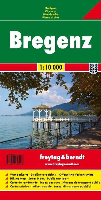
- Bregenz F&B
- Indexed street plan of Bregenz extending north along the Bodensee coast to Lochau and Unter Hochsteg. Detail includes pedestrianised areas, railways, bus routes and cycle paths. Notable buildings are highlighted in red, and symbols indicate post offices, hostels, campsites and car parks.On the reverse is a 1:50,000 contoured map of the... Lire la suite