
Ticino
Description
Carte

Sentiers de cette région
Liens
Données
Rapports
Guides et cartes
Hébergement
Organisations
Voyagistes
GPS
Autre
Livres

- Also available from:
- De Zwerver, Netherlands

The Book Depository
United Kingdom
2023
United Kingdom
2023
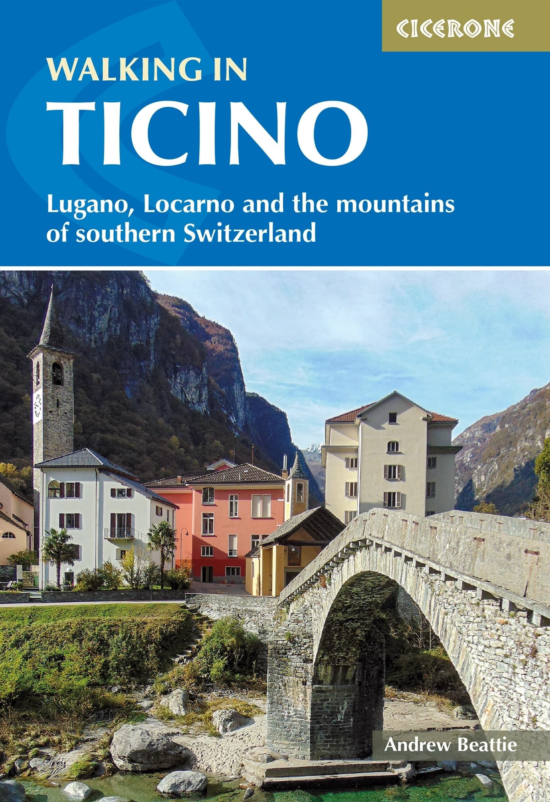
- Walking in Ticino
- Lugano, Locarno and the mountains of southern Switzerland Lire la suite
- Also available from:
- De Zwerver, Netherlands
De Zwerver
Netherlands
2023
Netherlands
2023
- Wandelgids Walking in Ticino | Cicerone
- Lugano, Locarno and the mountains of southern Switzerland Lire la suite
Bol.com
Netherlands
Netherlands
- Sehnsuchtsorte in Europa
- Dieser Reisebericht ist anders. Er fuhrt Sie quer durch Europa, zu ausgewahlten Orten, die fur den Autor und seine Frau seit langem zu Sehnsuchtsorten geworden sind. Die Reise beginnt in der malerischen danischen Sudsee und endet am sudlichsten Punkt Andalusiens, sie fuhrt vom winterlichen Rugen zu Weltstadten wie London und Paris und von dort... Lire la suite
- Also available from:
- Bol.com, Belgium
Bol.com
Belgium
Belgium
- Sehnsuchtsorte in Europa
- Dieser Reisebericht ist anders. Er fuhrt Sie quer durch Europa, zu ausgewahlten Orten, die fur den Autor und seine Frau seit langem zu Sehnsuchtsorten geworden sind. Die Reise beginnt in der malerischen danischen Sudsee und endet am sudlichsten Punkt Andalusiens, sie fuhrt vom winterlichen Rugen zu Weltstadten wie London und Paris und von dort... Lire la suite
De Zwerver
Netherlands
2009
Netherlands
2009
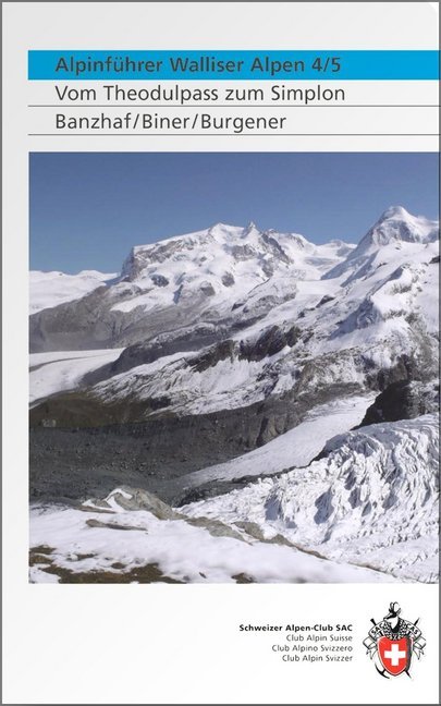
- Klimgids - Klettersteiggids Alpinführer Walliser Alpen 4/5 | SAC Schweizer Alpenclub
- Vom Theodulpass zum Simplon. 1. Auflage. Lire la suite
Bol.com
Netherlands
2017
Netherlands
2017
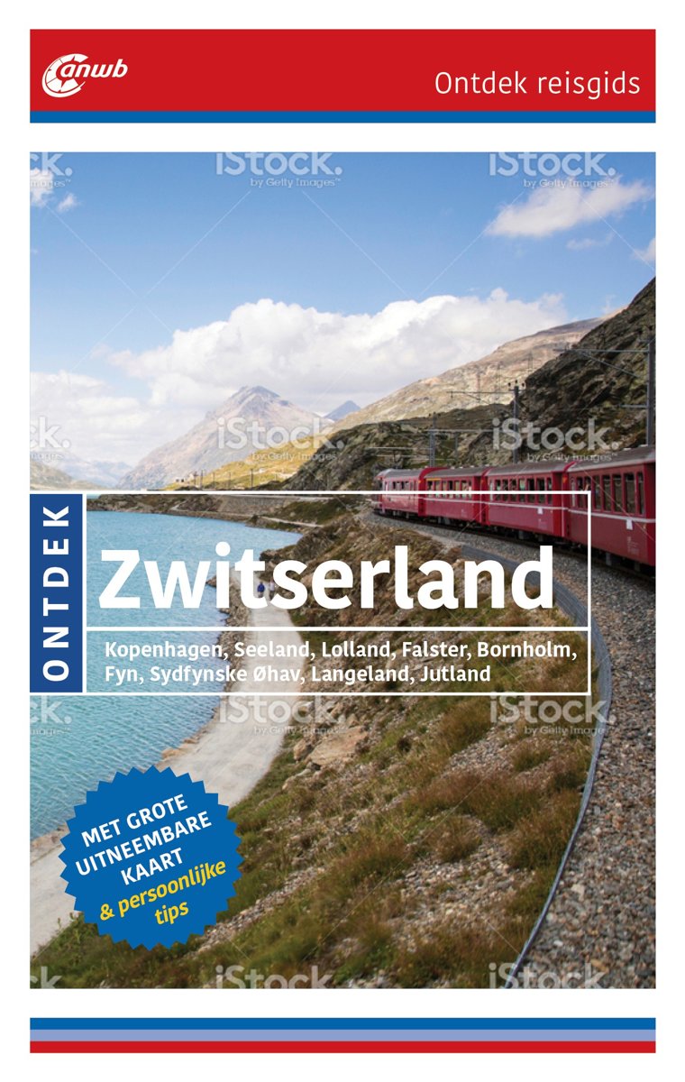
- ANWB Ontdek reisgids - Ontdek Zwitserland
- ANWB Ontdek reisgids ZwitserlandVerken Zwitserland op een andere manier met de uitgebreide ANWB Ontdek reisgids Zwitserland! Natuurlijk mag je de vele bezienswaardigheden in de steden Jura en Basel niet missen, maar ga ook eens van de gebaande paden en wandel langs de langste gletsjer van de Alpen: de Aleschgletsjer Wallis, bezoek kunstmuseum... Lire la suite
- Also available from:
- Bol.com, Belgium
Bol.com
Belgium
2017
Belgium
2017
- ANWB Ontdek reisgids - Ontdek Zwitserland
- ANWB Ontdek reisgids ZwitserlandVerken Zwitserland op een andere manier met de uitgebreide ANWB Ontdek reisgids Zwitserland! Natuurlijk mag je de vele bezienswaardigheden in de steden Jura en Basel niet missen, maar ga ook eens van de gebaande paden en wandel langs de langste gletsjer van de Alpen: de Aleschgletsjer Wallis, bezoek kunstmuseum... Lire la suite

De Zwerver
Netherlands
2016
Netherlands
2016
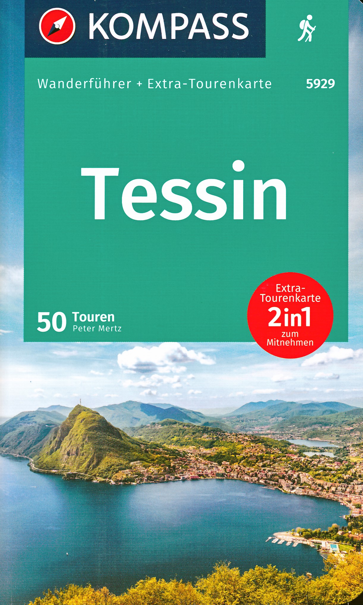
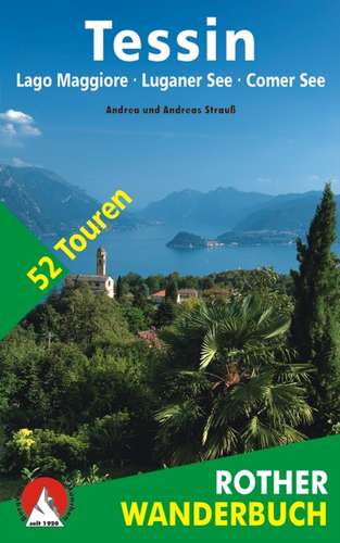
- Wandelgids Tessin | Rother Bergverlag
- De ‘Rother Wanderbücher’ behandelen telkens de 50 mooiste wandelingen, die variëren van eenvoudige kindvriendelijke wandelingen tot routes die aanzienlijk meer ervaring vereisen. Uitvoerige routebeschrijvingen, een aantrekkelijke lay-out met vele kleurenfoto’s, niets aan duidelijkheid te wensen gelaten hoogteprofielen, kaartjes met de... Lire la suite
De Zwerver
Netherlands
2022
Netherlands
2022
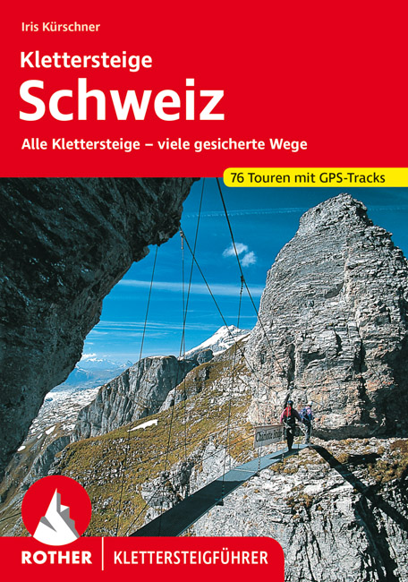
- Klimgids - Klettersteiggids Klettersteige Schweiz | Rother Bergverlag
- Alle 42 Klettersteige sowie die 24 schönsten gesicherten Wege, darunter eine 5-Tages-Tour Rother Wanderführer. 4., erweiterte und aktualisierte Auflage. Lire la suite
De Zwerver
Netherlands
2009
Netherlands
2009
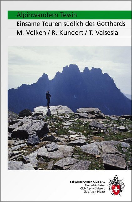
- Wandelgids Alpinwandern Tessin | SAC Schweizer Alpenclub
- Bergwandelgids voor Tessin. De gids beschrijft een groot aantal wandel routes door de Zwitserse Alpen in Tessin in verschillende etappes. De etappes zijn te combineren in rondwandelingen en diverse lange afstands tochten. De moeilijkheidsgraad van elke alpine tocht wordt aangegeven en verder geeft de gids ook een keur aan praktische informatie,... Lire la suite
De Zwerver
Netherlands
2014
Netherlands
2014
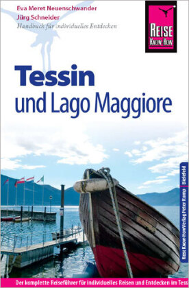
- Opruiming - Reisgids Tessin mit Lago Maggiore | Reise Know-How Verlag
- Reise Know-How is een duitstalige praktische reisgids voor alle leeftijden, boordevol informatie over accommodatie van budget tot luxe, vervoer en plaatsbeschrijvingen. Kenmerk : brede cultuur en achtergrondinformatie, bondig geschreven. -Ausstattung: komplett in Farbe, über 120 Fotos, 13 detaillierte Karten und Ortspläne; Sprachhilfe... Lire la suite
De Zwerver
Netherlands
Netherlands
Plus de livres …
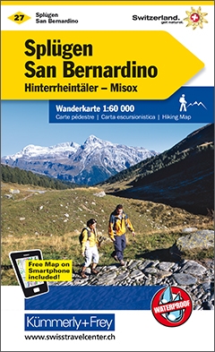
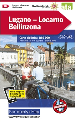
Cartes

Stanfords
United Kingdom
United Kingdom
- Alpe di San Benedetto 21
- Map No. 21, Alpe di San Benedetto: Passo del Muraglione – San Godenzo – Dicomano, in series of contoured, GPS compatible hiking maps at 1:25,000 from the Istituto Geografico Adriatico, covering mainly the spine of the Apennines along the borders of Tuscany, Emilia-Romagna, Umbria and the Marches.Map in this series have contours at 25m intervals... Lire la suite

Stanfords
United Kingdom
United Kingdom
- Alta Valle del Santerno 23
- Map No. 22, Alta Valle del Lamone: Alto Appennino Faentino – Anello di Marradi, in series of contoured, GPS compatible hiking maps at 1:25,000 from the Istituto Geografico Adriatico, covering mainly the spine of the Apennines along the borders of Tuscany, Emilia-Romagna, Umbria and the Marches.Map in this series have contours at 25m intervals... Lire la suite

Stanfords
United Kingdom
United Kingdom
- Ticino Swisstopo 107
- Swiss canton of Ticino on a Swiss topographic survey map at 1:100,000. Coverage extends south to Lake Lugano, most of Lake Maggiore, and most of Lake Como with the town of Como.Maps in the Swiss topographic survey at 1:100,000 from Swisstopo are highly regarded for their superb use of graphic relief and hill shading, presenting an almost 3-D... Lire la suite

Stanfords
United Kingdom
United Kingdom
- Alta Valle del Lamone 22
- Map No. 22, Alta Valle del Lamone: Alto Appennino Faentino – Anello di Marradi, in series of contoured, GPS compatible hiking maps at 1:25,000 from the Istituto Geografico Adriatico, covering mainly the spine of the Apennines along the borders of Tuscany, Emilia-Romagna, Umbria and the Marches.Map in this series have contours at 25m intervals... Lire la suite

Stanfords
United Kingdom
United Kingdom
- Colline di Forlí
- Map No. 127, Colline di Forlí, in a series of GPS compatible hiking maps at 1:50,000 from the Istituto Geografico Adriatico, covering parts of central Italy: eastern Tuscany, with northern Umbria and the Marches, plus the south-eastern of part of Emilia-Romagna.The maps have contours at 50m intervals with additional shading and numerous spot... Lire la suite
Stanfords
United Kingdom
United Kingdom
- Appennino Tosco-Romagnolo East
- Map No. 135, Appennino Tosco-Romagnolo East, in a series of GPS compatible hiking maps at 1:50,000 from the Istituto Geografico Adriatico, covering parts of central Italy: eastern Tuscany, with northern Umbria and the Marches, plus the south-eastern of part of Emilia-Romagna.The maps have contours at 50m intervals with additional shading and... Lire la suite
Stanfords
United Kingdom
United Kingdom
- Monte Fumaiolo - Monte Comero 18
- Map No. 18, Monte Fumaiolo - Alto Tevere, in series of contoured, GPS compatible hiking maps at 1:25,000 from the Istituto Geografico Adriatico, covering mainly the spine of the Apennines along the borders of Tuscany, Emilia-Romagna, Umbria and the Marches.Map in this series have contours at 25m intervals with additional shading and numerous... Lire la suite

Stanfords
United Kingdom
United Kingdom
- Chasseral
- Chasseral - Bieler See area of the Swiss Jura at 1:50,000 in a series from Hallwag covering Switzerland’s popular hiking regions on light, waterproof and tear-resistant maps highlighting long-distance paths: the nine national routes plus special regional routes, as well as other local hiking trails.Cartography is similar to that used both in... Lire la suite
Stanfords
United Kingdom
United Kingdom
- Alta Val Tiberina
- Map No. 125, Alta Val Tiberina, in a series of GPS compatible hiking maps at 1:50,000 from the Istituto Geografico Adriatico, covering parts of central Italy: eastern Tuscany, with northern Umbria and the Marches, plus the south-eastern of part of Emilia-Romagna.The maps have contours at 50m intervals with additional shading and numerous spot... Lire la suite
Stanfords
United Kingdom
United Kingdom
- Bagno di Romagna Monti Editore 19
- Map No. 19, Bagno di Romagna, in series of contoured, GPS compatible hiking maps at 1:25,000 from the Istituto Geografico Adriatico, covering mainly the spine of the Apennines along the borders of Tuscany, Emilia-Romagna, Umbria and the Marches.The maps have contours at 25m intervals with additional shading and numerous Map in this series have... Lire la suite
Stanfords
United Kingdom
United Kingdom
- Haslital: Grindelwald - Engelberg 50K Hallwag Outdoor Map No. 5
- Haslital area, from Grindelwald to Engelberg, at 1:50,000 in a series from Hallwag covering Switzerland’s popular hiking regions on light, waterproof and tear-resistant maps highlighting long-distance paths: the nine national routes plus special regional routes, as well as other local hiking trails.Cartography is similar to that used both in... Lire la suite
Stanfords
United Kingdom
United Kingdom
- Riviera Cesenate - San Marino
- Map No. 128, Riviera Cesenate - San Marino, in a series of GPS compatible hiking maps at 1:50,000 from the Istituto Geografico Adriatico, covering parts of central Italy: eastern Tuscany, with northern Umbria and the Marches, plus the south-eastern of part of Emilia-Romagna.The maps have contours at 50m intervals with additional shading and... Lire la suite
Stanfords
United Kingdom
United Kingdom
- Monte Carpegna - Sasso di Simone
- Map No. 16, Monte Carpegna - Sasso di Simone, in series of contoured, GPS compatible hiking maps at 1:25,000 from the Istituto Geografico Adriatico, covering mainly the spine of the Apennines along the borders of Tuscany, Emilia-Romagna, Umbria and the Marches.Map in this series have contours at 25m intervals with additional shading and... Lire la suite
Stanfords
United Kingdom
United Kingdom
- Montreux
- Montreux - Col du Pillon area at 1:50,000 in a series from Hallwag covering Switzerland’s popular hiking regions on light, waterproof and tear-resistant maps highlighting long-distance paths: the nine national routes plus special regional routes, as well as other local hiking trails.Cartography is similar to that used both in Hallwag’s hiking... Lire la suite
Stanfords
United Kingdom
United Kingdom
- Alta Val Marecchia
- Map No. 126, Alta Val Marecchia, in a series of GPS compatible hiking maps at 1:50,000 from the Istituto Geografico Adriatico, covering parts of central Italy: eastern Tuscany, with northern Umbria and the Marches, plus the south-eastern of part of Emilia-Romagna.The maps have contours at 50m intervals with additional shading and numerous spot... Lire la suite