Bol.com
Netherlands
Netherlands
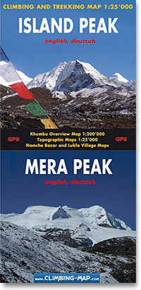
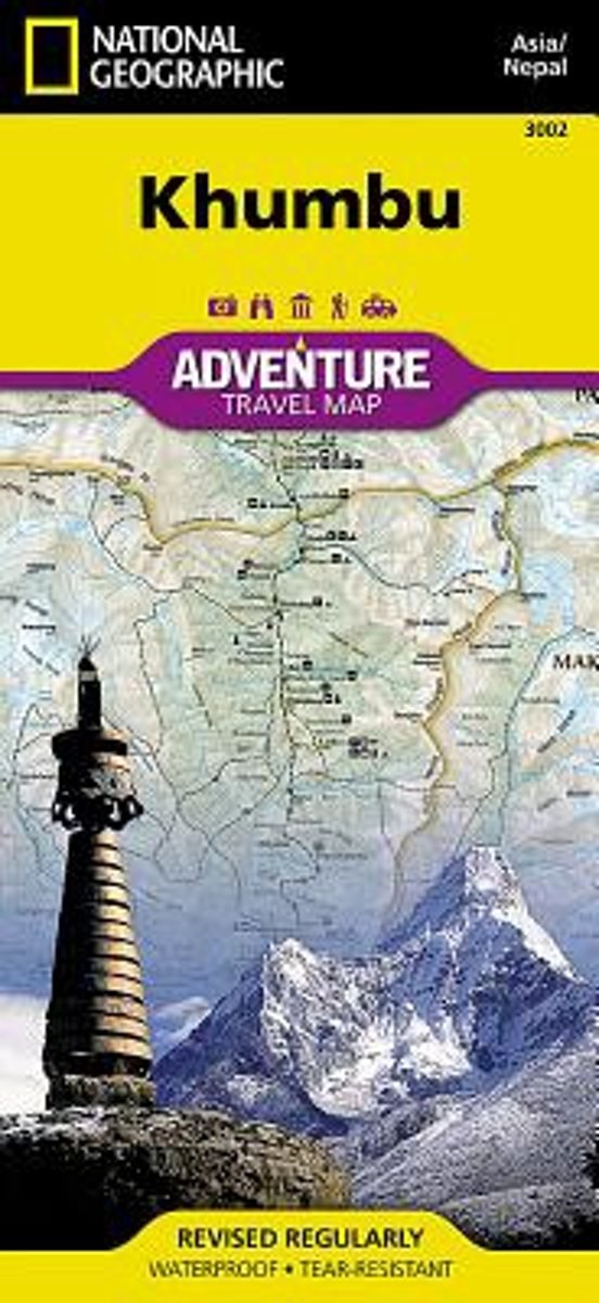
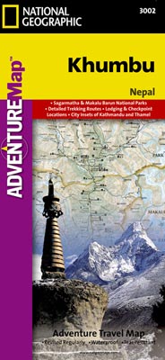
- Khumbu, Nepal
- Detailed topographic trekking map for the Khumbu region of Nepal. Includes coverage of Sagarmatha National Park, Makalu Barun National Park, and the western bordering foothills. Lire la suite
- Also available from:
- Bol.com, Belgium
- De Zwerver, Netherlands
Bol.com
Belgium
Belgium
- Khumbu, Nepal
- Detailed topographic trekking map for the Khumbu region of Nepal. Includes coverage of Sagarmatha National Park, Makalu Barun National Park, and the western bordering foothills. Lire la suite
De Zwerver
Netherlands
Netherlands
- Wandelkaart 3002 trekking map Khumbu - Nepal | National Geographic
- Mooie gedetailleerde topografische kaart, voorzien van veel extra info en gedrukt op water- en scheurvast materiaal. Each Adventure Map is highly detailed, incredibly durable, waterproof and tear-resistant. Stunning shaded relief brings each map to life, giving you the power to discover, plan and dream. Trail routes, villages, cultivated areas,... Lire la suite