Stanfords
United Kingdom
Stanfords
United Kingdom
Stanfords
United Kingdom
2010
Stanfords
United Kingdom
Stanfords
United Kingdom
Stanfords
United Kingdom
Stanfords
United Kingdom
Stanfords
United Kingdom
Stanfords
United Kingdom
Stanfords
United Kingdom
Stanfords
United Kingdom
Stanfords
United Kingdom
2012
The Book Depository
United Kingdom
» Click to open
De Zwerver
Netherlands
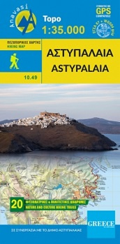
  • Wandelkaart 10.49 Astypalaia | Anavasi
  • Deze wandelkaart van Astipalaia is in samenwerking gemaakt met de gemeente Astipalaia. Het prachtige Chora met zijn grote Venetiaanse kasteel is ontzettend indrukwekkend, maar Astipalaia heeft nog veel meer te bieden. Er zijn 20 routes ontworpen en gemarkeerd. Via deze routes zijn de meeste monumenten (kastelen, basilicas, enz.) te bezoeken... Lire la suite
» Click to close
Stanfords
United Kingdom
» Click to open
The Book Depository
United Kingdom
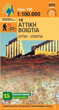
  • Attika Viotia
  • Attica and Boeotia at 1:100,000 in a series from Anavasi covering selected popular areas of central mainland Greece and the Peloponnese on GPS compatible, detailed topographic road maps printed on light, waterproof and tear-resistant synthetic paper. Coverage extends north well beyond Thebes/Thiva and Livadia to Atlanadi and includes Salamina... Lire la suite
De Zwerver
Netherlands
  • Wegenkaart - landkaart 10 Atiki - Attika | Anavasi
  • Attica and Boeotia at 1:100,000 in a series from Anavasi covering selected popular areas of central mainland Greece and the Peloponnese on GPS compatible, detailed topographic road maps printed on light, waterproof and tear-resistant synthetic paper. Coverage extends north well beyond Thebes/Thiva and Livadia to Atlanadi and includes Salamina... Lire la suite
» Click to close
Stanfords
United Kingdom
» Click to open
The Book Depository
United Kingdom
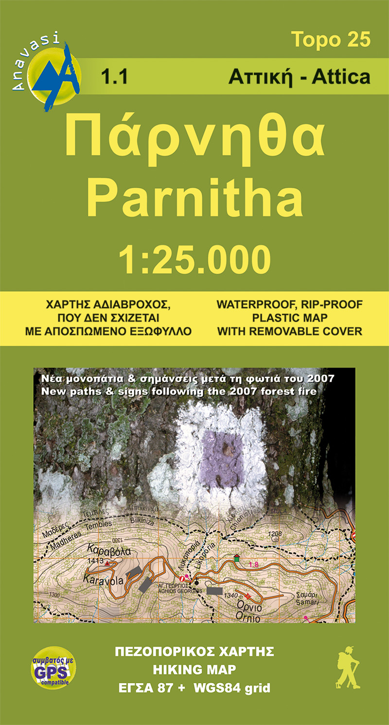
  • Northern Hymettus
  • Mt Parnitha in a series of waterproof and tear-resistant hiking maps at scales varying from 1:50,000 to 1:10,000, with a UTM grid for GPS users. Contour interval varies depending on the scale, on most maps it is 20m. Relief shading, spot heights, springs, seasonal streams and, in most titles, landscape/land-use variations, e.g. forests,... Lire la suite
De Zwerver
Netherlands
  • Wandelkaart 1.1 Mt. Parnitha | Anavasi
  • Mt Parnitha in a series of waterproof and tear-resistant hiking maps at scales varying from 1:50,000 to 1:10,000, with a UTM grid for GPS users. Contour interval varies depending on the scale, on most maps it is 20m. Relief shading, spot heights, springs, seasonal streams and, in most titles, landscape/land-use variations, e.g. forests,... Lire la suite
» Click to close