Armagh, map No. 19 in the Discoverer series from the Ordnance Survey of Northern Ireland presenting the country on detailed topographic maps at 1:50,000 with waymarked hiking trails, Sustrans National Cycle Network and other tourist information. Coverage includes Dungannon, Coalisland and Richhill. Current edition D; publication date November...Lire la suite
Strabane, map No. 12 in the Discoverer series from the Ordnance Survey of Northern Ireland presenting the country on detailed topographic maps at 1:50,000 with waymarked hiking trails, Sustrans National Cycle Network and other tourist information. Coverage includes Castlederg, Sion Mills and Newtownstewart. Current edition E; publication date...Lire la suite
Macgillycuddy`s Reeks and the Killarney National Park on a double-sided, GPS compatible map at 1:25,000 from the Ordnance Survey Ireland with cartography of the country’s topographic survey, plus the central part of the Reeks at 1:12,500. Coverage extends from Killarney westwards to Lough Caragh. Where appropriate place names are given in both...Lire la suite
The Sperrins, map No. 13 in the Discoverer series from the Ordnance Survey of Northern Ireland presenting the country on detailed topographic maps at 1:50,000 with waymarked hiking trails, Sustrans National Cycle Network and other tourist information. Coverage includes Omagh, Cookstown and Draperstown. Current edition E; publication date...Lire la suite
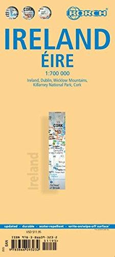
Indexed road map of Ireland published by Borch on laminated and tear-resistant paper. Cork & Dublin street plans, and more detailed maps of Killarney NP & the Wicklow Mts are on the reverse. Road detail extends from motorways to secondary roads, with intermediate driving distances indicated on major routes. Main railways and ferry links are...Lire la suite
Indexed road map of Ireland published by Borch on laminated and tear-resistant paper. Cork & Dublin street plans, and more detailed maps of Killarney NP & the Wicklow Mts are on the reverse. Road detail extends from motorways to secondary roads, with intermediate driving distances indicated on major routes. Main railways and ferry links are...Lire la suite
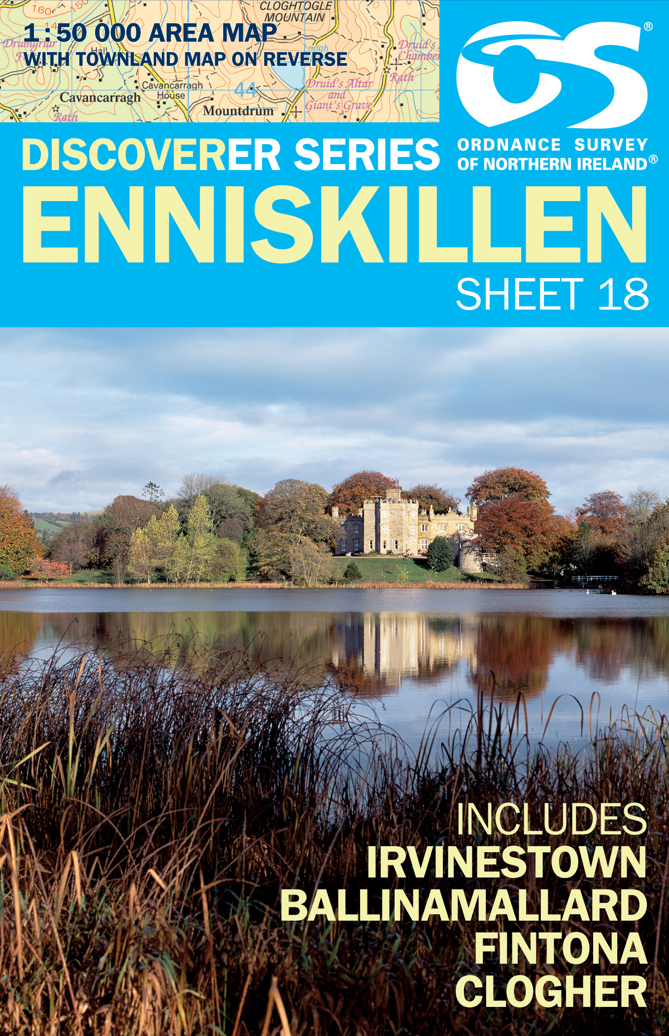
Enniskillen, map No. 18 in the Discoverer series from the Ordnance Survey of Northern Ireland presenting the country on detailed topographic maps at 1:50,000 with waymarked hiking trails, Sustrans National Cycle Network and other tourist information. Coverage includes Irvinestown, Ballinamallard, Fintona and Clogher. Current edtion E;...Lire la suite
Enniskillen, map No. 18 in the Discoverer series from the Ordnance Survey of Northern Ireland presenting the country on detailed topographic maps at 1:50,000 with waymarked hiking trails, Sustrans National Cycle Network and other tourist information. Coverage includes Irvinestown, Ballinamallard, Fintona and Clogher. Current edtion E;...Lire la suite
Reise Know-How Landkarte Großbritannien 1 : 750 000 ab 8.9 EURO Reiß- und wasserfest Reise Know-How World Mapping Project. 1. Auflage 2013Lire la suite