
Stanfords
United Kingdom
- Mgoun Massif, Central High Atlas Mountains
- Mgoun Massif in the Central High Atlas Mountains of Morocco on a ridge-type map at 1:100,000 from West Col Publications. The map is centred on the peak of Oumsoud and covers an area measuring approximately 80 km east/west and 50 km north south. An inset extends the coverage north-eastwards to include the Jbel Aroudan peak.Ridge maps do not... Lire la suite
De Zwerver
Netherlands
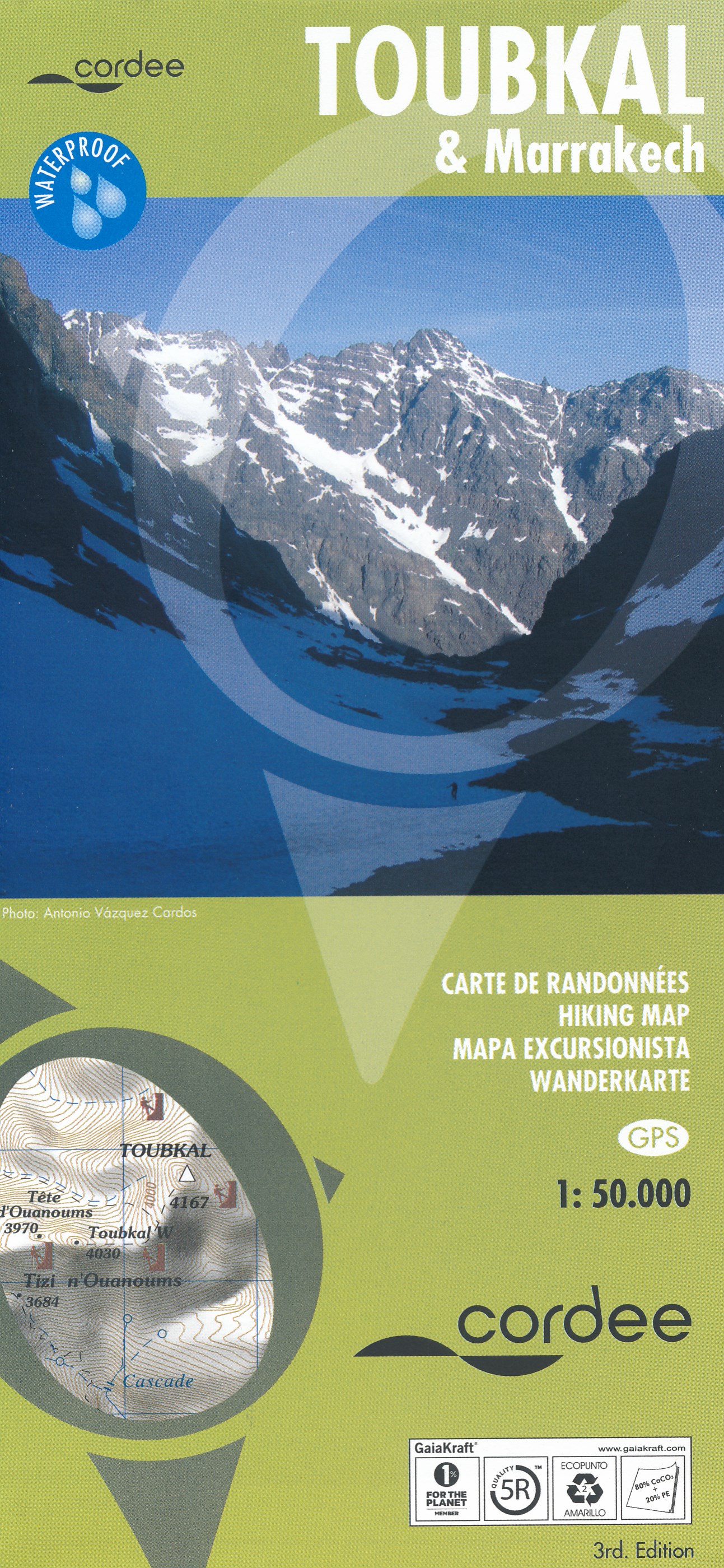
- Wandelkaart Toubkal & Marrakech | Cordee
- Een uitstekende (geplastificeerde) wandelkaart (1:50.000) van de omgeving van de Toubkal. Uitermate geschikt voor de beklimming en aansluitende trektocht. Met op de achterkant een stadsplattegrond van Marrakech. A detailed, accurate and up-to-date trekking map of Jebel Toubkal in the High Atlas mountains of Morocco, the highest peak in North... Lire la suite

Stanfords
United Kingdom
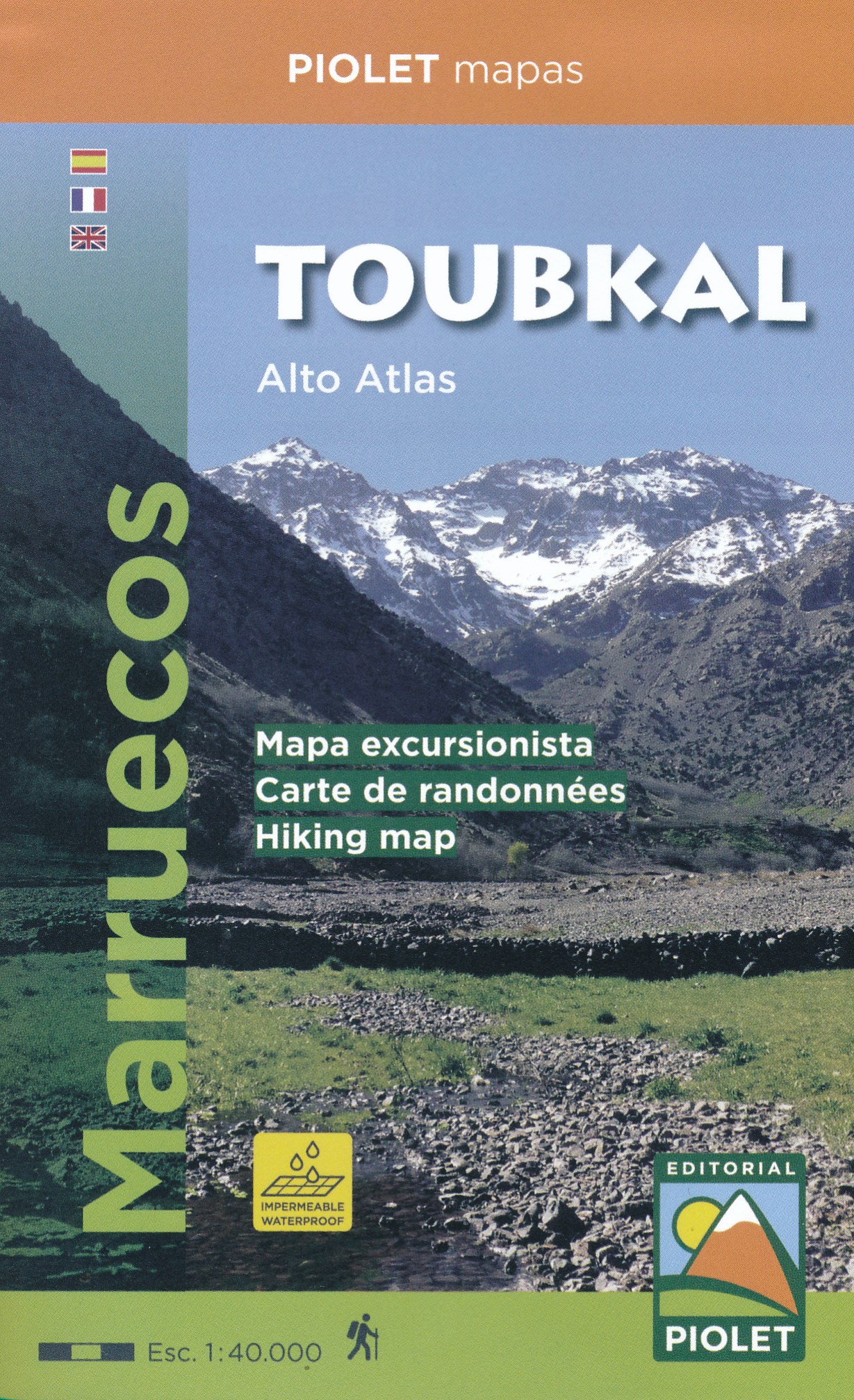
- Toubkal Editorial Piolet Hiking Map
- Jbel Toubkal and the surrounding area around Oukaïmeden and Imlil on a detailed, GPS compatible, contoured map at 1:40,000 from Editorial Piolet printed on light, waterproof and tear-resistant plastic paper.Contours at 20m intervals with bold relief shading present the topography. The map shows local roads, track and trails, including the... Lire la suite
De Zwerver
Netherlands
- Wandelkaart Toubkal, Hoge Atlas - Marokko | Editorial Piolet
- Uitstekende wandelkaart met veel topografische details op scheur- en watervast papier. O.a. hoogtelijnen, berghutten en wandelpaden zijn ingetekend. Geschikt voor GPS. 4 EDITION. Published in WATERPROOF (waterproof paper) 1:40.000 scale map of the area of Toubkal. Compatible with GPS. The area covered by the map is located mostly within the... Lire la suite