
Stanfords
United Kingdom
- Dynamic World Global Mapping Wall Map ENCAPSULATED
- With this encapsulated 1:40,000,000 scale wall map of the world, learn how natural phenomena creates our dynamic planet.The cartography displays contours through detailed shadings for both land and bathymetric formations. The map features detailed descriptions of plate tectonics, earthquakes and tsunamis, volcanoes, hotspots and impact craters,... Lire la suite

Stanfords
United Kingdom
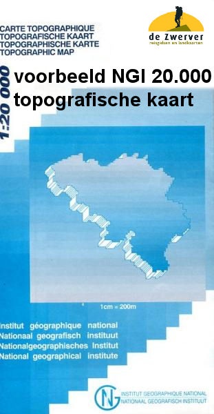
- Muno
- Topographical survey of Belgium at 1:20,000 from Nationaal Geografisch Instituut / Institut Géographique National, the country’s national survey organization. Each 20K map covers one quarter of the corresponding 1:50,000 map (with adjustments in the border and coastal areas). The maps provide all the information expected of topographic mapping... Lire la suite
Stanfords
United Kingdom
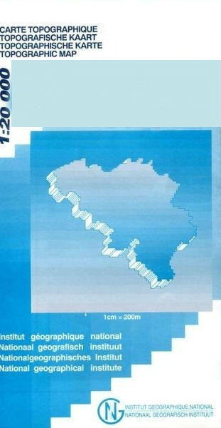
- Bilzen - Lanaken
- Topographical survey of Belgium at 1:20,000 from Nationaal Geografisch Instituut / Institut Géographique National, the country’s national survey organization. Each 20K map covers one quarter of the corresponding 1:50,000 map (with adjustments in the border and coastal areas). The maps provide all the information expected of topographic mapping... Lire la suite
Stanfords
United Kingdom
- Welkenraedt - Kelmis (La Calamine)
- Topographical survey of Belgium at 1:20,000 from Nationaal Geografisch Instituut / Institut Géographique National, the country’s national survey organization. Each 20K map covers one quarter of the corresponding 1:50,000 map (with adjustments in the border and coastal areas). The maps provide all the information expected of topographic mapping... Lire la suite

Stanfords
United Kingdom
- Mons NGI Topo 45 - WWI Battlefields
- Mons, map No. 45 in the topographic survey of Belgium at 1:50,000 covering the area of the Battle of Mons, British Army’s first major engagement in World War I in August 1914. The Mons - Condé Canal runs across the middle of the map and coverage includes Obourg where Private John Parr became the first British soldier to be killed in the war.... Lire la suite

Stanfords
United Kingdom
- Huy - Nandrin
- Topographical survey of Belgium at 1:20,000 from Nationaal Geografisch Instituut / Institut Géographique National, the country’s national survey organization. Each 20K map covers one quarter of the corresponding 1:50,000 map (with adjustments in the border and coastal areas). The maps provide all the information expected of topographic mapping... Lire la suite

Stanfords
United Kingdom
- Geological Map of the World FOLDED
- This new folded edition (August 2014) reconsiders the 3rd edition of the Geological Map of the Word, published initially in 2010 at the scales of 1:25 000 000 (3 sheets) and 1:50 000 000 (1 sheet Geology, structure), both presently out of print.The layout of this new version, centered on the Atlantic, was redesigned in order to fit a single... Lire la suite
Stanfords
United Kingdom
- Gouvy - Thommen
- Topographical survey of Belgium at 1:20,000 from Nationaal Geografisch Instituut / Institut Géographique National, the country’s national survey organization. Each 20K map covers one quarter of the corresponding 1:50,000 map (with adjustments in the border and coastal areas). The maps provide all the information expected of topographic mapping... Lire la suite

Stanfords
United Kingdom

Stanfords
United Kingdom
- Grand Union Canal: Stoke Bruerne to Leicester, River Soar & Erewash Canal Heron Map
- A tourist map of the Grand Union Canal from Stroke Bruerne to Leicester at 1:50,000, with the River Soar and Erewash canal incorporating detailed town plans of Braunston, Weedon Bec, Stoke Bruerne, Market Harborough, Foxton, Leicester, Loughborough, Langley Mill and Eastwood at 1:12,500. Suitable for both waterways and leisure users.This map... Lire la suite

Stanfords
United Kingdom
- Florenville - Chiny
- Topographical survey of Belgium at 1:20,000 from Nationaal Geografisch Instituut / Institut Géographique National, the country’s national survey organization. Each 20K map covers one quarter of the corresponding 1:50,000 map (with adjustments in the border and coastal areas). The maps provide all the information expected of topographic mapping... Lire la suite

Stanfords
United Kingdom
- Zwalm - Zottegem
- Topographical survey of Belgium at 1:20,000 from Nationaal Geografisch Instituut / Institut Géographique National, the country’s national survey organization. Each 20K map covers one quarter of the corresponding 1:50,000 map (with adjustments in the border and coastal areas). The maps provide all the information expected of topographic mapping... Lire la suite

Stanfords
United Kingdom
- Tongeren - Herderen
- Topographical survey of Belgium at 1:20,000 from Nationaal Geografisch Instituut / Institut Géographique National, the country’s national survey organization. Each 20K map covers one quarter of the corresponding 1:50,000 map (with adjustments in the border and coastal areas). The maps provide all the information expected of topographic mapping... Lire la suite

Stanfords
United Kingdom
- Petergensfeld - Lammersdorf
- Topographical survey of Belgium at 1:20,000 from Nationaal Geografisch Instituut / Institut Géographique National, the country’s national survey organization. Each 20K map covers one quarter of the corresponding 1:50,000 map (with adjustments in the border and coastal areas). The maps provide all the information expected of topographic mapping... Lire la suite

Stanfords
United Kingdom
- Gesves - Ohey
- Topographical survey of Belgium at 1:20,000 from Nationaal Geografisch Instituut / Institut Géographique National, the country’s national survey organization. Each 20K map covers one quarter of the corresponding 1:50,000 map (with adjustments in the border and coastal areas). The maps provide all the information expected of topographic mapping... Lire la suite