Stanfords
United Kingdom
2013
United Kingdom
2013
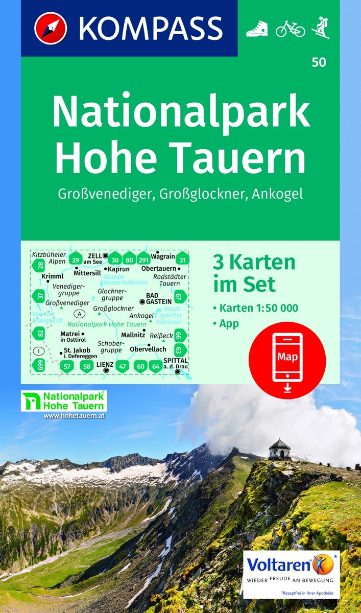
- Grossvenediger - Hohe Tauern NP - Matrei - Felber - Tauern - Oberpinzgau K+F Outdoor Map 12
- Grossvenediger - Hohe Tauern NP - Matrei - Felber - Tauern - Oberpinzgau area of the Tyrol at 1:35,000 on a GPS compatible, double-sided map from Kümmerly+Frey printed on sturdy, waterproof and tear-resistant synthetic paper; contoured, with hiking, cycling and ski routes, accommodation facilities, locations for other recreational activities,... Lire la suite