
Stanfords
United Kingdom
- Cap de Creus Park Natural Editorial Alpina
- Cap de Creus Natural Park on the Costa Brava at 1:25,000 on a contoured and GPS compatible map from Editorial Alpina, plus a booklet which includes English language descriptions several recommended hiking trails, accommodation details, etc.Topography is presented by contours at10m intervals with relief shading and plenty of spot heights, plus... Lire la suite

Stanfords
United Kingdom
- Serra de Montsant Editorial Piolet Hiking Map
- Serra de Montsant area at 1:20,000 in a series of GPS compatible maps from Editorial Piolet with cartography based on Spain’s civilian topographic survey overprinted with hiking routes and other tourist information. The overprint includes 11 recommended itinerates in the park, plus eight special walks exploring local flora.Hiking maps in the... Lire la suite

Stanfords
United Kingdom
- Ordesa - Monte Perdido National Park Editorial Alpina 2-Map Set
- Ordesa and Monte Perdido National Park at 1:25,000 in a set of two GPS compatible recreational maps in an extensive and very popular series from Editorial Alpina, providing more detailed coverage of this popular hiking area.Contours are at 10m intervals, with relief shading and vegetation colouring. An overprint highlights waymarked PR hiking... Lire la suite

Stanfords
United Kingdom
- Collsacabra - Vall de Sau Editorial Alpina
- This Alpina Hiking map and guidebook of Collsacabra at 1:25.000. Includes master contours at 50m, shady relief and is compatible with GPS.The guidebook includes hikes, potholing, gully descent, climbing, mountain biking and all the facts of interest. Lire la suite

Stanfords
United Kingdom
- Sant Llorenc del Munt i l`Obac Editorial Alpina
- Sant Llorenç del Munt i l`Obac area at 1:25,000 in an extensive and very popular series of walking maps from Editorial Alpina. Contours are at 10m intervals, enhanced by relief shading and vegetation colouring. The map has UTM grid and 1’ margin ticks. In addition to footpaths, the overprint shows various types of accommodation (hotels,... Lire la suite

Stanfords
United Kingdom
- Costa Brava Central: les Gavarres
- Topographic survey of Catalonia at 1:25,000 from the Institut Cartogràfic i Geològic de Catalunya, an attractive alternative to Spain’s national topographic survey at this scale, offering a much larger area per sheet with extensive tourist information and vivid presentation of vegetation and land use.These large, detailed maps have contours at... Lire la suite

Stanfords
United Kingdom
- GR 11: La Senda
- GR11 long-distance footpaths along the Spanish side of the Pyrenees in a French language guide from Rando Editions, with extracts from the publisher’s topographic series at 1:50,000 highlighting the route and mountain refuges.The guide divides the route into 40 sections and covers it from the Mediterranean, starting at Cap de Creus on the Costa... Lire la suite

Stanfords
United Kingdom
- Pyrenees East - Barcelona - Costa Brava 500K CNIG Regional Map No. 4
- The eastern part of Spanish Pyrenees, with coverage extending along the Mediterranean coast beyond Barcelona to Tarragona, at 1:500,000 in a series of regional road maps from the country’s civilian survey organization IGN-CNIG (Instituto Geográfico Nacional - Centro Nacional de Información Geográfica), vividly presenting the topography by... Lire la suite

Stanfords
United Kingdom
- Terres de l`Ebre
- Terres de l`Ebre map at 1:100,000 in the topographic survey of Catalonia published by the Institut Cartogràfic de Catalunya, with very detailed coverage of a large area and an excellent representation of the region’s topography. Maps in this series have relief presented by contours at 40m intervals, enhanced by additional hill-shading and spot... Lire la suite
Stanfords
United Kingdom
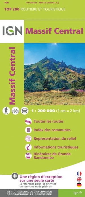
- Massif Central IGN Top200 204
- Pyrénées Ouest map from the IGN at 1:200,000, with excellent presentation of the terrain through contours and vivid relief shading, plenty of names of topographic features, long-distance GR hiking routes, places of interest, etc. The map is designed to provide convenient coverage of the western and central part of the Pyrenees, extending across... Lire la suite
Stanfords
United Kingdom
- Pla de Lleida
- Pla de Lleida map at 1:100,000 in the topographic survey of Catalonia published by the Institut Cartogràfic de Catalunya, with very detailed coverage of a large area and an excellent representation of the region’s topography. Maps in this series have relief presented by contours at 40m intervals, enhanced by additional hill-shading and spot... Lire la suite

Stanfords
United Kingdom
- 3220 Cabo de la Nao to the French border Chart Atlas - 2019 Edition
- A new chart atlas covering Mediterranean Spain from Cabo de la Nao to the French border. This appealing cruising area stretches from Jávea and Dénia in the south, past the low-lying Ebro delta to the charming towns along the rugged Costa Brava in the north. It includes the cities of Valencia, Tarragona and Barcelona. The 23 sheets in the atlas... Lire la suite
Stanfords
United Kingdom
- Costa Brava - l’Emporda 1 - PN Aiguamolls - l`Escala Editorial Piolet
- Costa Brava: L’Empordà, map No.1 covering PN Aiguamolls - l`Escala area, at 1:25,000 in a series of GPS compatible maps from Editorial Piolet with cartography based on Spain’s civilian topographic survey overprinted with hiking routes and other tourist information. The map covers the southern part of the publishers’ coverage of the L’Empordà... Lire la suite
Stanfords
United Kingdom
- Pirineu Occidental
- Pirineu Occidental, the western part of the Catalan Pyrenees, at 1:100,000 in the topographic survey of Catalonia published by the Institut Cartogràfic de Catalunya, with very detailed coverage of a large area and an excellent representation of the region’s topography.Maps in this series have relief presented by contours at 40m intervals,... Lire la suite
Stanfords
United Kingdom
- Costa Brava - l’Emporda 2 - l`Escala - Pals Editorial Piolet
- Costa Brava: L’Empordà, map No.2 covering l`Escala – Pals area, at 1:25,000 in a series of GPS compatible maps from Editorial Piolet with cartography based on Spain’s civilian topographic survey overprinted with hiking routes and other tourist information. The map covers the central part of the publishers’ coverage of the L’Empordà area of... Lire la suite