Stanfords
United Kingdom
Stanfords
United Kingdom
2017
Stanfords
United Kingdom
Stanfords
United Kingdom
Stanfords
United Kingdom
Stanfords
United Kingdom
Stanfords
United Kingdom
Stanfords
United Kingdom
Stanfords
United Kingdom
Stanfords
United Kingdom
Stanfords
United Kingdom
Stanfords
United Kingdom
Stanfords
United Kingdom
» Click to open
The Book Depository
United Kingdom
  • Everest: Trekking Map & Complete Guide
  • Everest Trekking Guide from Milestone Books with very detailed and informative stage-by-stage descriptions of main Mt Everest trek from Lukla and Namche Bazaar to the Everest Base Camp, plus the route to the Gokyo Lakes. Each route is presented on coloured map extracts from the accompanying separate fold-out map, includes a route profile, and... Lire la suite
» Click to close
Bol.com
Netherlands
» Click to open
Bol.com
Belgium
  • Khumbu Himal Trekking-Karte 1 : 50 000
  • Khumbu Himal area at 1:50,000 on a waterproof and tear-resistant map in the famous Schneider series, revised in 2013 to include extensive tourist information for trekking routes to the Mount Everest Base Camp, Gokyo Lakes, Island Peak, Makalu Base Camp, etc. Coverage extends north from Namche Bazaar and along the Tibetan border from the Lunag... Lire la suite
» Click to close
Stanfords
United Kingdom
» Click to open
Bol.com
Netherlands
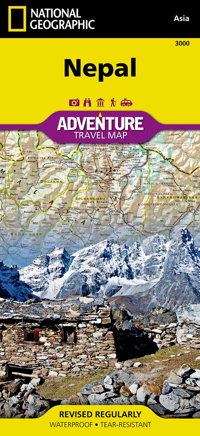
  • Nepal
  • Waterproof Tear-Resistant Travel MapNational Geographic's Nepal AdventureMap is the most authoritative map for touring the country. Each waterproof and tear-resistant map provides travelers with the perfect combination of detail and perspective, highlighting points of interest for those venturing outside city centers.This durable, folded... Lire la suite
Bol.com
Belgium
  • Nepal
  • Waterproof Tear-Resistant Travel MapNational Geographic's Nepal AdventureMap is the most authoritative map for touring the country. Each waterproof and tear-resistant map provides travelers with the perfect combination of detail and perspective, highlighting points of interest for those venturing outside city centers.This durable, folded... Lire la suite
De Zwerver
Netherlands
  • Wegenkaart - landkaart 3000 Adventure Map Nepal | National Geographic
  • Nepal Adventure Map from the National Geographic presenting the country at 1:625,000 on light, waterproof and tear-resistant synthetic paper, with a large panel showing the main sights and facilities in the Kathmandu – Patan area.The map is double-sided, dividing the country east/west with a good overlap between the sides. Topography is... Lire la suite
» Click to close