Stanfords
United Kingdom
2015
United Kingdom
2015
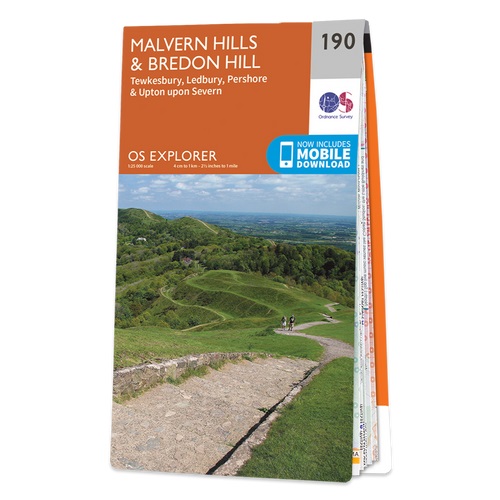
- Malvern Hills & Bredon Hill - Tewkesbury, Ledbury, Pershore & Upton upon Severn OS Explorer Map 190 (paper)
- Malvern Hills, Bredon Hill, Tewkesbury, Ledbury, Pershore and Upton upon Severn area on a detailed topographic and GPS compatible map No. 190, paper version, from the Ordnance Survey’s 1:25,000 Explorer series. MOBILE DOWNLOADS: this title and all the other OS Explorer maps include a code for downloading after purchase the digital version onto... Lire la suite
- Also available from:
- The Book Depository, United Kingdom
- De Zwerver, Netherlands

De Zwerver
Netherlands
2015
Netherlands
2015