
Nevada
Description
Nevada is a sparsely populated state in the West of the country.
The Tahoe Rim Trail, 165 miles, is shared with California in the West. The American Discovery Trail crosses Nevada.
The wilderness and emptiness of Nevada – high mountain ranges, desert brushlands, canyons - is best enjoyed on the thousands of miles of trails in the Toyabe National Forest, Humboldt National Forest and Great Basin National Park.
Carte

Sentiers de cette état
Liens
Données
Rapports
Guides et cartes
Hébergement
Organisations
Voyagistes
GPS
Autre
Livres

Stanfords
United Kingdom
United Kingdom
- Waldviertel North - Gmund - Heidenreichstein - Waidhofen & Raabs a.d.T. - Trebon F&B WK075
- Waldviertel North - Gmünd - Heidenreichstein - Waidhofen a.d.T. - Raabs a.d.T. – Trebon area of eastern Austria presented at 1:50,000 in a series of contoured and GPS compatible outdoor leisure map from Freytag & Berndt with hiking and cycling routes, mountain huts, campsites and youth hostels, local bus stops, plus other tourist information.To... Lire la suite

Stanfords
United Kingdom
United Kingdom
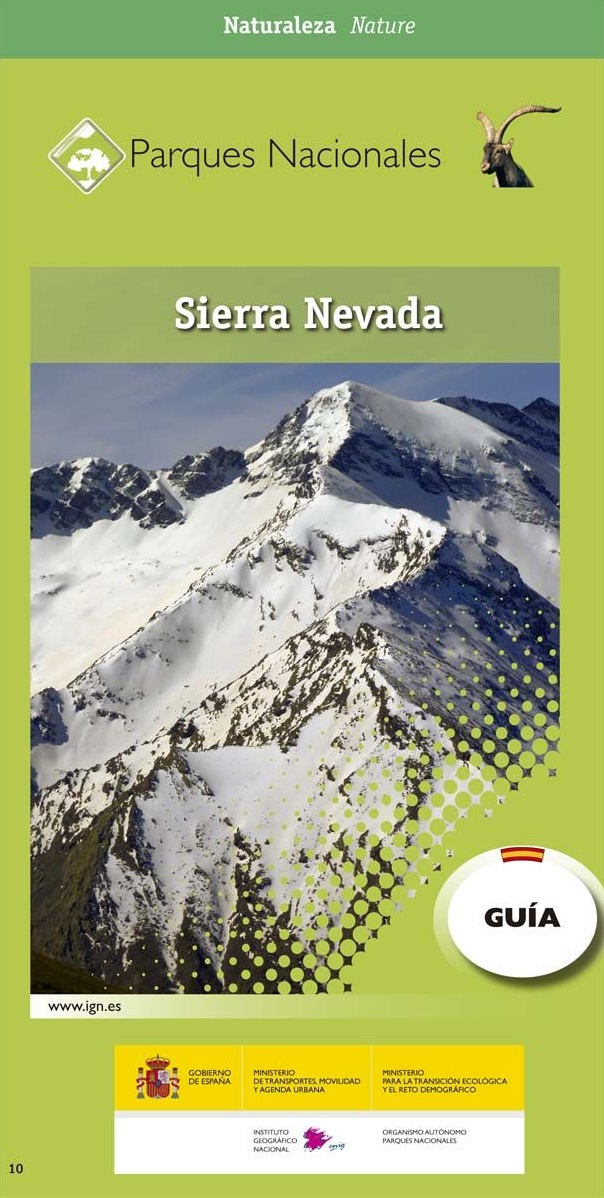
- Sierra Nevada Mountain Guidebook
- Sierra Nevada Mountain Guidebook in English from Editorial Penibetica, publishers of a wide range of detailed, contoured walking maps of popular hiking areas of Andalucía. Colour extracts from their maps, overprinted with 40 routes, accompany the text.The guide is divided into colour-coded sections covering walks from different locations such... Lire la suite

Stanfords
United Kingdom
United Kingdom
- DK Eyewitness `Back Roads` California
- Take to the open road with Back Roads California and discover 24 leisurely drives through the state`s idyllic hamlets, gorgeous beaches and sprawling vineyards. Tour the Pacific Coast Highway, explore the vineyards of the Napa Valley, or drive through Yosemite National Park. Packed with insider tips and information, this easy-to-use guide... Lire la suite

Stanfords
United Kingdom
United Kingdom
- DK Eyewitness USA
- Spectacular scenery, vibrant cities and captivating culture - welcome to the USA.Whether you want to hike in breathtaking Yosemite National Park, take a road trip from coast to coast or sample southern soul food in the Deep South, your DK Eyewitness travel guide makes sure you experience all that the USA has to offer.Dramatic and diverse, the... Lire la suite

Stanfords
United Kingdom
United Kingdom
- Lake Mead National Recreation Area NV/AZ
- Map No. 204, Lake Mead National Recreation Area on the borderof Arizona and Nevada, at 1:166,800 in an extensive series of GPS compatible, contoured hiking maps of USA’s national and state parks or forests and other popular recreational areas. Cartography based on the national topographic survey, with additional tourist information.The maps,... Lire la suite


The Book Depository
United Kingdom
United Kingdom
- Tahoe Rim Trail
- The Official Guide for Hikers, Mountain Bikers, and Equestrians Lire la suite

The Book Depository
United Kingdom
United Kingdom
- Backpacking Nevada
- From Slickrock Canyons to Granite Summits Lire la suite


Stanfords
United Kingdom
United Kingdom
- Alpujarras Tour & Trail Super-Durable Map
- For the best adventures, use the best map. The Moorish white villages of the Alpujarras are well known to day trippers from the Costa del Sol. For walkers this is an idyllic region with stone-laid donkey trails linking the tipico villages and stretching up the southern slopes of the Sierra Nevada to Mulhacen; at 3,483 metres the highest... Lire la suite
- Also available from:
- The Book Depository, United Kingdom
- De Zwerver, Netherlands


The Book Depository
United Kingdom
United Kingdom
- Five-Star Trails: Lake Tahoe
- 40 Unforgettable Hikes in the Central Sierra Nevada Lire la suite


The Book Depository
United Kingdom
United Kingdom
- Sierra North
- Backcountry Trips in California's Sierra Nevada Lire la suite

The Book Depository
United Kingdom
United Kingdom
- Sierra South
- Backcountry Trips in California's Sierra Nevada Lire la suite
Cartes
Stanfords
United Kingdom
United Kingdom
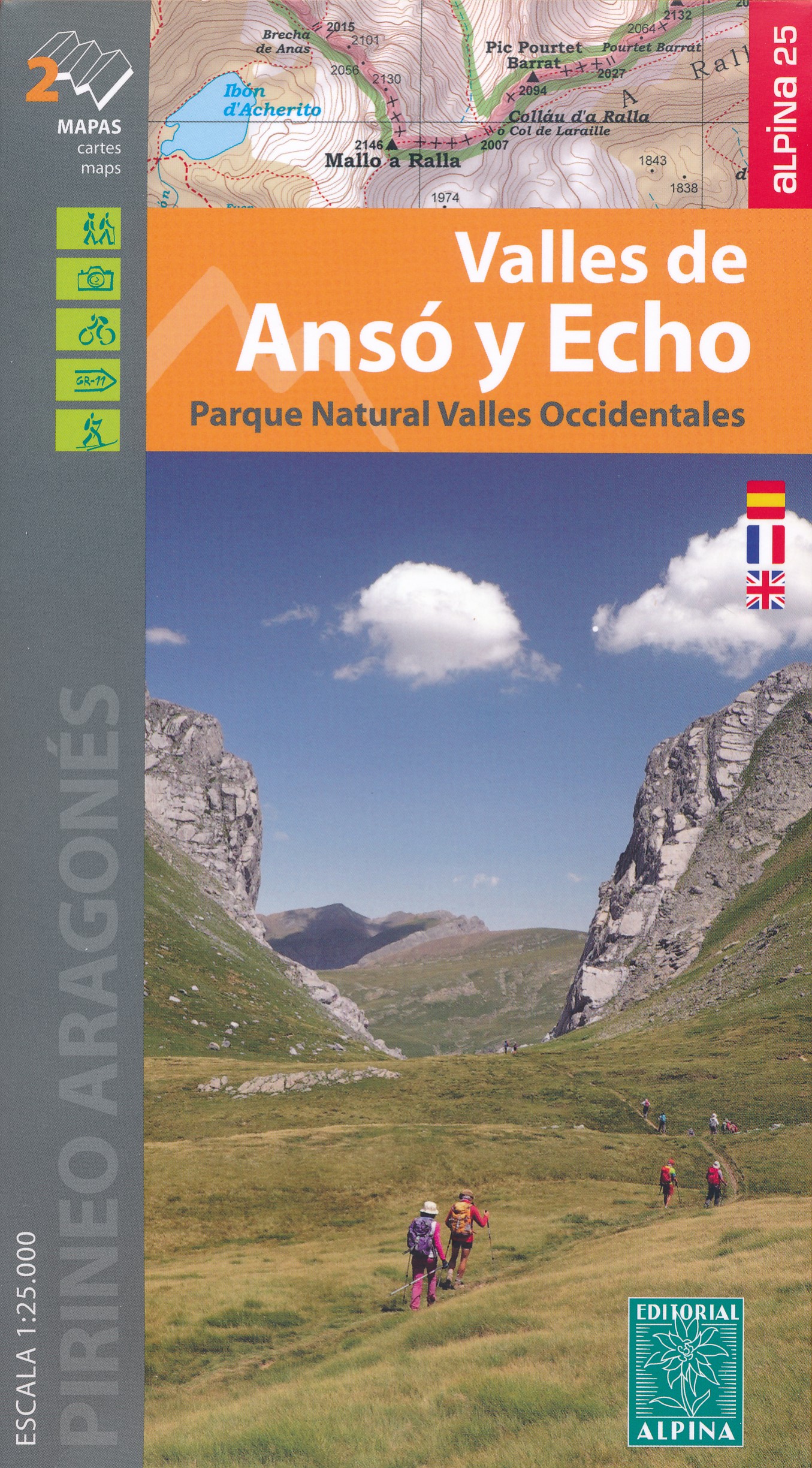
- Bachimala - Valles de Chistau y Bielsa Editorial Alpina
- Bachimala area of the High Pyrenees in Spain on a contoured and GPS compatible map at 1:25,000 from Editorial Alpina, with a booklet including English language descriptions of recommended walks, extensive accommodation list, etc. With the peak of Gran Bachimala towards the north-eastern corner of the map, coverage extends west to Bielsa and... Lire la suite

Stanfords
United Kingdom
United Kingdom
- Nevada Road & Recreation Atlas
- Nevada at 1:280,000 in a series of excellent, detailed, GPS compatible state atlases from Benchmark Maps with extensive information on diverse recreational opportunities and facilities, covering The Rockies and the western states of the United States. Each atlas consists of three main sections:*Landscape:* with detailed mapping at scales around... Lire la suite

Stanfords
United Kingdom
United Kingdom
- Las Vegas Borch
- Very clear, indexed tourist street plan of the city on durable, laminated paper, with additional maps of the surrounding area and the Grand Canyon. The main map includes the Strip, Interstate 15 to the west, Downtown, the international airport, and much of the Winchester district east of the Strip. Detail includes one-way streets, casinos,... Lire la suite

Stanfords
United Kingdom
United Kingdom
- Sierra Nevada - Las Alpujarras CNIG Map
- Sierra Nevada Mountain, southern Spain’s most popular national park, on GPS compatible map at 1:100,000 from IGN/CNIG with cartography based on their civilian topographic survey of Spain, plus a panorama drawing of the mountains as seen from the coast. The map covers a large area, extending from Granada in the west to beyond Gérgal in the east,... Lire la suite

The Book Depository
United Kingdom
United Kingdom
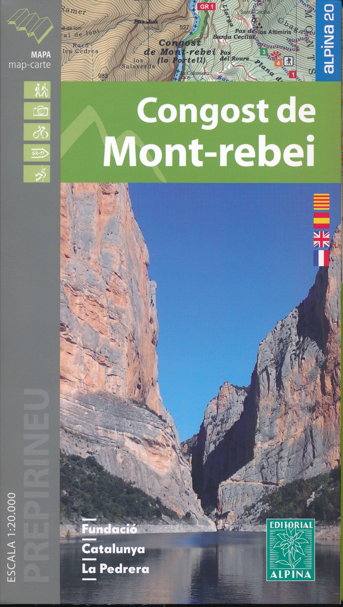
- Mont-rebei congost de
- Congost de Mont-rebei in an extensive and very popular series of walking maps from Editorial Alpina covering the Pyrenees, Catalonia and other selected hiking areas in Spain, including Picos de Europa, Sierra Nevada and parts of Andalucía, Majorca, etc. Scales vary from 1:50,000 to 1:10,000, with the majority of the titles at 1:25,000. The... Lire la suite
- Also available from:
- De Zwerver, Netherlands
De Zwerver
Netherlands
Netherlands
- Wandelkaart 33 Congost de Mont-rebei | Editorial Alpina
- Congost de Mont-rebei in an extensive and very popular series of walking maps from Editorial Alpina covering the Pyrenees, Catalonia and other selected hiking areas in Spain, including Picos de Europa, Sierra Nevada and parts of Andalucía, Majorca, etc. Scales vary from 1:50,000 to 1:10,000, with the majority of the titles at 1:25,000. The... Lire la suite

Stanfords
United Kingdom
United Kingdom
- Sierra Nevada - La Alpujarra Editorial Alpina
- Spain’s Sierra Nevada on a contoured and GPS-compatible map at 1:40,000 from Editorial Alpina highlighting local and long-distance hiking routes, mountain refuges and other accommodation, etc. Accompanying bilingual booklet provides English language descriptions of several recommended walking trails and ascents, etc, plus an extensive list of... Lire la suite
- Also available from:
- The Book Depository, United Kingdom

The Book Depository
United Kingdom
United Kingdom

The Book Depository
United Kingdom
United Kingdom
- Also available from:
- De Zwerver, Netherlands

The Book Depository
United Kingdom
United Kingdom
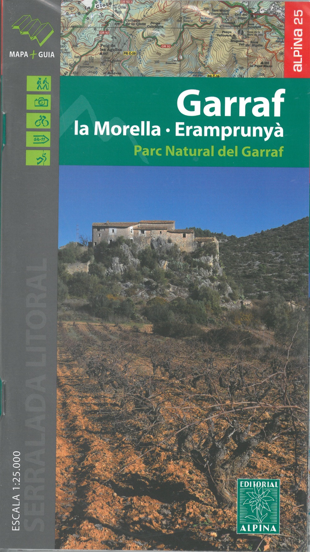
- Garraf - La Morella - Eramprunya - Parc Natural del Garraf
- Zeer gedetailleerde wandelkaart van dit mooie natuurgebied in Noord Oost Spanje. Met ingetekende wandelroutes en andere informatie. Spaans en deel in het engels, maar uitstekende kaart. Met symbolen voor campings, hutten. Lire la suite
- Also available from:
- De Zwerver, Netherlands
De Zwerver
Netherlands
Netherlands
- Wandelkaart 62 Parc Naturel del Garraf | Editorial Alpina
- Zeer gedetailleerde wandelkaart van dit mooie natuurgebied in Noord Oost Spanje. Met ingetekende wandelroutes en andere informatie. Spaans en deel in het engels, maar uitstekende kaart. Met symbolen voor campings, hutten. Lire la suite

The Book Depository
United Kingdom
United Kingdom
- Also available from:
- De Zwerver, Netherlands

- Also available from:
- De Zwerver, Netherlands

The Book Depository
United Kingdom
United Kingdom
- Also available from:
- De Zwerver, Netherlands

The Book Depository
United Kingdom
United Kingdom
- Also available from:
- De Zwerver, Netherlands

The Book Depository
United Kingdom
United Kingdom
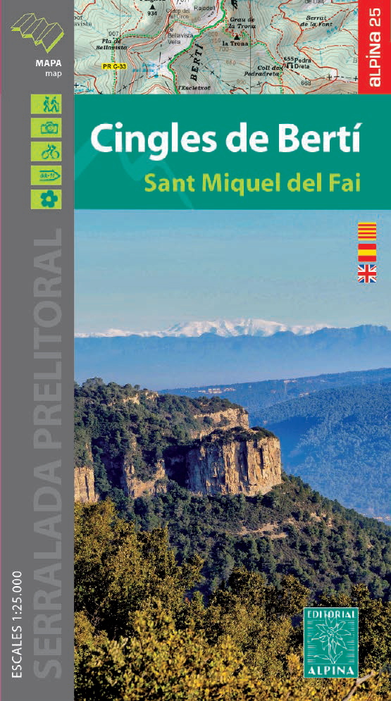
- Cingles del Berti - Sant Miquel des Fai
- Cingles de Berti area at 1:25,000 in an extensive and very popular series of walking maps from Editorial Alpina. Contours are at 10m intervals, enhanced by relief shading and vegetation colouring. The map has UTM grid and 1’ margin ticks. In addition to footpaths, the overprint shows various types of accommodation (hotels, campsites, etc.),... Lire la suite
- Also available from:
- De Zwerver, Netherlands
De Zwerver
Netherlands
Netherlands
- Wandelkaart 54 Cingles de Berti | Editorial Alpina
- Cingles de Berti area at 1:25,000 in an extensive and very popular series of walking maps from Editorial Alpina. Contours are at 10m intervals, enhanced by relief shading and vegetation colouring. The map has UTM grid and 1’ margin ticks. In addition to footpaths, the overprint shows various types of accommodation (hotels, campsites, etc.),... Lire la suite

The Book Depository
United Kingdom
United Kingdom
- Delta de l'Ebre PN - Serra de Montsia
- The Delta of the Ebro – Serra de Montsià in an extensive and very popular series of walking maps from Editorial Alpina covering the Pyrenees, Catalonia and other selected hiking areas in Spain, including Picos de Europa, Sierra Nevada and parts of Andalucía, Majorca, etc. Scales vary from 1:50,000 to 1:10,000, with the majority of the titles... Lire la suite
De Zwerver
Netherlands
2021
Netherlands
2021