Stanley Trail
Description
- Name Stanley Trail
- Distance de sentier 51 km, 32 milles
- Durée en jours 3 jours
- Début de sentier Stanley/Thompson
- Fin de sentier Rosengart
- Classement Traildino EW, Marche facile, sentier de la nature
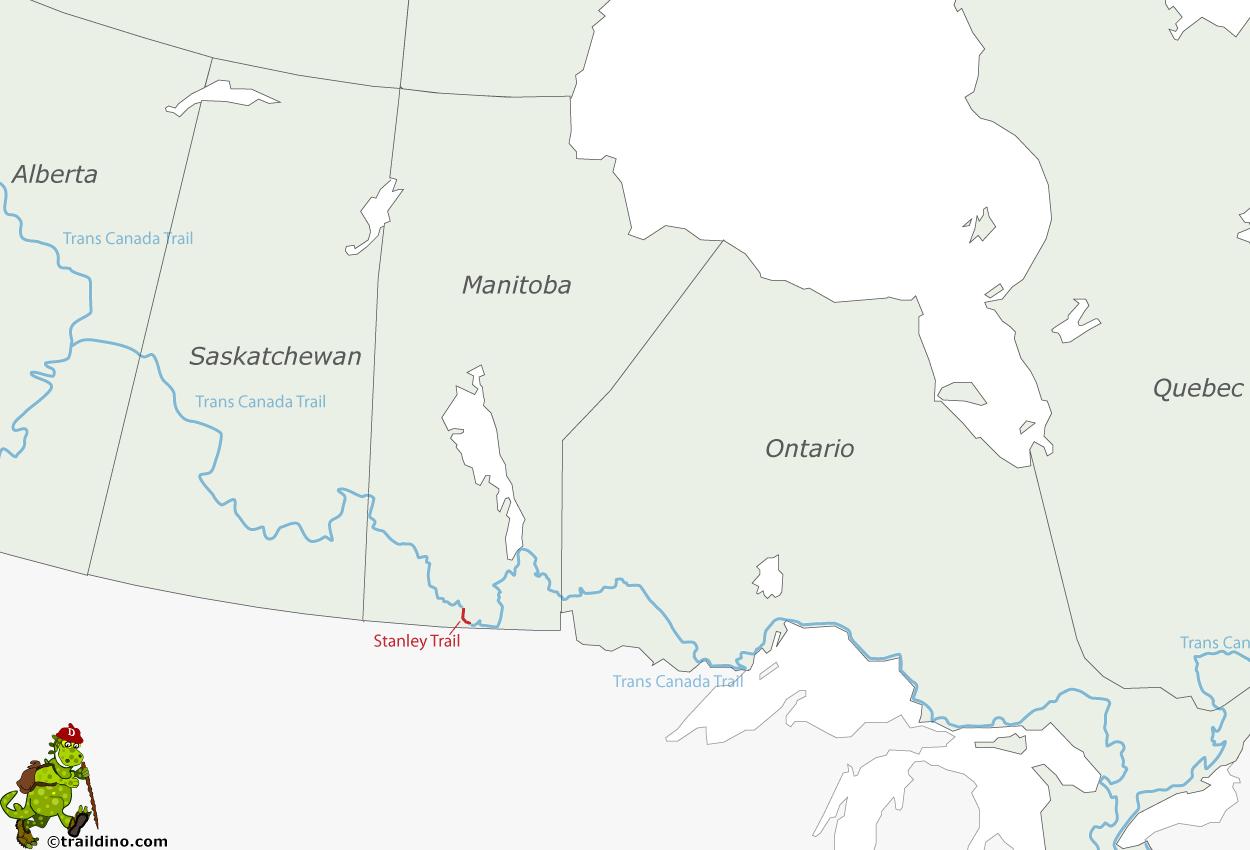
RM Stanley/Thompson boundary - Rosengart, 51 km
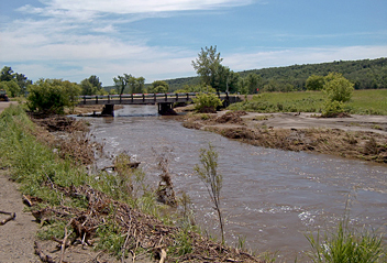
A Manitoba trail that winds its way through the diverse landscape of the Pembina escarpment. So, this is not primarily prairy country, but more: cliffs, nature, creeks and bushes. The area is hilly in character. The villages offer accommodation and campsites. The trail is part of the Trans Canada Trail.


