
Les Diablerets
Description
- Altitude 3210.00 m
Liens
Données
Rapports
Guides et cartes
Hébergement
Organisations
Voyagistes
GPS
Autre
Livres

- Also available from:
- De Zwerver, Netherlands

Stanfords
United Kingdom
2017
United Kingdom
2017
- The Swiss Alpine Pass Route - via Alpina Route 1: Trekking East to West Across Switzerland
- This guidebook presents the stunning Alpine Pass Route, now fully waymarked as Via Alpina 1. The 360km trail traverses Switzerland from east to west, from Sargans near the Liechtenstein border to Montreux on Lac Leman (Lake Geneva). Crossing sixteen Alpine passes, it showcases some of the country`s most breathtaking mountain landscapes,... Lire la suite
- Also available from:
- Bol.com, Netherlands
- Bol.com, Belgium

Bol.com
Netherlands
2017
Netherlands
2017
- The Swiss alpine pass route - Via Alpina route 1
- This guidebook presents the stunning Alpine Pass Route, now fully waymarked as Via Alpina 1. The 360km trail traverses Switzerland from east to west, from Sargans near the Liechtenstein border to Montreux on Lac Léman (Lake Geneva). Crossing sixteen Alpine passes, it showcases some of the country's most breathtaking mountain landscapes,... Lire la suite
Bol.com
Belgium
2017
Belgium
2017
- The Swiss alpine pass route - Via Alpina route 1
- This guidebook presents the stunning Alpine Pass Route, now fully waymarked as Via Alpina 1. The 360km trail traverses Switzerland from east to west, from Sargans near the Liechtenstein border to Montreux on Lac Léman (Lake Geneva). Crossing sixteen Alpine passes, it showcases some of the country's most breathtaking mountain landscapes,... Lire la suite
Bol.com
Netherlands
2006
Netherlands
2006
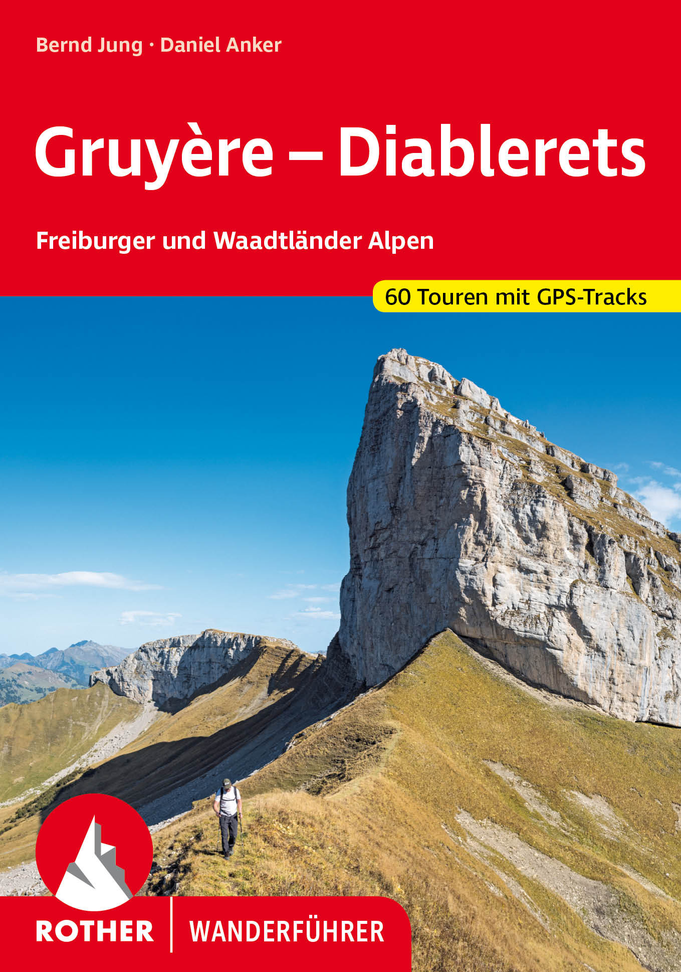
- Gruyère - Diablerets
- Ein Fest für Auge und Gaumen - Wandern in den Freiburger und Waadtländer Alpen, der Herkunftsgegend des berühmten Greyerzerkäse, ist ausgesprochen attraktiv. Wunderbar zwischen Berner Oberland, Wallis und Genfer See gelegen bieten sie für jeden Geschmack etwas: Grüne Almwiesen vor grauen Kalkbergen, schwarz-weiße Kühe und blaue Seen ebenso wie... Lire la suite
- Also available from:
- Bol.com, Belgium
- De Zwerver, Netherlands
Bol.com
Belgium
2006
Belgium
2006
- Gruyère - Diablerets
- Ein Fest für Auge und Gaumen - Wandern in den Freiburger und Waadtländer Alpen, der Herkunftsgegend des berühmten Greyerzerkäse, ist ausgesprochen attraktiv. Wunderbar zwischen Berner Oberland, Wallis und Genfer See gelegen bieten sie für jeden Geschmack etwas: Grüne Almwiesen vor grauen Kalkbergen, schwarz-weiße Kühe und blaue Seen ebenso wie... Lire la suite
De Zwerver
Netherlands
2022
Netherlands
2022
- Wandelgids Gruyère - Diablerets | Rother Bergverlag
- Uitstekende wandelgids met een groot aantal dagtochten in dal en hooggebergte. Met praktische informatie en beperkt kaartmateriaal! Wandelingen in verschillende zwaarte weergegeven in rood/blauw/zwart. Dort wandern, wo der berühmte Gruyère-Käse hergestellt wird – auf grünen Almen unter weißen Kalkzähnen. Und dann weitergehen auf teuflisch... Lire la suite
Cartes

Stanfords
United Kingdom
United Kingdom
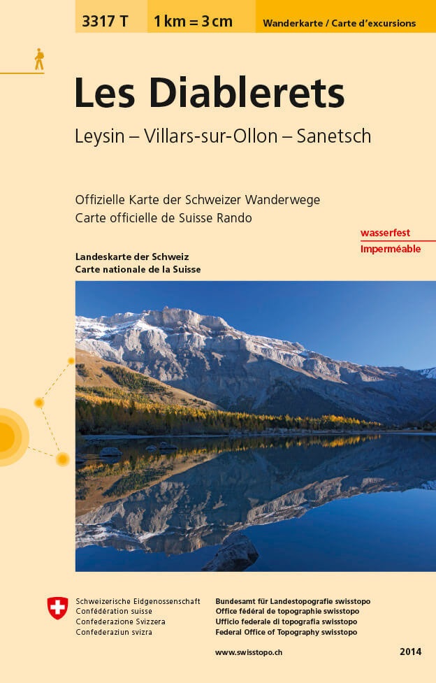
- Les Diablerets - Leysin - Villars-sur-Ollon - Sanetsch Swisstopo Hiking 3317T
- Les Diablerets area at 1:33,333 on light, waterproof and tear-resistant map No. 3317T published by Swisstopo in cooperation with the Swiss Hiking Federation. Cartography is the same as in Swisstopo’s 50K hiking maps, simply enlarged to 1:33,333 for extra clarity but without additional information. The title includes a table with timings and... Lire la suite
- Also available from:
- De Zwerver, Netherlands
De Zwerver
Netherlands
Netherlands
- Wandelkaart - Topografische kaart 3317T Les Diablerets | Swisstopo
- Een nieuwe serie van de Zwitserse topografische dienst: eindelijk goede wandelkaarten met ingetekende wandelroutes op scheur- en watervast papier. Vooralsnog zijn ze uitgebracht van de populaire wandelgebieden en niet landelijk dekkend (zie overzicht) Op een gedetailleerde schaal van 1:33.333 met als ondergrond de onovertroffen topografische... Lire la suite

Stanfords
United Kingdom
United Kingdom
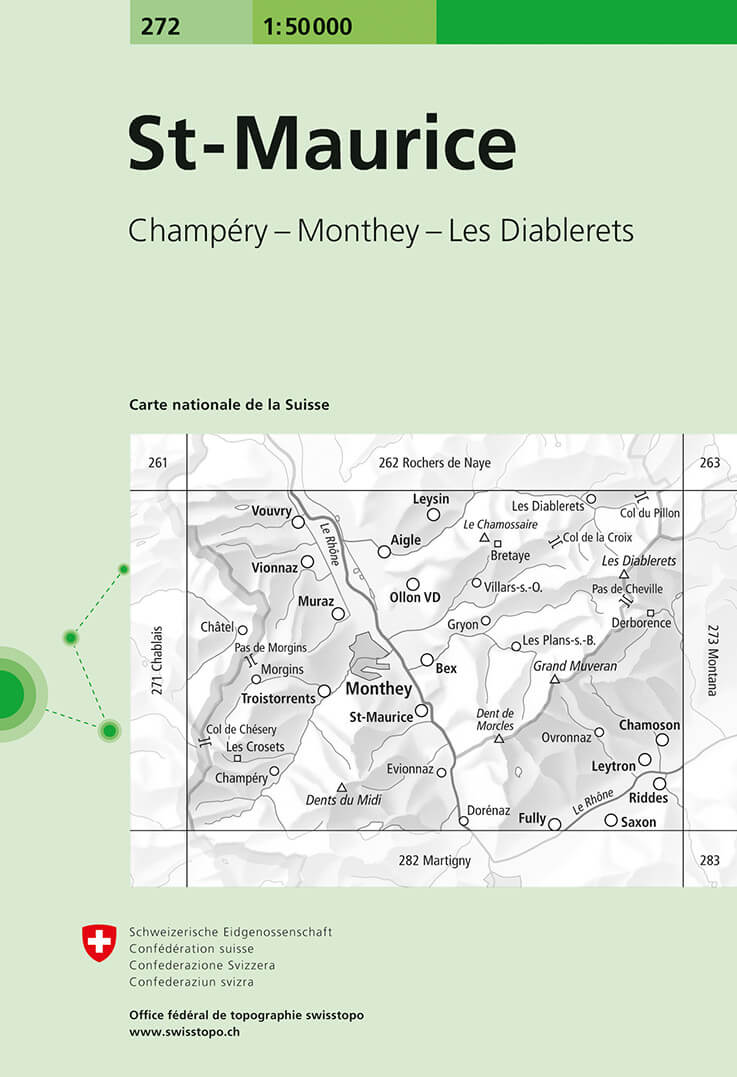
- St-Maurice Swisstopo 272
- St-Maurice, map No. 272, in the standard topographic survey of Switzerland at 1:50,000 from Swisstopo, i.e. without the special overprint highlighting walking trails, local bus stops, etc, presented in Swisstopo’s hiking editions of the 50K survey. Coverage extends from the resort of Les Diablerets and Col du Pillon in the north-east to Dents... Lire la suite
- Also available from:
- De Zwerver, Netherlands
De Zwerver
Netherlands
Netherlands
- Wandelkaart - Topografische kaart 272 St-Maurice | Swisstopo
- St-Maurice, map No. 272, in the standard topographic survey of Switzerland at 1:50,000 from Swisstopo, i.e. without the special overprint highlighting walking trails, local bus stops, etc, presented in Swisstopo Lire la suite

Stanfords
United Kingdom
United Kingdom
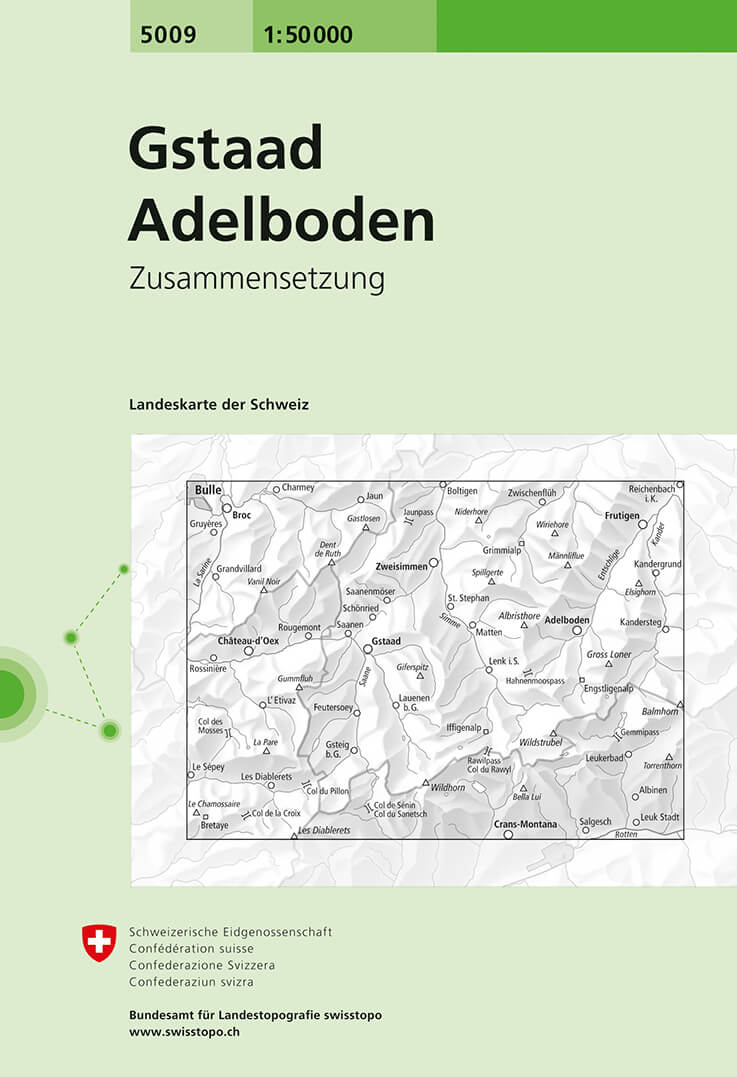
- Gstaad - Adelboden Swisstopo 5009
- Gstaad - Adelboden area, map No. 5009, in the standard topographic survey of Switzerland at 1:50,000 from Swisstopo, i.e. without the special overprint highlighting walking trails, local bus stops, etc, presented in Swisstopo’s hiking editions of the 50K survey. Coverage extends from Bulle in the north-western corner of the map to Leuk in the... Lire la suite
- Also available from:
- De Zwerver, Netherlands
De Zwerver
Netherlands
Netherlands
- Wandelkaart - Topografische kaart 5009 Gstaad - Adelboden | Swisstopo
- Gstaad - Adelboden area, map No. 5009, in the standard topographic survey of Switzerland at 1:50,000 from Swisstopo, i.e. without the special overprint highlighting walking trails, local bus stops, etc, presented in Swisstopo Lire la suite

Stanfords
United Kingdom
United Kingdom
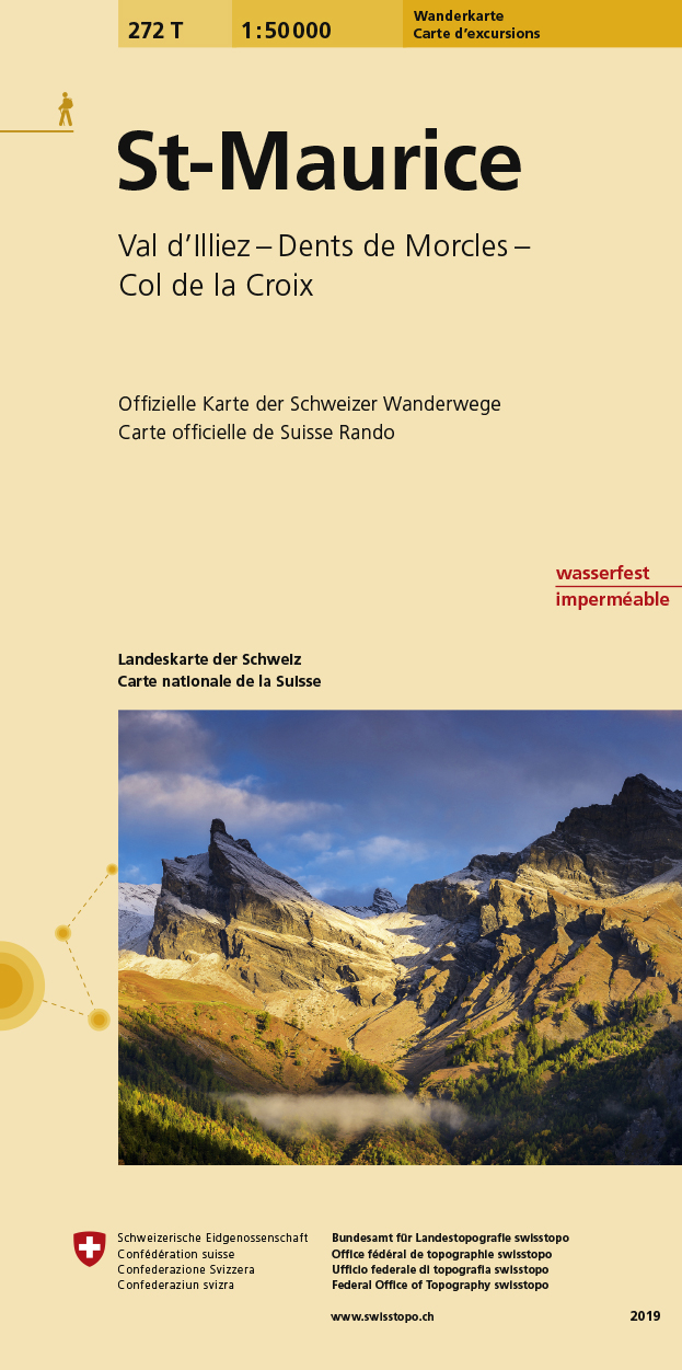
- St-Maurice Swisstopo Hiking 272T
- St-Maurice area, map No. 272T, at 1:50,000 in a special hiking edition of the country’s topographic survey, published by Swisstopo in cooperation with the Swiss Hiking Federation. Coverage extends from the resort of Les Diablerets and Col du Pillon in the north-east to Dents du Midi in the south.Cartography, identical to the standard version of... Lire la suite
- Also available from:
- De Zwerver, Netherlands
De Zwerver
Netherlands
Netherlands
- Wandelkaart 272T St. Maurice | Swisstopo
- St-Maurice area, map No. 272T, at 1:50,000 in a special hiking edition of the country Lire la suite

Stanfords
United Kingdom
United Kingdom
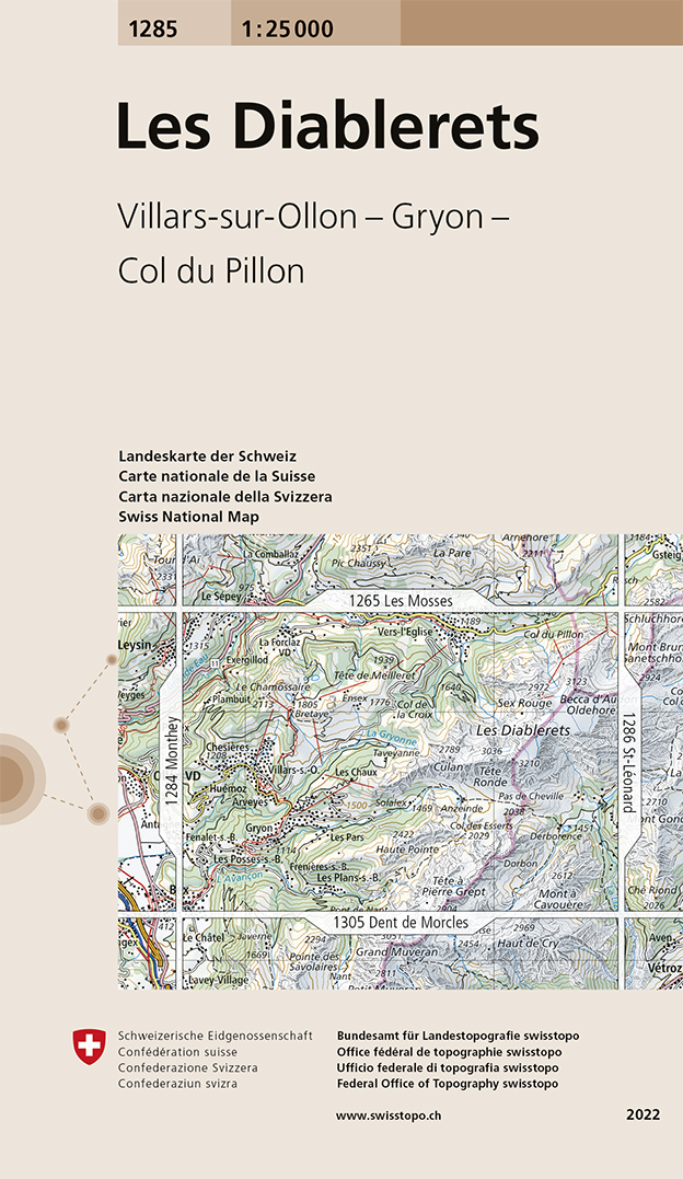
- Les Diablerets Swisstopo 1285
- Map No. 1285, Les Diablerets, in the topographic survey of Switzerland at 1:25,000 from Swisstopo, with coverage extending from Leysin, the resort of Les Diablerets and Col du Pillon in the north to Bex in the south-western corner of the map.Swiss topographic survey at 1:25,000 covers the whole country on 247 small format sheets, with special... Lire la suite
- Also available from:
- De Zwerver, Netherlands
De Zwerver
Netherlands
Netherlands
- Wandelkaart - Topografische kaart 1285 Les Diablerets | Swisstopo
- Map No. 1285, Les Diablerets, in the topographic survey of Switzerland at 1:25,000 from Swisstopo, with coverage extending from Leysin, the resort of Les Diablerets and Col du Pillon in the north to Bex in the south-western corner of the map.Swiss topographic survey at 1:25,000 covers the whole country on 247 small format sheets, with special... Lire la suite