
Oberpfälzer Wald
Description
Low mountain area in Bayern. This has nothing to do with the Pfalz in the West of Germany, bordering on France. The Oberpfälzer Wald borders on the Czech Republic, the Böhmerwald, Bohemian Forest.
Sentiers de cette région
Liens
Données
Rapports
Guides et cartes
Hébergement
Organisations
Voyagistes
GPS
Autre
Livres
De Zwerver
Netherlands
2021
Netherlands
2021
De Zwerver
Netherlands
2023
Netherlands
2023
De Zwerver
Netherlands
2021
Netherlands
2021
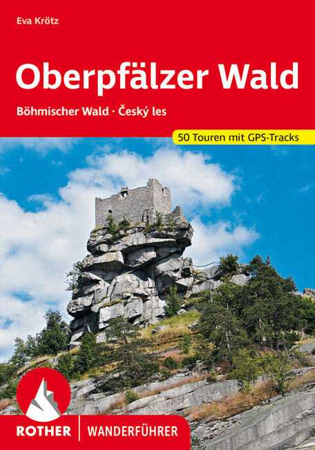
- Wandelgids Oberpfälzer Wald | Rother Bergverlag
- Uitstekende wandelgids met een groot aantal dagtochten in dal en hooggebergte. Met praktische informatie en beperkt kaartmateriaal! Wandelingen in verschillende zwaarte weergegeven in rood/blauw/zwart 160 Seiten mit 111 Farbabbildungen 50 Höhenprofile, 50 Wanderkärtchen im Maßstab 1:50.000, eine Übersichtskarte Die Oberpfalz, ein Stück... Lire la suite
De Zwerver
Netherlands
2019
Netherlands
2019
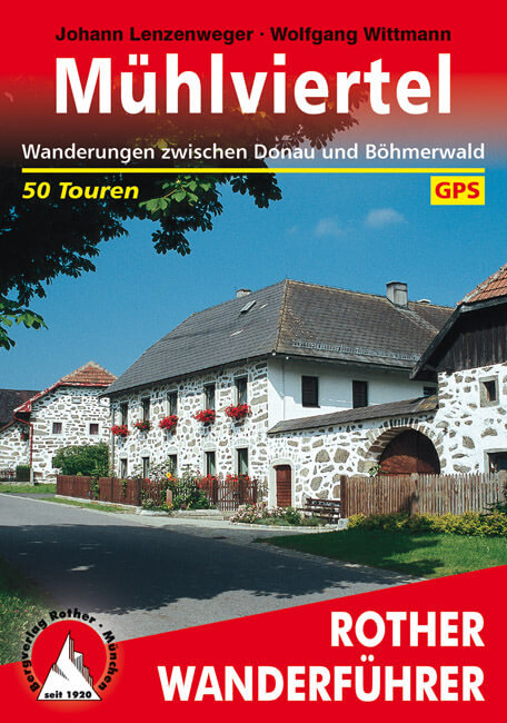
- Wandelgids Mühlviertel | Rother Bergverlag
- Uitstekende wandelgids met een groot aantal dagtochten in dal en hooggebergte. Met praktische informatie en beperkt kaartmateriaal! Wandelingen in verschillende zwaarte weergegeven in rood/blauw/zwart. Obwohl seit langem beliebtestes Ausflugs- und Erholungsziel der Bewohner des Gebiets rund um die oberösterreichische Landeshauptstadt Linz,... Lire la suite
De Zwerver
Netherlands
2010
Netherlands
2010
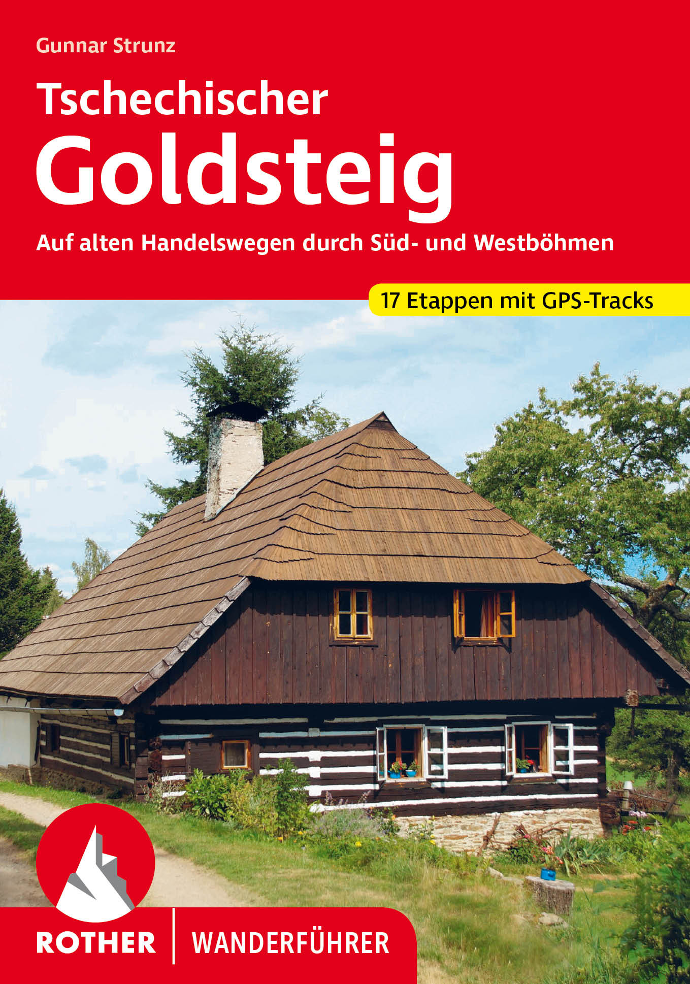
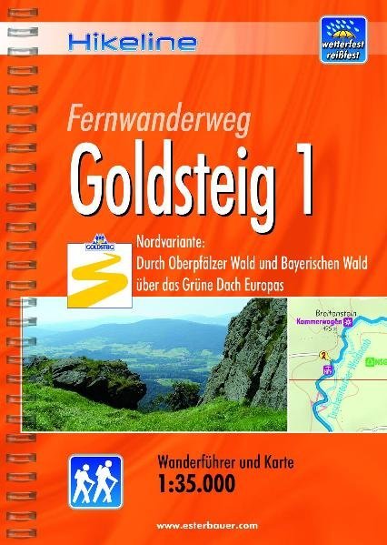
- Wandelgids Hikeline Goldsteig 1 | Esterbauer
- Handzame gids met een goede beschrijving van een meerdaagse tocht in dit gebied. De gids is in spiraalbinding en elke pagina is op scheur- en watervast papier gedrukt. Daar is echt over nagedacht! Der Goldsteig mit seinen beiden Varianten, zugleich Qualitätsweg Wanderbares Deutschland und einer der „Top Trails of Germany“, ist mit insgesamt ca.... Lire la suite
De Zwerver
Netherlands
2010
Netherlands
2010
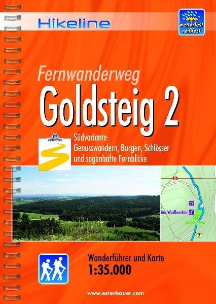
- Wandelgids Hikeline Goldsteig 2 | Esterbauer
- Handzame gids met een goede beschrijving van een meerdaagse tocht in dit gebied. De gids is in spiraalbinding en elke pagina is op scheur- en watervast papier gedrukt. Daar is echt over nagedacht! Der Goldsteig mit seinem beiden Varianten, zugleich Qualitätsweg Wanderbares Deutschland und einer der „Top Trails of Germany“, ist mit insgesamt ca.... Lire la suite
De Zwerver
Netherlands
2021
Netherlands
2021
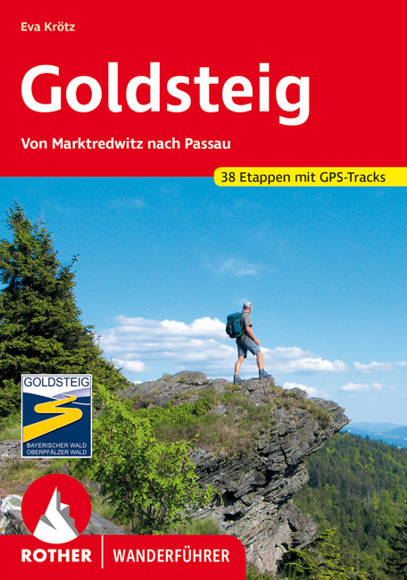
- Wandelgids 118 Goldsteig - Von Marktredwitz nach Passau | Rother Bergverlag
- Uitstekende wandelgids van de Goldsteig route in 38 etappes, van Marktredwitz naar Passau. Met voldoende en duidelijke informatie en goed kaartmateriaal. 200 Seiten mit 100 Farbabbildungen, 38 Höhenprofile, 38 Wanderkärtchen im Maßstab 1:75.000, eine Übersichtskarte Im August 2007 ist der Startschuss für den neuen, rund 660 km langen... Lire la suite
Cartes

Stanfords
United Kingdom
United Kingdom
- Bohemian Forest - Mühlviertel - Lipno Dam F&B WK262
- Bohemian Forest - Mühlviertel - Moldau/Vltava Reservoir area straddling the border of Austria, Czech Republic and Germany presented at 1:50,000 in a series of contoured and GPS compatible outdoor leisure map from Freytag & Berndt with hiking and cycling routes, mountain huts, campsites and youth hostels, local bus stops, plus other tourist... Lire la suite

Stanfords
United Kingdom
United Kingdom
- Upper Palatine Forest / Oberpfälzer Wald 2-Map Set Kompass 186
- Upper Palatine Forest (Oberpfälzer Wald) in eastern Bavaria in a set of two detailed, contoured and GPS compatible maps at 1:50,000 from Kompass with local and long-distance footpaths, cycling routes, accommodation, etc.KOMPASS HIKING & RECREATIONAL MAPS: this title is part of an extensive series covering Austria, much of Germany and the... Lire la suite

Stanfords
United Kingdom
United Kingdom
- Bohemian Forest - Sumava National Park Kompass 2-Map Set 2000
- Map No. 2000, Sumava National Park (2-map set), in a series of contoured, GPS compatible maps at 1:50,000 from Kompass covering popular hiking and recreational areas of the Czech Republic. The maps have contours at 20m intervals. An overprint highlights footpaths, indicating their waymarking, cycling routes, and where appropriate, ski routes. A... Lire la suite

Stanfords
United Kingdom
United Kingdom
- Northern Upper Palatine Forest NP
- The western part of the Oberpfälzer Wald Regional Park and the Steinwald Regional Park, map no. 50-14, in a series of special contoured and GP-compatible recreational maps from the Bavarian state survey organization, with cartography of the German topographic survey at 1:50,000 and extensive additional tourist overprint highlighting waymarked... Lire la suite

Stanfords
United Kingdom
United Kingdom
- Oberpfälzer Wald NP UK50-20
- Oberpfälzer Wald Regional Park, map no. 50-20, in a series of special contoured and GP-compatible recreational maps from the Bavarian state survey organization, with cartography of the German topographic survey at 1:50,000 and extensive additional tourist overprint highlighting waymarked hiking trails and cycling routes, campsites and youth... Lire la suite

Stanfords
United Kingdom
United Kingdom
- Transrhodopi - Long distance hiking and biking trail From Trigrad to Ivaylovgrad
- Western Rhodope Mountains at 1:100,000 on a contoured GPS compatible map from Domino extending from just west of the Pirin National Park to Asenovgrad in the north-east. The map is double-sided with a good overlap between the sides. Topography is shown by contours at 50m intervals with relief shading and spot heights, plus colouring for... Lire la suite

Stanfords
United Kingdom
United Kingdom
- Oberpfälzer Wald Regional Park: eastern part
- The eastern part of the Oberpfälzer Wald Regional Park, map no. 50-15 covering an area around Stiftland, Tirschenreuth and Weiden plus across the Czech border to include part of the Bohemian Forest, in a series of special contoured and GP-compatible recreational maps from the Bavarian state survey organization, with cartography of the German... Lire la suite

Stanfords
United Kingdom
United Kingdom
- Rila Mountains Domino
- Rila Mountains at 1:50,000 on a large, double-sided, contoured map with GPS waypoints for shelters and chalets, peaks, etc. and highlighting hiking routes. Topography is shown by contours at 50m intervals with additional relief shading and graphics and colouring for scree, single rocks over 5m high, marshlands and pine scrub and forests. An... Lire la suite
- Also available from:
- De Zwerver, Netherlands

De Zwerver
Netherlands
Netherlands
- Wandelkaart 5 Rila gebergte | Domino
- Rila Mountains at 1:50,000 on a large, double-sided, contoured map with GPS waypoints for shelters and chalets, peaks, etc. and highlighting hiking routes. Topography is shown by contours at 50m intervals with additional relief shading and graphics and colouring for scree, single rocks over 5m high, marshlands and pine scrub and forests. An... Lire la suite

Stanfords
United Kingdom
United Kingdom
- Strandzha Mountains: Burgas to the Turkish Border Domino Map
- Strandzha Mountains in the south-eastern corner of Bulgaria between Burgas to the Turkish border on a contoured and GPS compatible map from Domino showing local hiking trails and highlighting various interesting sites, with three more detailed enlargements at 1:25,000. Most place names are in both Latin and Cyrillic alphabet; map legend... Lire la suite
- Also available from:
- De Zwerver, Netherlands

De Zwerver
Netherlands
Netherlands
- Wandelkaart Strandzha - Bulgarije | Domino
- Strandzha Mountains in the south-eastern corner of Bulgaria between Burgas to the Turkish border on a contoured and GPS compatible map from Domino showing local hiking trails and highlighting various interesting sites, with three more detailed enlargements at 1:25,000. Most place names are in both Latin and Cyrillic alphabet; map legend... Lire la suite

Stanfords
United Kingdom
United Kingdom
- Pirin Mountains Domino
- Pirin Mountains at 1:50,000 on a large, double-sided, contoured map with GPS waypoints for shelters and chalets, peaks, etc. and highlighting hiking routes. Topography is shown by contours at 40m intervals with additional relief shading and graphics and colouring for sandstone stacks, single rocks over 5m high, marshlands and different types of... Lire la suite
- Also available from:
- De Zwerver, Netherlands

De Zwerver
Netherlands
Netherlands
- Wandelkaart 6 Pirin gebergte | Domino
- Pirin Mountains at 1:50,000 on a large, double-sided, contoured map with GPS waypoints for shelters and chalets, peaks, etc. and highlighting hiking routes. Topography is shown by contours at 40m intervals with additional relief shading and graphics and colouring for sandstone stacks, single rocks over 5m high, marshlands and different types of... Lire la suite

De Zwerver
Netherlands
Netherlands
- Wandelkaart Sredna Gora - Bulgarije | Domino
- Pirin Mountains at 1:50,000 on a large, double-sided, contoured map with GPS waypoints for shelters and chalets, peaks, etc. and highlighting hiking routes. Topography is shown by contours at 40m intervals with additional relief shading and graphics and colouring for sandstone stacks, single rocks over 5m high, marshlands and different types of... Lire la suite

Stanfords
United Kingdom
United Kingdom
- Western Rhodope Mountains Domino Map
- Western Rhodope Mountains at 1:100,000 on a contoured GPS compatible map from Domino extending from just west of the Pirin National Park to Asenovgrad in the north-east. The map is double-sided with a good overlap between the sides. Topography is shown by contours at 50m intervals with relief shading and spot heights, plus colouring for... Lire la suite
- Also available from:
- De Zwerver, Netherlands

De Zwerver
Netherlands
Netherlands
- Wandelkaart - Wegenkaart - landkaart 7 Westelijke Rhodopen - Western Rhodopes | Domino
- Western Rhodope Mountains at 1:100,000 on a contoured GPS compatible map from Domino extending from just west of the Pirin National Park to Asenovgrad in the north-east. The map is double-sided with a good overlap between the sides. Topography is shown by contours at 50m intervals with relief shading and spot heights, plus colouring for... Lire la suite
Bol.com
Netherlands
Netherlands
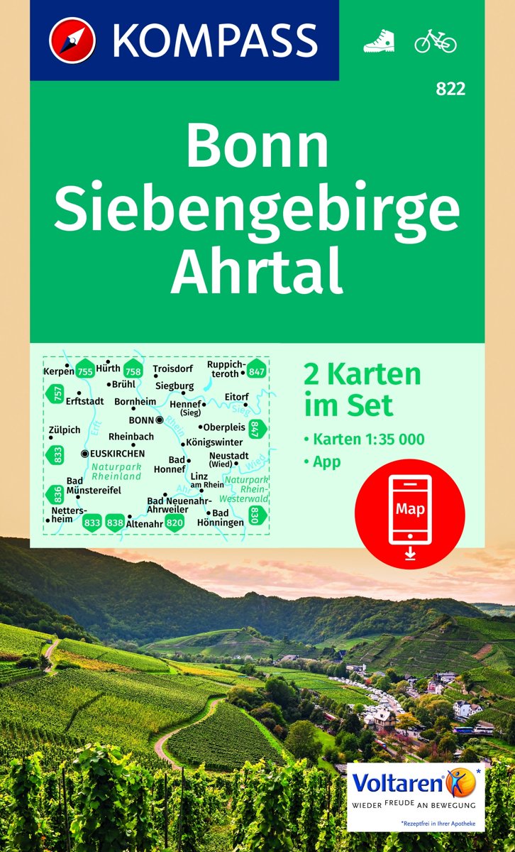
- Bonn, Siebengebirge, Ahrtal WK822
- Die KOMPASS Wanderkarten überzeugen durch eine GPS-genaue und aktuelle Karte zur einfachen Orientierung lesefreundliche Optik im idealen Maßstab von 1:25.000/1:35.000 oder 1:50.000Toeristische kaart voor wandelen, fietsen en vrije tijd met activiteitengids en stadsplattegronden • goed leesbare schaal van 1:50 000 • te gebruiken met GPS • met... Lire la suite
- Also available from:
- Bol.com, Belgium
Bol.com
Belgium
Belgium
- Bonn, Siebengebirge, Ahrtal WK822
- Die KOMPASS Wanderkarten überzeugen durch eine GPS-genaue und aktuelle Karte zur einfachen Orientierung lesefreundliche Optik im idealen Maßstab von 1:25.000/1:35.000 oder 1:50.000Toeristische kaart voor wandelen, fietsen en vrije tijd met activiteitengids en stadsplattegronden • goed leesbare schaal van 1:50 000 • te gebruiken met GPS • met... Lire la suite
De Zwerver
Netherlands
2022
Netherlands
2022
De Zwerver
Netherlands
Netherlands
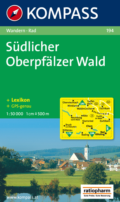
- Wandelkaart 194 Südlicher Oberpfälzer Wald | Kompass
- Goede wandelkaart met vrijwel alle topografische details en ingetekende routes. Ook met symbolen voor toeristische bezienswaardigheden, register. Berghutten duidelijk weergegeven. Gevaarlijke wandelroutes zijn goed herkenbaar. Inclusief een Duitstalig boekje met informatie en routesuggesties. Lire la suite