
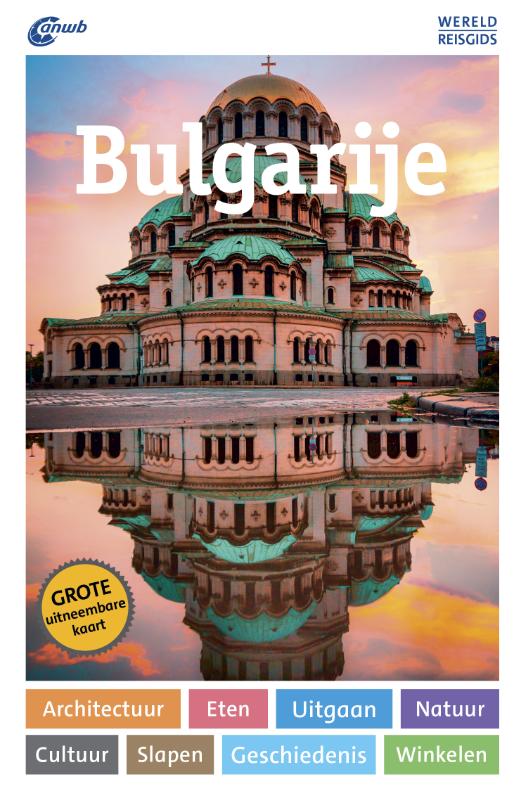
Bulgarie
Description
 Bulgaria is a lovely country for long distance hikers. Most famous are Rila, Pirin and Rhodope mountain ranges. The Balkan mountains (Stara Planina) are perhaps less spectacularly high, but no less interesting in terms of flora and fauna. The European long distance trail E3, of which the Bulgarian section is known as "Kom-Emine", runs right across the Stara Planina from western border with Serbia to the Black Sea in the east. This magnificent waymarked trail, through old forests of beech and oak, passing remote huts and open grassy ridges with herds of horses running free, will leave a lasting impression on any long distance hiker. A second European long distance trail, E4, leads across the Bulgarian Vitosha mountains south of Sofia, and there are several other well-marked long distance trails and lots of mountain huts in Bulgaria. Bringing camping gear can be handy though.
Inland Bulgaria has a temperate continental climate, with a more maritime, almost mediterranean climate along the Black Sea coast. In the mountains, July, August and September are warm and mostly dry. Nevertheless, be prepared for sudden weather changes and drops in temperature at all times, and fierce thunderstorms in particular.
Sentiers
Régions


Liens
Données
Rapports
Guides et cartes
Hébergement
Organisations
Voyagistes
GPS
Autre
Livres
Netherlands
- Bulgaria
- Exploring Bulgaria's relatively undiscovered delights, this guide gives tips for budget skiing destinations and offers more peaceful holiday ideas including beaches, mineral spas, monastries and hiking. There is also a handy language section to help with the communication side of things. Lire la suite
- Also available from:
- Bol.com, Belgium
Belgium
- Bulgaria
- Exploring Bulgaria's relatively undiscovered delights, this guide gives tips for budget skiing destinations and offers more peaceful holiday ideas including beaches, mineral spas, monastries and hiking. There is also a handy language section to help with the communication side of things. Lire la suite
Netherlands
- Prophet for Our Times
- Foreword by Dr Wayne D. Dyer.'The whole world bows down before me; I bow down before the Master Peter Deunov' - Albert Einstein Peter Deunov (Beinsa Dounov), who lived in Bulgaria from 1864 to 1944, was a great and inspired teacher of the Perennial Wisdom, that essential thread of truth running through all the major world religions. He was an... Lire la suite
- Also available from:
- Bol.com, Belgium
Belgium
- Prophet for Our Times
- Foreword by Dr Wayne D. Dyer.'The whole world bows down before me; I bow down before the Master Peter Deunov' - Albert Einstein Peter Deunov (Beinsa Dounov), who lived in Bulgaria from 1864 to 1944, was a great and inspired teacher of the Perennial Wisdom, that essential thread of truth running through all the major world religions. He was an... Lire la suite
Netherlands
2010
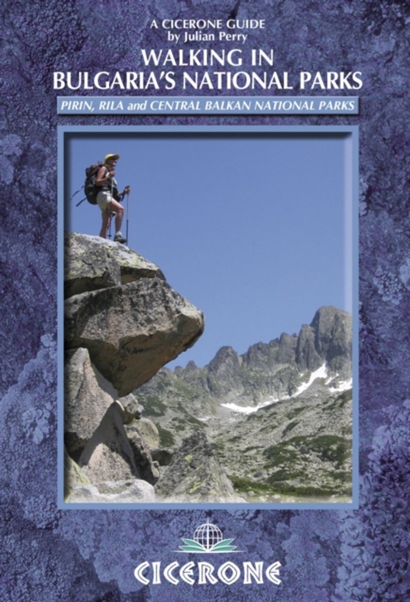
- Walking in Bulgaria's National Parks
- A guide to walking and trekking in Bulgaria. The routes are based in the Pirin, Rila and Central Balkan national parks that cover the three wildest and most majestic mountain regions of Bulgaria. 12 superb two to four-day routes are described including ascents of Musala and Vihren, Bulgaria's highest peaks. Each walk is broken down into day... Lire la suite
- Also available from:
- Bol.com, Belgium
Belgium
2010
- Walking in Bulgaria's National Parks
- A guide to walking and trekking in Bulgaria. The routes are based in the Pirin, Rila and Central Balkan national parks that cover the three wildest and most majestic mountain regions of Bulgaria. 12 superb two to four-day routes are described including ascents of Musala and Vihren, Bulgaria's highest peaks. Each walk is broken down into day... Lire la suite
Netherlands
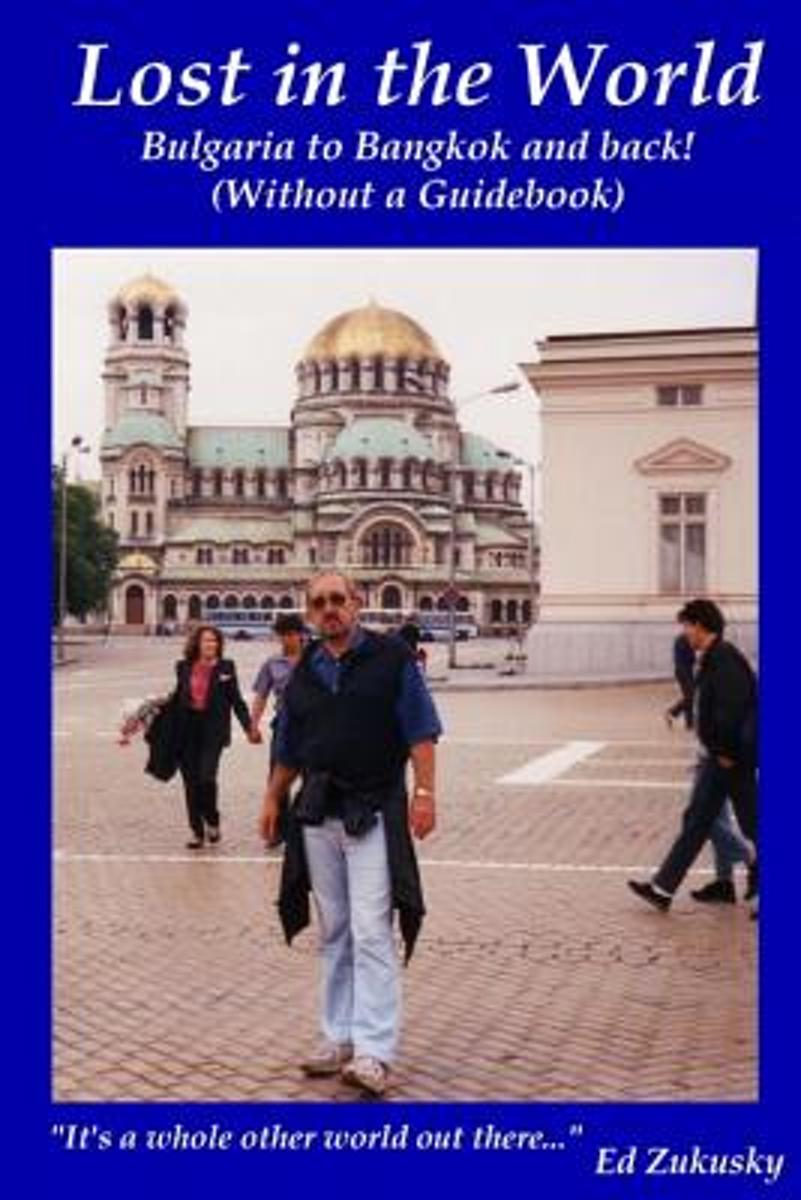
- Lost in the World
- What do sacrificing sheep, the Bulgarian KGB and fish eyes floating in soup have in common?They were just a small part of the unexpected events I encountered during my 20 years traveling the world.When you add; sharing a path with Giant Monitor Lizards, a nuclear power plant outside your hotel window and passing out white envelopes filled with... Lire la suite
- Also available from:
- Bol.com, Belgium
Belgium
- Lost in the World
- What do sacrificing sheep, the Bulgarian KGB and fish eyes floating in soup have in common?They were just a small part of the unexpected events I encountered during my 20 years traveling the world.When you add; sharing a path with Giant Monitor Lizards, a nuclear power plant outside your hotel window and passing out white envelopes filled with... Lire la suite

United Kingdom
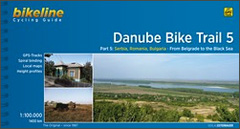
- Danube Cycle Route Part 5: Belgrade - Black Sea (1400km) Bikeline Map/Guide ENGLISH Ed.
- The Danube Cycle Route Part 5 – the fifth, 1400-km long section from Belgrade to the Black Sea – in an English language edition of Verlag Esterbauers’ Bikeline series. Coverage includes alternative routes along the Bulgarian or the Romanian side of the river, plus a variant within Romania via Constanta to the Danube Delta. The guide provides... Lire la suite
- Also available from:
- Bol.com, Netherlands
- Bol.com, Belgium
Netherlands
- Danube Bike Trail 5 Belgrad - Black Sea
- Bikeline Radtourenbücher. 1. Auflage. Lire la suite
Belgium
- Danube Bike Trail 5 Belgrad - Black Sea
- Bikeline Radtourenbücher. 1. Auflage. Lire la suite
Netherlands
2018
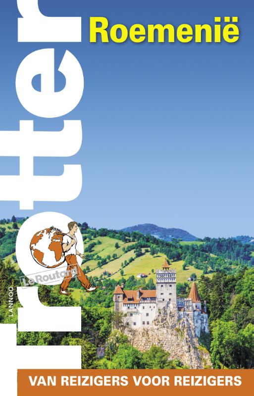
- Reisgids Trotter Roemenie | Lannoo
- Goede informatieve gids met nadruk op praktische informatie om rond te reizen. Echter ook aandacht voor cultuur en geschiedenis. Geschreven met prachtige Belgische humor, oorspronkelijk Franse gids. Het echte verhaal achter de klassieke trekpleisters Tips om de verborgen parels buiten de platgetreden paden te verkennen Verrassende anekdotes en... Lire la suite
Netherlands
2015
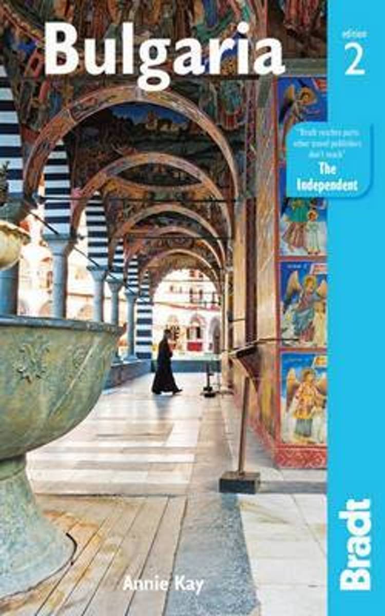
- Bulgaria
- Bulgaria has a history and culture as rich and diverse as its landscape. From the gold-domed churches of Sofia to the picturesque National Revival houses of Koprivshtitsa, visitors will find an eclectic mix of traditions and architecture. Add to this remote mountain monasteries, medieval fortresses and ancient rock formations, and you'll see... Lire la suite
- Also available from:
- Bol.com, Belgium
Belgium
2015
- Bulgaria
- Bulgaria has a history and culture as rich and diverse as its landscape. From the gold-domed churches of Sofia to the picturesque National Revival houses of Koprivshtitsa, visitors will find an eclectic mix of traditions and architecture. Add to this remote mountain monasteries, medieval fortresses and ancient rock formations, and you'll see... Lire la suite
Netherlands
2018
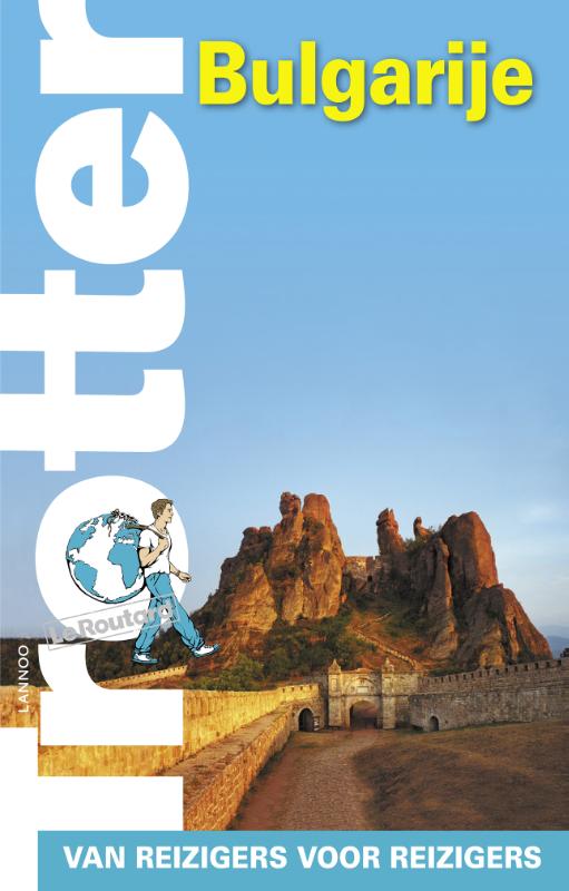
- Reisgids Trotter Bulgarije | Lannoo
- Goede informatieve gids met nadruk op praktische informatie om rond te reizen. Echter ook aandacht voor cultuur en geschiedenis. Geschreven met prachtige Belgische humor, oorspronkelijk Franse gids. Het echte verhaal achter de klassieke trekpleisters Tips om de verborgen parels buiten de platgetreden paden te verkennen Verrassende anekdotes en... Lire la suite

United Kingdom
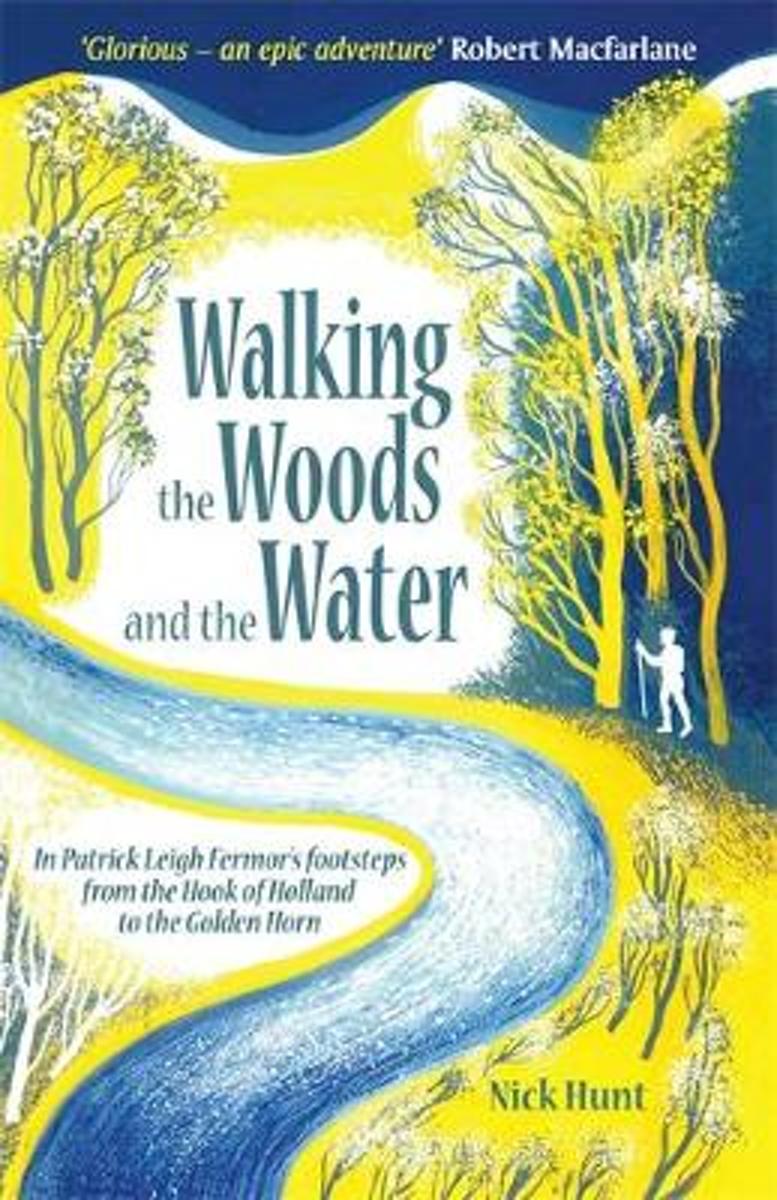
- Walking the Woods and the Water
- In Patrick Leigh Fermor's Footsteps from the Hook of Holland to the Golden Horn Lire la suite
- Also available from:
- Bol.com, Netherlands
- Bol.com, Belgium
Netherlands
- Walking the Woods and the Water
- In 1933, the eighteen year old Patrick Leigh Fermor set out in a pair of hobnailed boots to chance and charm his way across Europe, like a tramp, a pilgrim or a wandering scholar. The books he later wrote about this walk, A Time of Gifts, Between the Woods and the Water, and the posthumous The Broken Road are a half-remembered, half-reimagined... Lire la suite
Belgium
- Walking the Woods and the Water
- In 1933, the eighteen year old Patrick Leigh Fermor set out in a pair of hobnailed boots to chance and charm his way across Europe, like a tramp, a pilgrim or a wandering scholar. The books he later wrote about this walk, A Time of Gifts, Between the Woods and the Water, and the posthumous The Broken Road are a half-remembered, half-reimagined... Lire la suite
Netherlands
2017
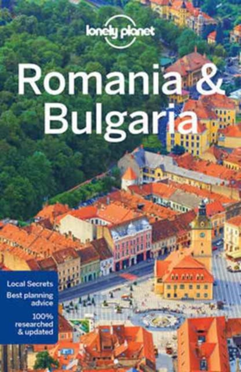
- Lonely Planet Romania & Bulgaria
- Lonely Planet: The world's leading travel guide publisherLonely Planet Romania & Bulgaria is your passport to all the most relevant and up-to-date advice on what to see, what to skip, and what hidden discoveries await you. Absorb the vibrant landscape by hiking the Carpathians, relax on Bulgaria's Black Sea coast, or experience the kaleidoscope... Lire la suite
- Also available from:
- Bol.com, Belgium
- De Zwerver, Netherlands
Belgium
2017
- Lonely Planet Romania & Bulgaria
- Lonely Planet: The world's leading travel guide publisherLonely Planet Romania & Bulgaria is your passport to all the most relevant and up-to-date advice on what to see, what to skip, and what hidden discoveries await you. Absorb the vibrant landscape by hiking the Carpathians, relax on Bulgaria's Black Sea coast, or experience the kaleidoscope... Lire la suite
Netherlands
2017
- Reisgids Romania & Bulgaria - Roemenië en Bulgarije | Lonely Planet
- De perfecte reisgids voor zowel de georganiseerde als de zelfstandige reiziger. Naast een algemene inleiding van het land / streek vol met praktische informatie over hoe je er het beste kunt reizen: slapen, eten, vervoer, excursies ... alles kun je er in vinden. Engelstalig. Lonely Planet Romania & Bulgaria is your passport to all the most... Lire la suite
Cartes

United Kingdom
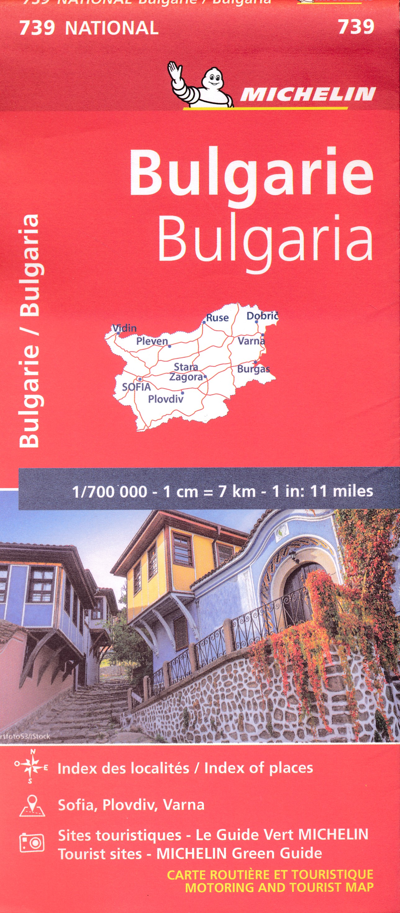
- Bulgaria Road Atlas
- Road Atlas of Bulgaria at 1:330,000 from Domino with street plans of central Sofia, Plovdiv, Varna and Burgas, enlargements for the Black Sea coast holiday areas, plus lists of 100 best tourist sights and 169 monasteries.The atlas provides an excellent picture of the country’s topography with bright altitude colouring enhanced by relief shading... Lire la suite

United Kingdom
- Bulgaria (with Fishing Lakes)
- Bulgaria at 1:540,000 on an indexed road from Domino with on the reverse enlargements of 20 fishing lakes, plus other information for anglers. All information is in Bulgarian only and all place names of the maps are in Cyrillic alphabet.The main map provides a clear picture of the country’s topography with bright altitude colouring enhanced by... Lire la suite

United Kingdom
- Pirin (BG) - Orvilos - Vrontou (GR) Geopsis 134
- Pirin Mountais in south-western Bulgaria, plus Orvilos and Vrondous (Vrontou) Mountains in northern Greece on a light, waterproof and tear-resistant, contoured and GPS compatible amt at 1:50,000 from Greek publishers Geopsis, highlighting waymarked hiking trails, places of interest, etc.On one side are the Pirin Mountain in Bulgaria with... Lire la suite
Netherlands
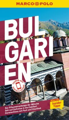
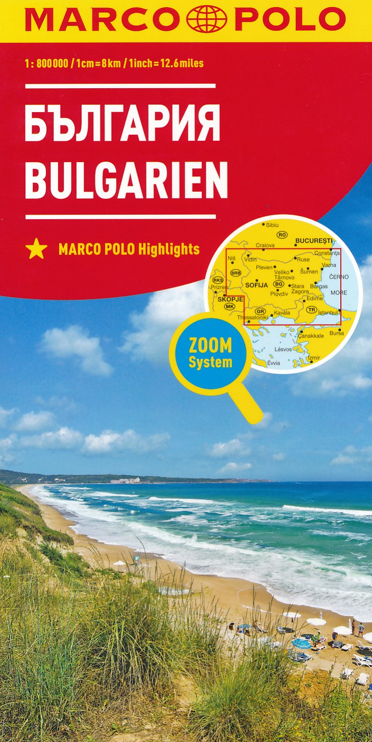
- Wegenkaart - landkaart Bulgaria - Bulgarije | Marco Polo
- MARCO POLO Länderkarte Bulgarien 1:800 000 ab 11.99 EURO Marco Polo Karte Marco Polo Länderkarte. 6. Auflage Lire la suite
Netherlands
2022
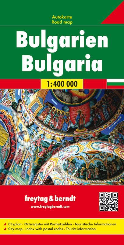
- Wegenkaart - landkaart Bulgarije | Freytag & Berndt
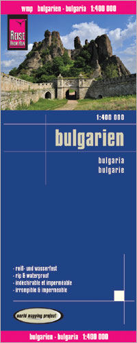
- Bulgarien 1 : 400 000. Autokarte ab 10.9 EURO Cityplan. Ortsregister mit Postleitzahlen. Touristische Informationen Freytag & Berndt Autokarte. Neuauflage, Laufzeit bis 2020 Lire la suite
Netherlands
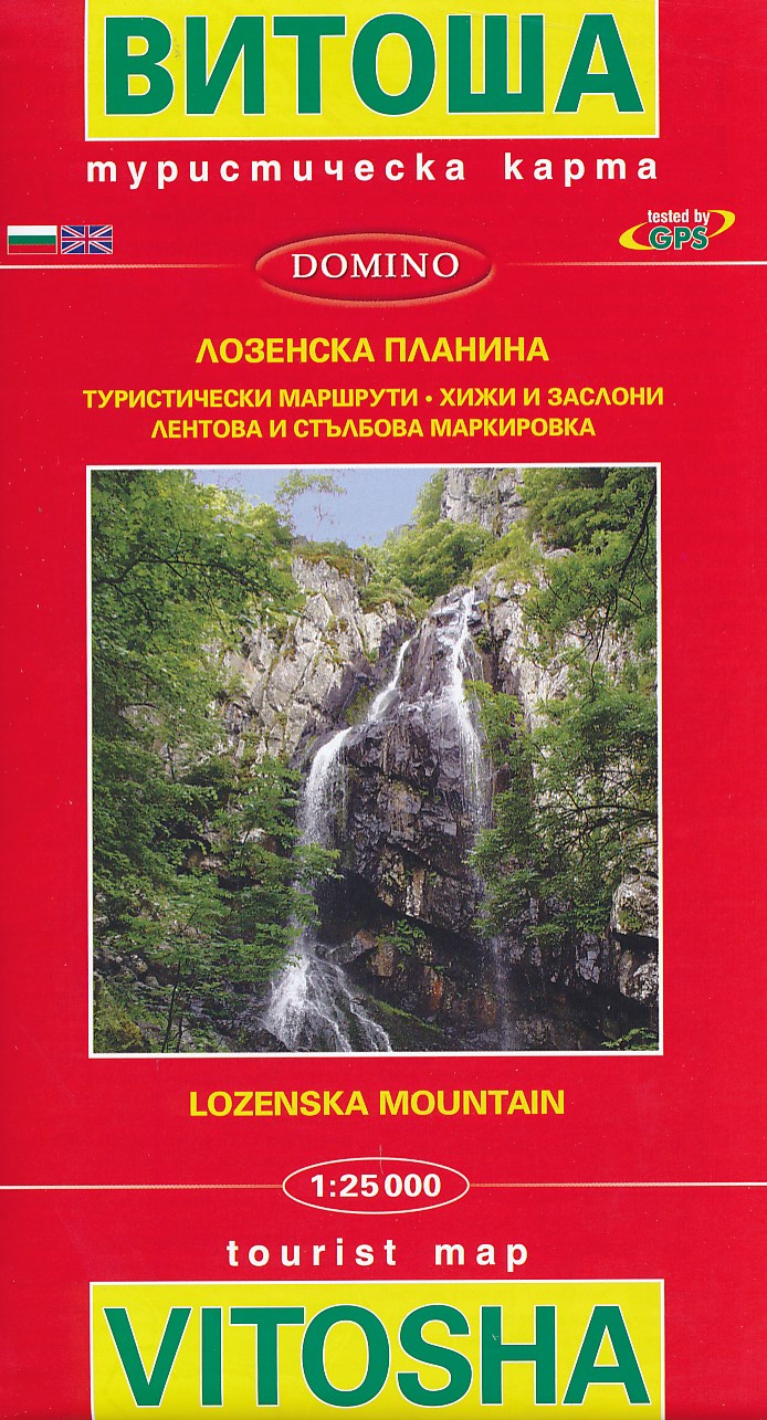
- Wandelkaart 8 Vitosha - Lozenska Mountain | Domino
- Gedetailleerde kaart met hoogtelijnen en wandelroutes. Tevens aanduiding van campings, hotels, eerste hulpposten, etc. Alle tekst in het Latijnse en Cyrillische schrift. Wandelpaden gemarkeerd, hutten zijn aangegeven. Lire la suite
Netherlands
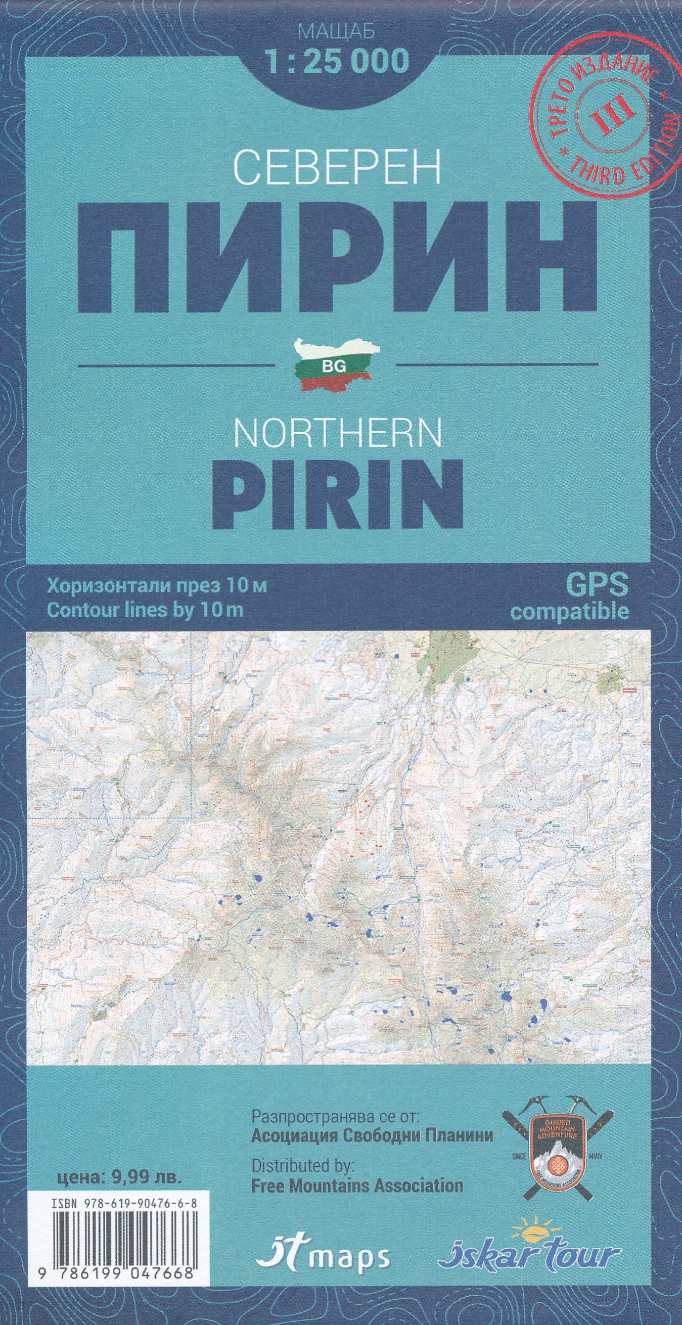
- Wandelkaart noordelijk Pirin gebergte - Northern Pirin | IT maps - Iskar
- Goede duidelijke wandelkaart met een schaal van 1:25.000 van het noordelijk deel van het Pirin gebergte in Bulgarije. De kaart is gebaseerd op topografische kaarten met een opdruk van wandelroutes, hutten en andere handige informatie. Hoogtelijnen (afstand 10 m), bergen, meren en rivieren staan er goed voor navigatie; de beschrijvingen en... Lire la suite

United Kingdom
- Pirin Mountains Domino
- Pirin Mountains at 1:50,000 on a large, double-sided, contoured map with GPS waypoints for shelters and chalets, peaks, etc. and highlighting hiking routes. Topography is shown by contours at 40m intervals with additional relief shading and graphics and colouring for sandstone stacks, single rocks over 5m high, marshlands and different types of... Lire la suite
- Also available from:
- De Zwerver, Netherlands

Netherlands
- Wandelkaart 6 Pirin gebergte | Domino
- Pirin Mountains at 1:50,000 on a large, double-sided, contoured map with GPS waypoints for shelters and chalets, peaks, etc. and highlighting hiking routes. Topography is shown by contours at 40m intervals with additional relief shading and graphics and colouring for sandstone stacks, single rocks over 5m high, marshlands and different types of... Lire la suite
Netherlands
- Wandelkaart zuidelijk Pirin gebergte - southern Pirin | IT maps - Iskar
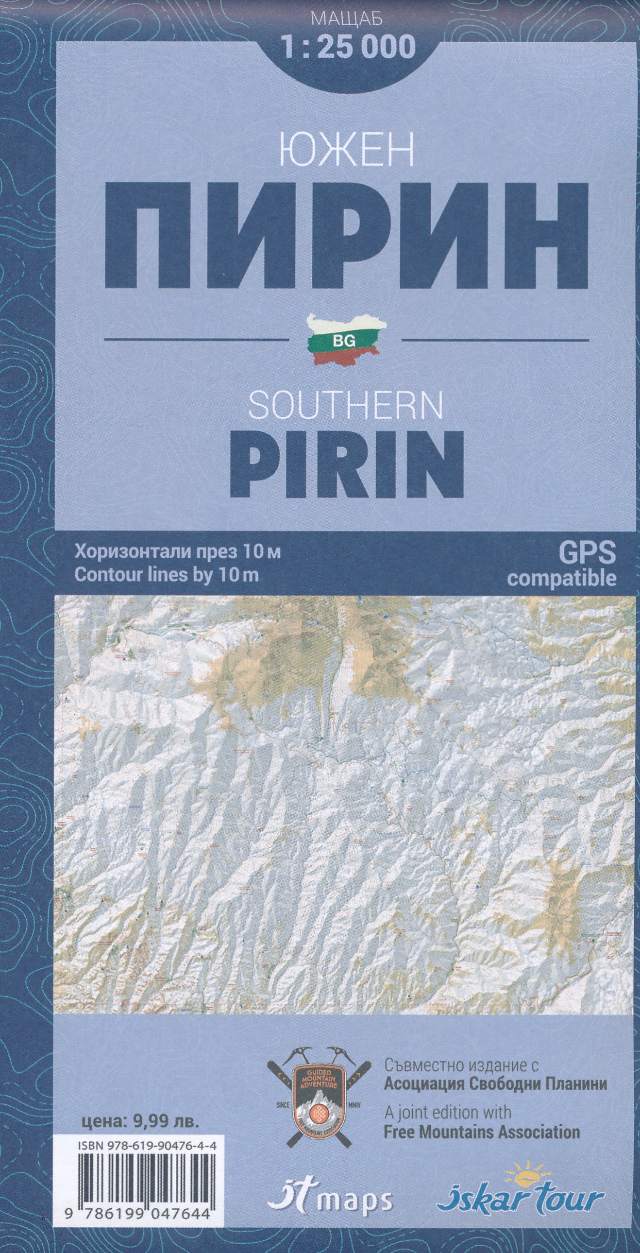
- Goede duidelijke wandelkaart met een schaal van 1:25.000 van het zuidelijke deel van het Pirin gebergte. De kaart is gebaseerd op topografische kaarten met een opdruk van wandelroutes, hutten en andere handige informatie. Hoogtelijnen (afstand 10 m), bergen, meren en rivieren staan er goed voor navigatie; de beschrijvingen en plaatsnamen zijn... Lire la suite

United Kingdom
- Vitosha - Verila
- Street Atlas of Sofia with its outer suburbs and satellite districts at 1:12,000, with a topographic map of the Vitosha massif at 1:50,000 and a 4-page English language to the capital. The city’s tram, trolleybus and bus lines are shown with stops and line numbers. One way streets are marked, plus car parks, locations of petrol stations and car... Lire la suite
- Also available from:
- De Zwerver, Netherlands
Netherlands
- Wandelkaart Vitosha - Verila | IT maps - Iskar
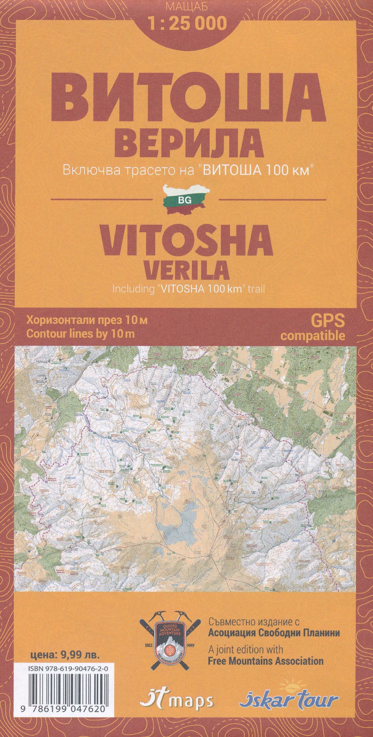
- Goede duidelijke wandelkaart met een schaal van 1:25.000 van het Vitosha - Verila gebergte in Bulgarije, inclusief de Vitosha 100 km trail. De kaart is gebaseerd op topografische kaarten met een opdruk van wandelroutes, hutten en andere handige informatie. Hoogtelijnen (afstand 10 m), bergen, meren en rivieren staan er goed voor navigatie; de... Lire la suite

United Kingdom
- Strandzha Mountains: Burgas to the Turkish Border Domino Map
- Strandzha Mountains in the south-eastern corner of Bulgaria between Burgas to the Turkish border on a contoured and GPS compatible map from Domino showing local hiking trails and highlighting various interesting sites, with three more detailed enlargements at 1:25,000. Most place names are in both Latin and Cyrillic alphabet; map legend... Lire la suite
- Also available from:
- De Zwerver, Netherlands

Netherlands
- Wandelkaart Strandzha - Bulgarije | Domino
- Strandzha Mountains in the south-eastern corner of Bulgaria between Burgas to the Turkish border on a contoured and GPS compatible map from Domino showing local hiking trails and highlighting various interesting sites, with three more detailed enlargements at 1:25,000. Most place names are in both Latin and Cyrillic alphabet; map legend... Lire la suite

Netherlands
- Wandelkaart Sredna Gora - Bulgarije | Domino
- Pirin Mountains at 1:50,000 on a large, double-sided, contoured map with GPS waypoints for shelters and chalets, peaks, etc. and highlighting hiking routes. Topography is shown by contours at 40m intervals with additional relief shading and graphics and colouring for sandstone stacks, single rocks over 5m high, marshlands and different types of... Lire la suite