
Allgäuer Alpen
Description

In the southernmost part of Germany, the Allgäuer Alps is a very popular hiking area. Here, Germany has a piece of beautiful alpine country. The region counts more than 40 huts, and numerous trails. The area is best accessible from the town of Oberstdorf. The Allgäuer Alps run into Austria, and border on the eastern side to the Lech Valley.
The Allgäuer Alps are green in nature, with plenty of alpine meadows (famous Allgäuer cheese). In the northwest lie the Allgäuer Voralpen, a beautiful and spacious area for those who do not want to walk too rough. The eastern ranges form the higher parts, with peaks up to 2600 meters. For those who like steep heights and some easy climbing, the Heilbronner Weg is recommended. This is a ridgewalk following the Austrian-German border.
Due to its popularity, you will find many (German) web sites specifically about this area.
Carte


Sentiers de cette région
Liens
Données
Rapports
Guides et cartes
Hébergement
Organisations
Voyagistes
GPS
Autre
Livres

United Kingdom
2018
- Walking in the Bavarian Alps
- A comprehensive guidebook detailing walks in Germany`s Bavarian Alps. Lying along the German-Austrian border in a thin sliver of land roughly 300km long, this area contains some of the most spectacular walking and beautiful scenery that Germany has to offer. 70 graded walks explore mountain landscapes, wild mountain gorges and alpine meadows as... Lire la suite
- Also available from:
- The Book Depository, United Kingdom
- De Zwerver, Netherlands

United Kingdom
2018
- Walking in the Bavarian Alps
- 70 mountain walks and treks in southern Germany Lire la suite

Netherlands
2018
- Wandelgids Beieren - Walking in the Bavarian Alps | Cicerone
- Guidebook to mountain walks and treks in the Bavarian Alps, on the border of Germany and Austria, between Lake Constance and Berchtesgaden. Accessible from Munich, Salzburg and Innsbruck, these 70 routes range from half-day walks to 3-day hut-to-hut treks. Highlights include the Königssee and Breitach, Partnach and Höllental gorges. Lire la suite

Netherlands
2022
- Wandelgids Munchen - Venetie, München - Venedig | Rother Bergverlag
- Beschrijving van een lange afstand pad dwars door de Alpen van Munchen naar Venetie: goede beschrijvingen van de etappes, kaarten redelijk. Die anspruchsvolle Alpenüberquerung von München nach Venedig verläuft auf einer der interessantesten aller möglichen Routen über das höchste Gebirge Europas. Im Herzen Münchens beginnt die Tour am... Lire la suite
Netherlands
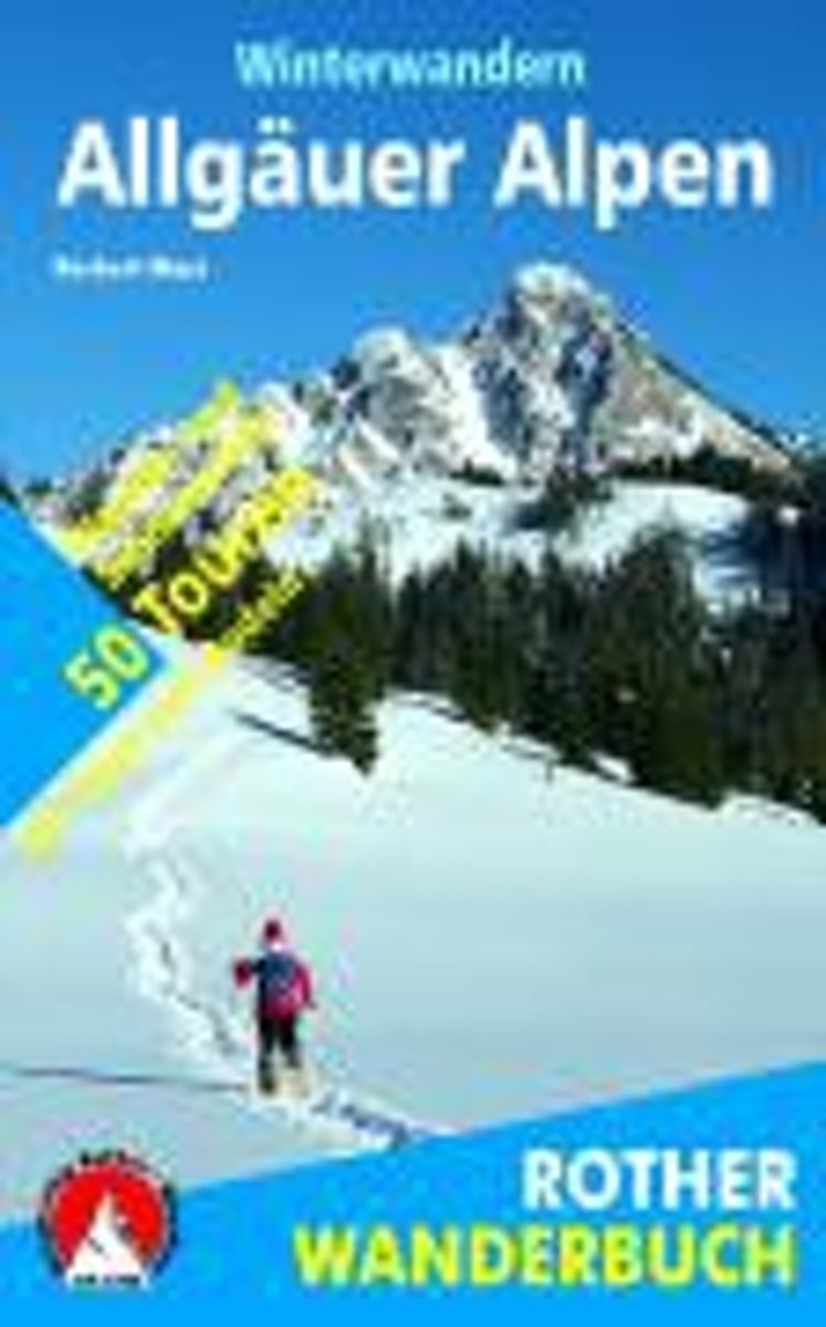
- Winterwandern Allgäuer Alpen
- Winterwandern und Schneeschuhgehen - entspannende Freizeitaktivit ten, die sich zunehmender Beliebtheit erfreuen - bieten vor allem ein Erlebnis f r die Sinne. Harmonische Landschaftsformen in prickelnd klarer Luft, verzauberte Waldeinsamkeit, schweigende Gebirgst ler, heimelige Bergh tten, eins werden mit der Natur: Welches Gel nde k nnte sich... Lire la suite
- Also available from:
- Bol.com, Belgium
Belgium
- Winterwandern Allgäuer Alpen
- Winterwandern und Schneeschuhgehen - entspannende Freizeitaktivit ten, die sich zunehmender Beliebtheit erfreuen - bieten vor allem ein Erlebnis f r die Sinne. Harmonische Landschaftsformen in prickelnd klarer Luft, verzauberte Waldeinsamkeit, schweigende Gebirgst ler, heimelige Bergh tten, eins werden mit der Natur: Welches Gel nde k nnte sich... Lire la suite

Netherlands
2007
- Wandelgids Across the eastern alps: E5 | Cicerone
- From Lake Constance in Germany, this guidebook describes walking the E5 trek that runs 600km through a remarkable kaleidoscope of landscapes and culture in Switzerland, Austria and Italy, to its destination at Verona. It traverses the Allgauer, Lechtaler and Ötztaler Alps. There is a good network of alpine refuges and guesthouses on the route. Lire la suite
Netherlands
2016
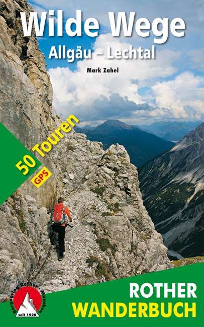
- Wandelgids Wilde Wege Allgäu - Lechtal | Rother Bergverlag
- De ‘Rother Wanderbücher’ behandelen telkens de 50 mooiste wandelingen, die variëren van eenvoudige kindvriendelijke wandelingen tot routes die aanzienlijk meer ervaring vereisen. Uitvoerige routebeschrijvingen, een aantrekkelijke lay-out met vele kleurenfoto’s; niets aan duidelijkheid te wensen gelaten hoogteprofielen, kaartjes met de... Lire la suite

Netherlands
- Un Jubilado En Los Alpes
- Se aproximaba el verano y era necesario decidirse. Entre unos pocos proyectos previstos hasta esos dias, que habian ido surgiendo en mi imaginacion durante el invierno, se fueron concretando a mitad de la primavera la posibilidad de caminar por el Himalaya, en Cachemira, recorrer algunos valles del Caucaso al norte de Georgia o atravesar los... Lire la suite
- Also available from:
- Bol.com, Belgium
Belgium
- Un Jubilado En Los Alpes
- Se aproximaba el verano y era necesario decidirse. Entre unos pocos proyectos previstos hasta esos dias, que habian ido surgiendo en mi imaginacion durante el invierno, se fueron concretando a mitad de la primavera la posibilidad de caminar por el Himalaya, en Cachemira, recorrer algunos valles del Caucaso al norte de Georgia o atravesar los... Lire la suite

Netherlands
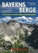
- Bayerns Berge
- Warum in die Ferne schweifen und eine weite Anreise in die Zentralalpen in Kauf nehmen, wenn das Gute so nahe liegt? Der bayerische Alpenbogen zwischen Allgäu und Berchtesgaden - die Allgäuer Alpen, die Ammergauer Alpen, das Wettersteingebirge, die Bayerischen Voralpen mit Estergebirge, Walchenseebergen, Benediktenwandgruppe und... Lire la suite
- Also available from:
- Bol.com, Belgium
Belgium
- Bayerns Berge
- Warum in die Ferne schweifen und eine weite Anreise in die Zentralalpen in Kauf nehmen, wenn das Gute so nahe liegt? Der bayerische Alpenbogen zwischen Allgäu und Berchtesgaden - die Allgäuer Alpen, die Ammergauer Alpen, das Wettersteingebirge, die Bayerischen Voralpen mit Estergebirge, Walchenseebergen, Benediktenwandgruppe und... Lire la suite

Netherlands
- Hiking in Switzerland
- This is the official guidebook to the Swiss section of the Via Alpina (National Route 1), published by the Swiss Hiking Federation. The Via Alpina is a network of five long-distance hiking routes which cross eight Alpine countries from Trieste to Monaco - over 5,000 kilometres of hiking trails in total. On Swiss soil, National Route 1 Via... Lire la suite
- Also available from:
- Bol.com, Belgium
Belgium
- Hiking in Switzerland
- This is the official guidebook to the Swiss section of the Via Alpina (National Route 1), published by the Swiss Hiking Federation. The Via Alpina is a network of five long-distance hiking routes which cross eight Alpine countries from Trieste to Monaco - over 5,000 kilometres of hiking trails in total. On Swiss soil, National Route 1 Via... Lire la suite
Netherlands
2013
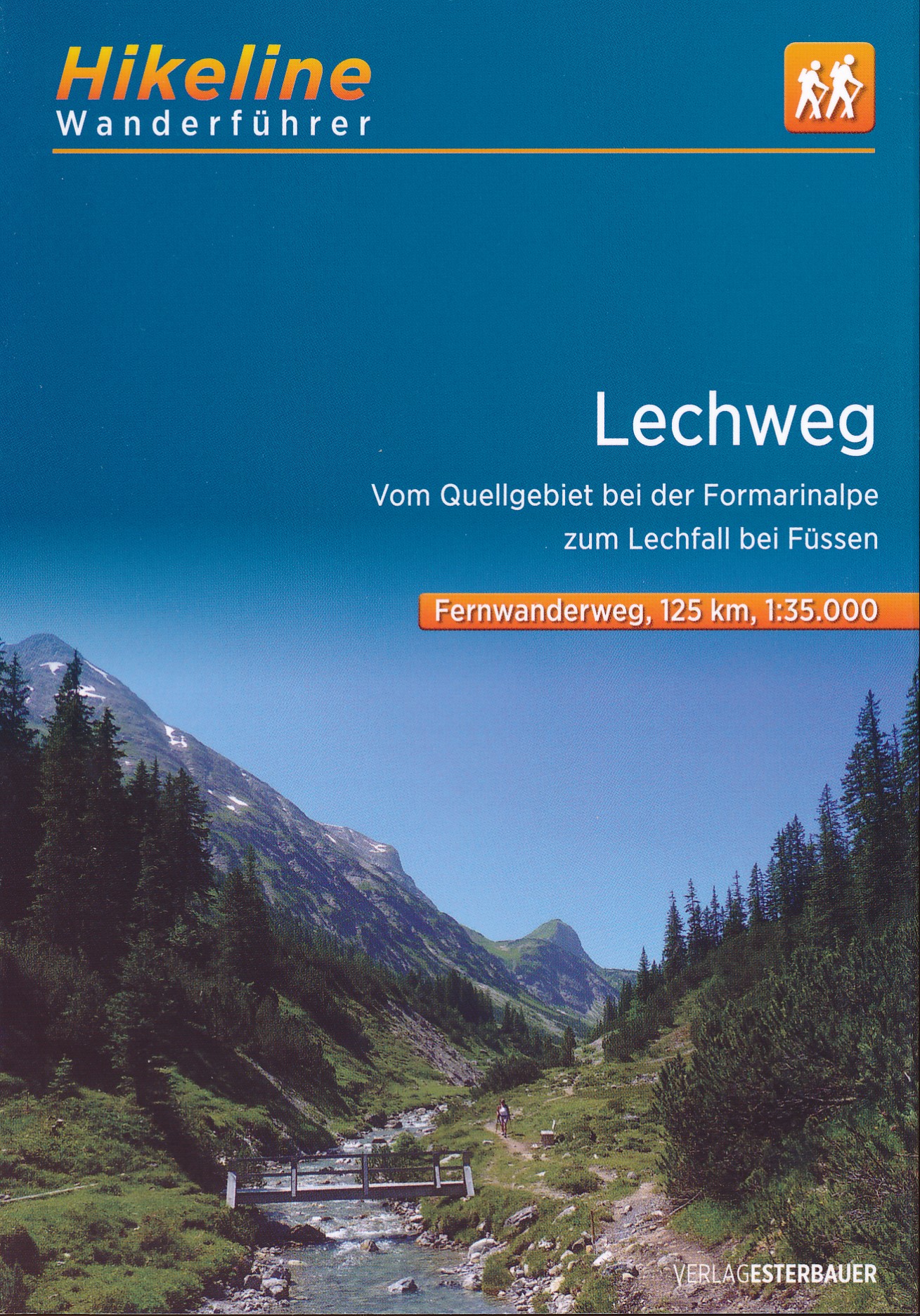
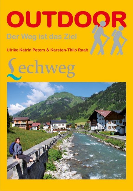
- Wandelgids Lechweg | Conrad Stein Verlag
- Der Weg ist das Ziel. 1. Auflage. Lire la suite
Cartes

United Kingdom
- Styrian Winelands - Southwest Styria F&B WK411
- Styrian Winelands area south-eastern Austria presented at 1:50,000 in a series of contoured and GPS compatible outdoor leisure map from Freytag & Berndt with hiking and cycling routes, mountain huts, campsites and youth hostels, local bus stops, plus other tourist information. To see the list of currently available titles in this series please... Lire la suite

United Kingdom
- Goms - Aletsch
- Goms - Aletsch area of the Bernese Oberland at 1:50,000 in a series from Hallwag covering Switzerland’s popular hiking regions on light, waterproof and tear-resistant maps highlighting long-distance paths: the nine national routes plus special regional routes, as well as other local hiking trails.Cartography is similar to that used both in... Lire la suite

United Kingdom
- Kempten (Allgäu) - Immenstadt - Pfronten UK50-46
- Kempten and the Surrounding Area, map no. UKL50-46 covering an area around Bad Grönenbach, Immenstadt, Nesselwang and Pfronten, in a series of special contoured and GP-compatible recreational maps from the Bavarian state survey organization, with cartography of the German topographic survey at 1:50,000 and extensive additional tourist overprint... Lire la suite

United Kingdom
- Lake Constance - Allgau Cycle Routes Bikeline Map-Guide
- Nearly 800kms of cycling routes in the northern environs of Lake Constance, from 18.5km to 76km long, presented by the Verlag Esterbauer in guide with maps at 1:50,000 showing the routes and their variants. Extensive information is conveyed by symbols, indicating road surface, campsites and other accommodation, repair workshops, recreational... Lire la suite

United Kingdom
- Taygetos - North Taygetos Anavasi 8.1
- The Taygetos range between Sparta and Kalamata at 1:50,000 on a contoured, GPS compatible map from Anavasi with on the reverse a special map highlighting the region’s numerous hiking trails, including the course of the E4 European long-distance path.On one side is the main map of the area with excellent presentation of its topography by... Lire la suite

United Kingdom
- Greece: Attika and Central Greece Road Atlas
- Road Atlas of Attika, the region around Athens, and Central Greece from Anavasi, in an A4 paperback format, with contoured mapping at 1:50,000, a 2km UTM grid for GPS users, very detailed road classification, hiking paths, and place names in both Greek and Latin alphabets.The main section of the atlas has 219 pages of detailed maps with... Lire la suite

United Kingdom
- Heidiland - UNESCO Tectonic Arena Sardona 50K K+F Hiking Map No. 33
- Heidiland, including the Swiss Tectonic Arena Sardona – a UNESCO World Heritage Site, at 1:50,000 in Kümmerly + Frey’s hiking series of Switzerland printed on light, waterproof and tear-resistant plastic paper. Coverage includes Walensee, Flumserberg, Pizol, Weisstannental, Sarganserland and Taminatal. Hiking trails highlighted on the map... Lire la suite
United Kingdom
- Adelboden - Lenk
- Adelboden - Lenk area of the western Bernese Oberland, from Gstaad to Frutigen and Leukerbad at 1:50,000 in a series from Hallwag covering Switzerland’s popular hiking regions on light, waterproof and tear-resistant maps highlighting long-distance paths: the nine national routes plus special regional routes, as well as other local hiking... Lire la suite

United Kingdom
- Oberstdorf - Kleinwalsertal - Sonthofen - Oberstaufen K+F Outdoor Map 1
- Oberstdorf – Kleinwalsertal area of the German Alps at 1:35,000 from Kümmerly+Frey in a series GPS compatible, double-sided maps printed on durable, waterproof and tear-resistant plastic paper; contoured, with hiking and cycle routes, other recreational activities, etc.Maps in this series are at a scale of either 1:50,000 or 1:35,000. Contour... Lire la suite
United Kingdom
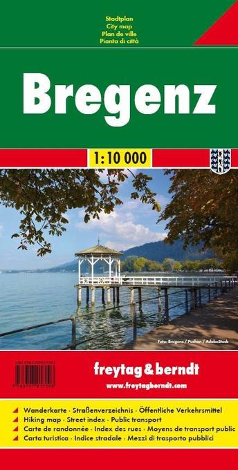
- Bregenz F&B
- Indexed street plan of Bregenz extending north along the Bodensee coast to Lochau and Unter Hochsteg. Detail includes pedestrianised areas, railways, bus routes and cycle paths. Notable buildings are highlighted in red, and symbols indicate post offices, hostels, campsites and car parks.On the reverse is a 1:50,000 contoured map of the... Lire la suite

United Kingdom
- Allgäu Cycle Tours Bikeline Map-Guide
- Cycle tour of the Allgäu region of the German Alps presented by Verlag Esterbauer in a guide with maps at 1:50,000. The guide covers three main cycling tours which can be combined together and/or with other spurs and variants, to a total of 445km of cycle trails. The main route starts in Füssen and the routes take in many popular destinations... Lire la suite
United Kingdom
- Haslital: Grindelwald - Engelberg 50K Hallwag Outdoor Map No. 5
- Haslital area, from Grindelwald to Engelberg, at 1:50,000 in a series from Hallwag covering Switzerland’s popular hiking regions on light, waterproof and tear-resistant maps highlighting long-distance paths: the nine national routes plus special regional routes, as well as other local hiking trails.Cartography is similar to that used both in... Lire la suite

United Kingdom
- Füssen - Pfronten - Forggensee - Neuschwanstein - Tannheimer Tal K+F Outdorre Map 2
- Füssen - Pfronten area of the German Alps at 1:35,000 from Kümmerly+Frey in a series GPS compatible, double-sided maps printed on durable, waterproof and tear-resistant plastic paper; contoured, with hiking and cycle routes, other recreational activities, etc. Coverage includes the Neuschweinstein Castle.Maps in this series are at a scale of... Lire la suite

United Kingdom
- Val Brembana - Valsassina - Le Grigne: Lecco - Bergamo 50K IGC Map No. 22
- Val Brembana - Valsassina - Le Grigne area including Lecco and Bergamo in a series contoured hiking maps at 1:50,000 with local trails, long-distance footpaths, mountain accommodation, etc. from the Turin based Istituto Geografico Centrale.Maps in this series have contours at 50m intervals, enhanced by shading and graphic relief. An overprint... Lire la suite
United Kingdom
- Montreux
- Montreux - Col du Pillon area at 1:50,000 in a series from Hallwag covering Switzerland’s popular hiking regions on light, waterproof and tear-resistant maps highlighting long-distance paths: the nine national routes plus special regional routes, as well as other local hiking trails.Cartography is similar to that used both in Hallwag’s hiking... Lire la suite