
Autriche
Description
 Thinking of Austria evokes images of the Alps and trekking from hut to hut. Many mountain groups have their own "Höhenweg", high altitude hut to hut trail.
Less well known are the 10 Austrian long distance hiking trails. These trails cross all the country's majestic mountain ranges - Ötztal, Zillertal, Stubaier Alps, Hohe Tauern - but also pass through more pastoral and less touristic regions of Austria. Sometimes the trails coincide with European long distance trails.
Don't be mistaken: Austrian long distance trails are not for the feeble. Time and again the trails mean serious business, including glaciers and short stretches of scrambling on rocks (maximum Grade II). To complete a trail on foot can easily take several months. Varying in length from 400 to 1300 km, and combined with the considerable differences in altitude, these trails pose challenges to be reckoned with. So, compared to the French GR's, the Austrian long distance trails are on another level altogether. Make sure you master all skills of walking in high mountains: techniques of orientation, gear, surefootedness, stamina.
To keep hikers happy, after all we are hiking for fun, Austria has taken excellent care of lodging, food and drink. Wherever you go up into the mountains, you will find well managed huts, offering a comfortable bed, beer, and top meals you will never find down the valleys: all purely natural and 100% homemade. More than merely an overnight stay, this is enjoying!
Carte


Sentiers
- AdlerwegGPX
- AlpannoniaGPX
- Alpen Weitwanderweg
- ArnowegGPX
- Berliner HöhenwegGPX
- Bodensee RundwegGPX
- Burgen und SchlösserwegGPX
- Burgenländische Pilgerwege
- Christophorus Rundwanderweg
- Dachstein-Tauern Panoramaweg
- DonausteigGPX
- E10GPX
- E4GPX
- E5GPX
- E6GPX
- E8GPX
- Eisenwurzenweg - 8GPX
- Gailtaler HöhenwegGPX
- GoethewegGPX
- KalkalpenwegGPX
- Karnischer HöhenwegGPX
- Karwendel Höhenweg
- Kreuzecker Höhenweg
- Lasörling HöhenwegGPX
- Lechtaler HöhenwegGPX
- LechwegGPX
- Mariazeller Wege - 6GPX
- MaximilianswegGPX
- Meraner HöhenwegGPX
- Nord-Süd Wanderweg - 5GPX
- Nordalpenweg - 1GPX
- NordwaldkammwegGPX
- Ostösterreichischer Grenzlandweg - 7GPX
- Rätikon Höhenweg
- Rupertiweg - 10GPX
- Salzburger AlmenwegGPX
- Salzsteigweg - 9GPX
- Santiago de Compostela Pilgrims WayGPX
- Südalpenweg - 3GPX
- Schladminger Tauern Höhenweg
- Sentiero della PaceGPX
- Stubaier HöhenwegGPX
- Sultan's TrailGPX
- Tauernhöhenweg
- Templar Trail
- Tiroler Höhenweg
- Traumpfad München-VenedigGPX
- Venediger HöhenwegGPX
- Verwall Höhenweg
- Via AlpinaGPX
- Via ValtellinaGPX
- Voralpenweg - 4GPX
- Weg des BuchesGPX
- Zentralalpenweg - 2GPX
Régions
- Allgäuer Alpen
- Alps
- Ammergauer Alpen
- Ankogelgruppe
- Ötztal
- Bayerische Voralpen
- Berchtesgadener Alpen
- Bodensee
- Bregenzerwald
- Chiemgauer Alpen
- Dachstein
- Defereggengebirge
- Eisenerzer Alpen
- Eisenwurzen
- Ennstaler Alpen
- Fischbacher Alpen
- Gailtaler Alpen
- Gesäuse
- Gleinalpe
- Glocknergruppe
- Goldberggruppe
- Granatspitzgruppe
- Gurktaler Alpen
- Gutensteiner Alpen
- Hochkönig
- Hochschwab
- Hohe Tauern
- Isarwinkel
- Julische Alpen
- Kaisergebirge
- Kamnik Savinja Alpen
- Karawanken
- Karnischer Alpen
- Karwendel
- Kaunertal
- Kitzbüheler Alpen
- Koralpe
- Kreuzeckgruppe
- Lechquellengebirge
- Lechtaler Alpen
- Leoganger Steinberge
- Lienzer Dolomiten
- Loferer Steinberge
- Mühlviertel
- Mürzsteger Alpen
- Mieminger Kette
- Neusiedler See
- Niedere Tauern
- Nockberge
- Pohorje
- Radstädter Tauern
- Rax-Schneeberg-Gruppe
- Rätikon
- Rieserfernergruppe
- Rofan
- Rottenmänner Tauern
- Salzburger Schieferalpen
- Salzkammergut-Berge
- Samnaun
- Saualpe
- Schladminger Tauern
- Schobergruppe
- Seckauer Tauern
- Seetaler Alpen
- Sengsengebirge
- Silvretta
- Steinernes Meer
- Stubai
- Tannheimer Bergen
- Türnitzer Alpen
- Tennengebirge
- Texelgruppe
- Tirol
- Totes Gebirge
- Tuxer Alpen
- Venedigergruppe
- Verwall
- Waldviertel
- Wölzer Tauern
- Weinviertel
- Wetterstein
- Wiener Hausberge
- Wienerwald
- Ybbstaler Alpen
- Zillertal
Etats
Montagnes
- Ankogel
- Augstenberg
- Östliche Seespitze
- Äussere Schwarze Schneid
- Berliner Spitze
- Birkkarspitze
- Birnhorn
- Bliggspitze
- Breiter Grießkogel
- Daberspitze
- Daniel
- Dreiherrenspitze
- Dreiländerspitze
- Eisenhut
- Eiskastenspitze
- Ellmauer Halt
- Feuerstein
- Fineilspitze
- Firmisanschneide
- Fluchthorn
- Fluchtkogel
- Fuscherkarkopf
- Gaislehnkogel
- Gamsfeld
- Gefrorene-Wand-Spitzen
- Geierhaupt
- Glatthorn
- Glödis
- Glocknerwand
- Glockturm
- Granatenkogel
- Große Sandspitze
- Große Wildgrubenspitze
- Großer Bärenkopf
- Großer Geiger
- Großer Greiner
- Großer Hexenkopf
- Großer Hornkopf
- Großer Krottenkopf
- Großer Löffler
- Großer Mörchner
- Großer Möseler
- Großer Muntanitz
- Großer Priel
- Großer Ramolkogel
- Großer Sulzberg
- Großes Ochsenhorn
- Großes Wiesbachhorn
- Großglockner
- Großvenediger
- Gsallkopf
- Habicht
- Hintere Ölgrubenspitze
- Hintere Schwärze
- Hintere Spiegelkogel
- Hintere Stangenspitze
- Hintereisspitzen
- Hinterer Brochkogel
- Hinterer Brunnenkogel
- Hinterer Daunkopf
- Hinterer Seelenkogel
- Hochalmspitze
- Hocharn
- Hocheiser
- Hochfeiler
- Hochfirst
- Hochgall
- Hochgolling
- Hochiss
- Hochkönig
- Hochschober
- Hochschwab
- Hochstadl
- Hochtor
- Hochvernagtspitze
- Hochwilde
- Hohe Fürlegg
- Hohe Geige
- Hohe Veitsch
- Hohe Wand
- Hohe Warte
- Hoher Dachstein
- Hoher Eichham
- Hoher Nock
- Hoher Riffler
- Hoher Riffler (Verwall)
- Hoher Seeblaskogel
- Hoher Tenn
- Im Hinteren Eis
- Innere Schwarze Schneid
- Johannisberg
- Karlesspitze
- Keeskogel
- Kitzsteinhorn
- Klockerin
- Kreuzjoch
- Kreuzspitze
- Langtauferer Spitze
- Längentaler Weißer Kogel
- Löcherkogel
- Lüsener Fernerkogel
- Lenkstein
- Liebenerspitze
- Lizumer Reckner
- Malhamspitzen
- Mölltaler Polinik
- Mittlerer Bärenkopf
- Mutmalspitze
- Olperer
- Parseierspitze
- Petzeck
- Piz Buin
- Piz Buin Pitschen
- Puitkogel
- Quirl
- Rainerhorn
- Raucheck
- Rauhkofel
- Rötspitze
- Reichenspitze
- Reisalpe
- Rettlkirchspitze
- Rofelewand
- Rostizkogel
- Roter Knopf
- Ruderhofspitze
- Schalfkogel
- Schaufelspitze
- Schöpfl
- Schesaplana
- Schlieferspitze
- Schneeberg
- Schrammacher
- Schrandele
- Schrankogel
- Schwabenkopf
- Schwarzenbergspitzen
- Schwarzenstein
- Seekogel
- Sennkogel
- Signalhorn
- Silvrettahorn
- Similaun
- Sonklarspitze
- Sonntagshorn
- Stol
- Strahlkogel
- Stubaier Wildspitze
- Stuhleck
- Talleitspitze
- Turnerkamp
- Verpeilspitze
- Vordere Ölgrubenspitze
- Vordere Diemkogel
- Vorderer Brochkogel
- Vorderer Brunnenkogel
- Warenkarseitenspitze
- Wassertalkogel
- Watzespitze
- Weiße Spitze
- Weißeck
- Weißer Kogel
- Weißkugel
- Weißseespitze
- Weißspitze
- Westlicher Simonyspitze
- Wilde Leck
- Wilder Freiger
- Wilder Pfaff
- Wildgerlosspitze
- Wildspitze
- Windacher Daunkogel
- Wollbachspitze
- Zirbitzkogel
- Zirmkogel
- Zopetspitze
- Zuckerhütl


Liens
Données
Rapports
Guides et cartes
Hébergement
Organisations
Voyagistes
GPS
Autre
Livres

United Kingdom
- Graz Highland - Schöckl - Almenland-Teichalm - Stubenbergsee F&B WK131
- Graz Highlighands - Schöckl – Teichalm- Stubenbergsee area of south-eastern Austria presented at 1:50,000 in a series of contoured and GPS compatible outdoor leisure map from Freytag & Berndt with hiking and cycling routes, mountain huts, campsites and youth hostels, local bus stops, plus other tourist information.To see the list of currently... Lire la suite
United Kingdom
2021
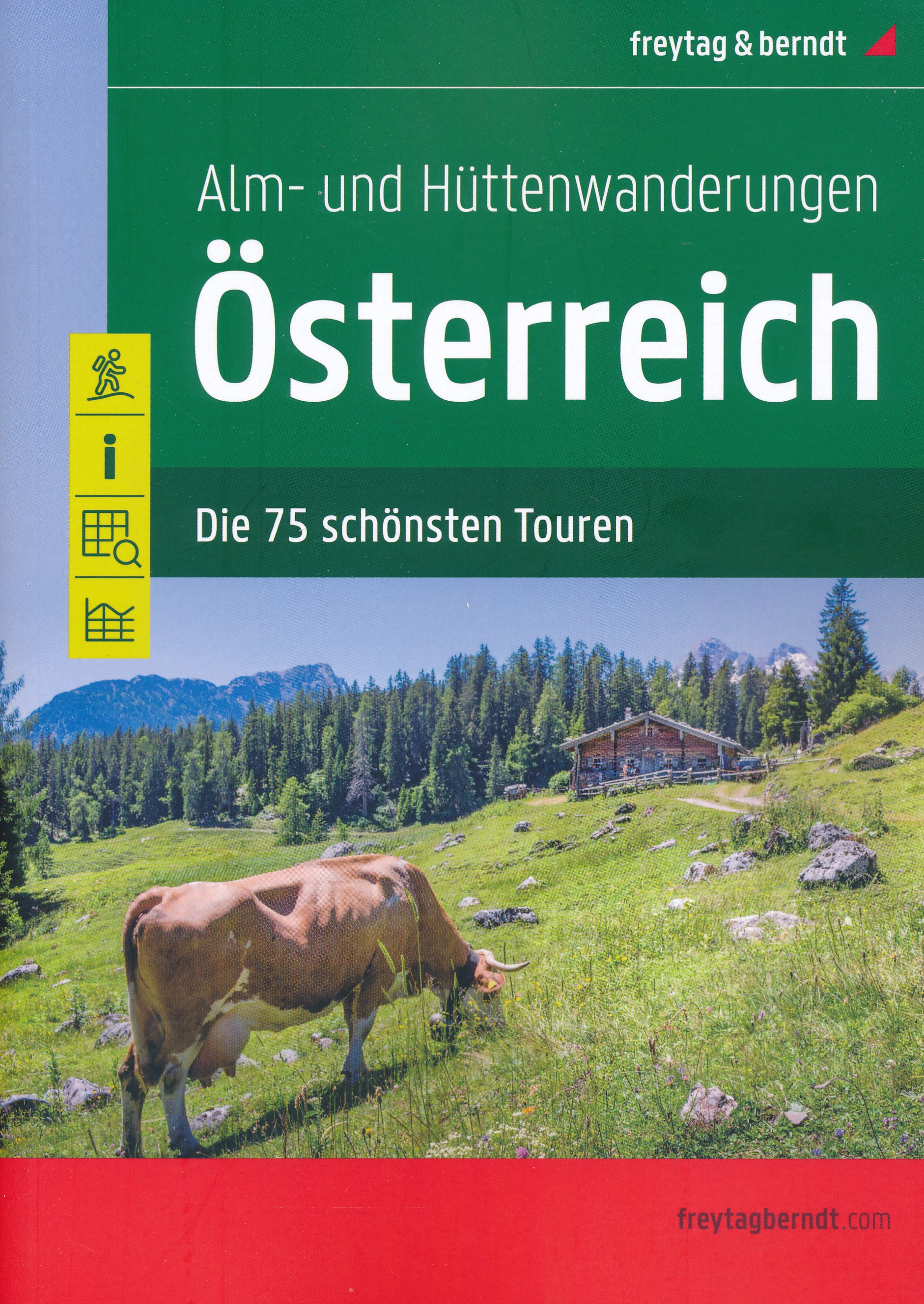
- Austria F&B Alp and Hut-to-Hut Hiking Guide
- A comprehensive guidebook detailing walking routes in Austria. The 101 walks reflect the diversity of this popular region and cover Austria`s magnificent Alps - including the Ratikon, Silvretta, Stubai and Zillertal - as well as the Dachsteingebirge, Hohe Tauern and the Karawanken. Graded according to difficulty and ranging from short walks of... Lire la suite

United Kingdom
- Styrian Thermal Region - Southern Burgenland - Styrian Vulkanland F&B WK423
- Thermenland Oststeiermark – Südburgenland area of eastern Austria presented at 1:50,000 in a series of contoured and GPS compatible outdoor leisure map from Freytag & Berndt with hiking and cycling routes, mountain huts, campsites and youth hostels, local bus stops, plus other tourist information. To see the list of currently available titles... Lire la suite

United Kingdom
- Kamptal - Zwettl - Horn - Langenlois - Krems F&B WK074
- Kamptal - Zwettl - Horn - Langenlois – Krems area of eastern Austria presented at 1:50,000 in a series of contoured and GPS compatible outdoor leisure map from Freytag & Berndt with hiking and cycling routes, mountain huts, campsites and youth hostels, local bus stops, plus other tourist information.To see the list of currently available titles... Lire la suite
United Kingdom
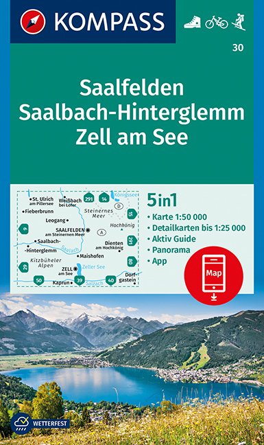
- Saalfelden - Saalbach-Hinterglemm - Zell am See Kompass 30
- Saalfelden - Saalbach - Zell am See (No. 30), a detailed, GPS compatible map at 1:50,000 from Kompass with local and long-distance footpaths, cycling routes, accommodation, etc, printed on durable, waterproof and tear-resistant synthetic paper. This title has on the reverse an additional panorama map of the region.KOMPASS HIKING & RECREATIONAL... Lire la suite

United Kingdom
2018
- Innsbruck Mountain Adventures: Summer routes for a multi-activity holiday around the capital of Austria`s Tirol
- This guidebook presents 60 routes covering some of the best day walks, scrambles, hut-to-hut walks, alpine mountaineering, sport climbing, via ferratas, mountain-biking routes, road rides, city and trail runs and family activities the Innsbruck area has to offer. Ideal for a multi-activity holiday or for the keen amateur seeking a summary of... Lire la suite
- Also available from:
- The Book Depository, United Kingdom
- De Zwerver, Netherlands

United Kingdom
2018
- Innsbruck Mountain Adventures
- Summer routes for a multi-activity holiday around the capital of Austria's Tirol Lire la suite

Netherlands
2018
- Klimgids - Klettersteiggids Innsbruck Mountain Adventures | Cicerone
- Summer routes for a multi-activity holiday around the capital of Austria's Tirol Lire la suite

United Kingdom
2022
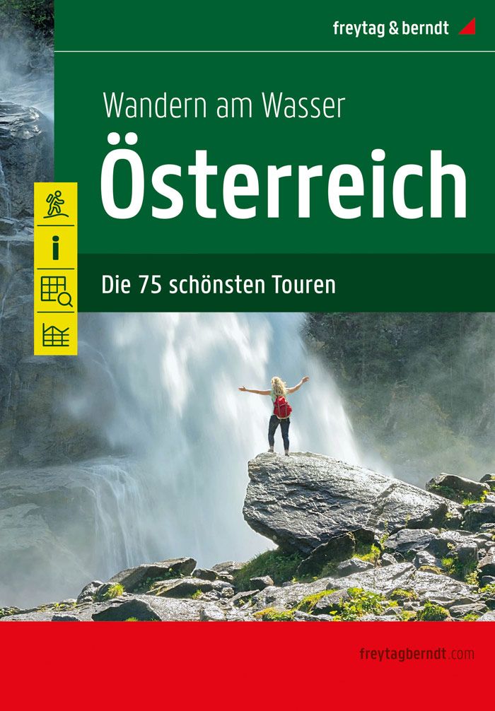
- Hiking by the Water Hiking Guidebook
- 75 best routes in Austria Lire la suite
- Also available from:
- De Zwerver, Netherlands
Netherlands
2022
- Wandelgids Wandern am Wasser Österreich | Freytag & Berndt
- 75 best routes in Austria Lire la suite
Netherlands
2012
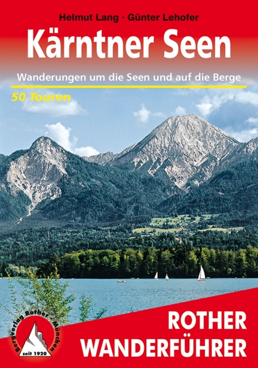
- Wanderungen Rund Um Die Karntner Seen
- Weit ber 1000 Seen dazu bewaldete H gel, runde Grasberge, steile Felsflanken und die Eisgipfel der Hohen Tauern! Kein Wunder, dass K rnten zu den beliebtesten Urlaubsgebieten der Alpen geh rt. Dank des sonnenverw hnten Klimas erreichen die Seen oftmals Badetemperatur, optimal, um einen kombinierten Wander- und Badeurlaub zu verbringen. Der... Lire la suite
- Also available from:
- Bol.com, Belgium
Belgium
2012
- Wanderungen Rund Um Die Karntner Seen
- Weit ber 1000 Seen dazu bewaldete H gel, runde Grasberge, steile Felsflanken und die Eisgipfel der Hohen Tauern! Kein Wunder, dass K rnten zu den beliebtesten Urlaubsgebieten der Alpen geh rt. Dank des sonnenverw hnten Klimas erreichen die Seen oftmals Badetemperatur, optimal, um einen kombinierten Wander- und Badeurlaub zu verbringen. Der... Lire la suite
Netherlands
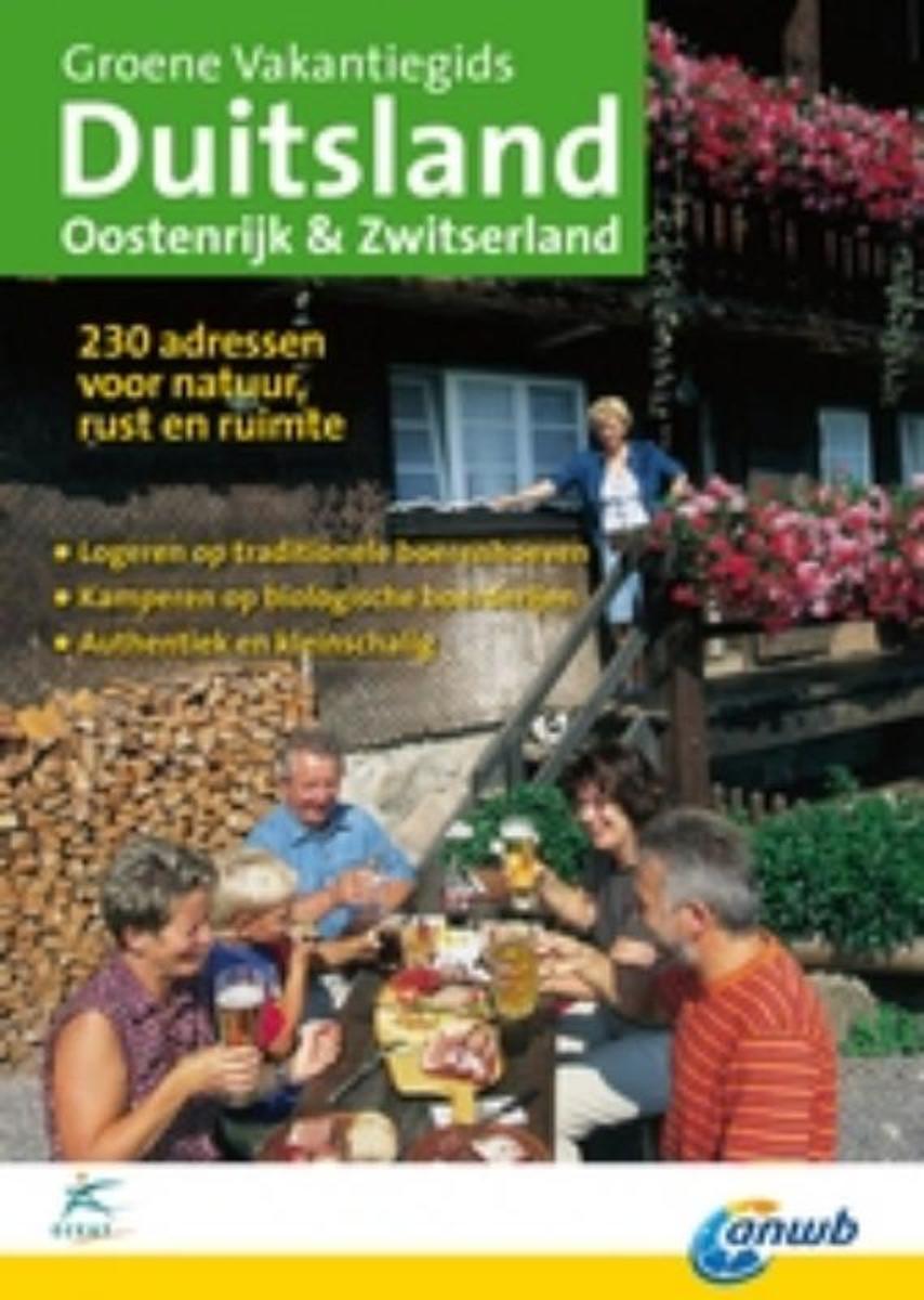
- Groene Vakantiegids Duitsland, Oostenrijk & Zwitserland
- De accommodaties bieden in totaal zo?n 60 kampeerterreinen (van hele kleintjes bij de biologische boer tot middelgrote ecocampings), 150 logementen (met ontbijt en vele met complete bioculinaire keuken), 170 ecologische vakantiehuizen en zo?n 50 groepsaccommodaties. Ze liggen in of bij nationale parken, beschermde cultuurlandschappen en... Lire la suite
- Also available from:
- Bol.com, Belgium
Belgium
- Groene Vakantiegids Duitsland, Oostenrijk & Zwitserland
- De accommodaties bieden in totaal zo?n 60 kampeerterreinen (van hele kleintjes bij de biologische boer tot middelgrote ecocampings), 150 logementen (met ontbijt en vele met complete bioculinaire keuken), 170 ecologische vakantiehuizen en zo?n 50 groepsaccommodaties. Ze liggen in of bij nationale parken, beschermde cultuurlandschappen en... Lire la suite
Netherlands
2018
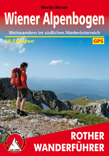
- Wandelgids Wiener Alpenbogen | Rother Bergverlag
- Duitstalige wandelgids van Wiener Alpenbogen met zeer goed beschreven wandelingen in de wandelgebieden. Redelijk kaartmateriaal, vooral de beschrijving van de route en de praktische info die er bij hoort is goed. Genussvolles Weitwandern vor den Toren Wiens: Der »Weg am Wiener Alpenbogen« lässt die herrliche Alpenlandschaft erleben, die sich... Lire la suite

Netherlands
2021
- Wandelgids Arlberg - Paznaun | Rother Bergverlag
- Uitstekende wandelgids met een groot aantal dagtochten in dal en hooggebergte. Met praktische informatie en beperkt kaartmateriaal! Wandelingen in verschillende zwaarte weergegeven in rood/blauw/zwart. Zwischen den Allgäuer Alpen und der Silvretta liegt ein wahres Wanderparadies. Dabei darf man sich von den im Untertitel erwähnten Alpin-Zentren... Lire la suite

Netherlands
2016
- time to momo - Wenen
- Dit is de vernieuwde versie van de Wenen-gids! Jij gaat Wenen ontdekken! Met haar vele parken en goede infrastructuur is Wenen niets voor niets uitgeroepen tot 's werelds meest leefbare stad. Maar wat wij vooral leuk vinden aan Wenen is dat ze een stad van uitersten is. Klassiek en moderne, chique en street, keizerlijk en 'urig', oost en west.... Lire la suite
- Also available from:
- Bol.com, Belgium
Belgium
2016
- time to momo - Wenen
- Dit is de vernieuwde versie van de Wenen-gids! Jij gaat Wenen ontdekken! Met haar vele parken en goede infrastructuur is Wenen niets voor niets uitgeroepen tot 's werelds meest leefbare stad. Maar wat wij vooral leuk vinden aan Wenen is dat ze een stad van uitersten is. Klassiek en moderne, chique en street, keizerlijk en 'urig', oost en west.... Lire la suite
Netherlands
2021
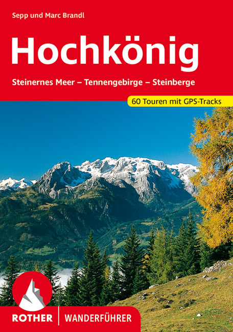
- Wandelgids Hochkönig | Rother Bergverlag
- Uitstekende wandelgids met een groot aantal dagtochten in dal en hooggebergte. Met praktische informatie en beperkt kaartmateriaal! Wandelingen in verschillende zwaarte weergegeven in rood/blauw/zwart. Das Alpenreich des Hochkönigs, mit 2941 Metern höchster Gipfel der Berchtesgadener Alpen, hat zwei grundverschiedene Gesichter: ein zahmes von... Lire la suite
Cartes

United Kingdom
- Nebelstein - Gmünd - Weitra - Gross Gerungs - Weinsberg Forest F&B WK076
- Nebelstein - Gmünd - Weitra - Gross Gerungs - Weinsberger Wald area of eastern Austria presented at 1:50,000 in a series of contoured and GPS compatible outdoor leisure map from Freytag & Berndt with hiking and cycling routes, mountain huts, campsites and youth hostels, local bus stops, plus other tourist information.To see the list of... Lire la suite

United Kingdom
- Faaker See - Ossiacher See - Villach - Dreiländereck - Unteres Gailtal F&B WK224
- Faaker See - Ossiacher See - Villach - Dreiländereck - Unteres Gailtal area of Carinthia presented at 1:50,000 in a series of contoured and GPS compatible outdoor leisure map from Freytag & Berndt with hiking and cycling routes, mountain huts, campsites and youth hostels, local bus stops, plus other tourist information.To see the list of... Lire la suite

United Kingdom
- Wechsel - Bucklige Welt - Bernstein F&B WK422
- Wechsel - Bucklige Welt - Bernstein area of south-eastern Austria presented at 1:50,000 in a series of contoured and GPS compatible outdoor leisure map from Freytag & Berndt with hiking and cycling routes, mountain huts, campsites and youth hostels, local bus stops, plus other tourist information. To see the list of currently available titles... Lire la suite

United Kingdom
- Thermenregion Innviertel - Imber Moor - Kobernausserwald - Braunau - Burghausen - Marktl F&B WK431
- Thermenregion Innviertel - Imber Moor - Kobernausserwald - Braunau - Burghausen – Marktl area of central Austria presented at 1:50,000 in a series of contoured and GPS compatible outdoor leisure map from Freytag & Berndt with hiking and cycling routes, mountain huts, campsites and youth hostels, local bus stops, plus other tourist information.... Lire la suite

United Kingdom
- Ötscherland - Mariazell - Erlauftal - Lunzer See - Scheibbs F&B WK031
- Otscherland - Mariazell - Erlauftal - Lunzer See – Scheibbs area of eastern Austria presented at 1:50,000 in a series of contoured and GPS compatible outdoor leisure map from Freytag & Berndt with hiking and cycling routes, mountain huts, campsites and youth hostels, local bus stops, plus other tourist information.To see the list of currently... Lire la suite

United Kingdom
- Danube Cycle Trail - Passau - Eferding - Sauwald - Schärding F&B WK432
- Danube Cycle Trail: Passau - Eferding - Sauwald – Schärding area of central Austria presented at 1:50,000 in a series of contoured and GPS compatible outdoor leisure map from Freytag & Berndt with hiking and cycling routes, mountain huts, campsites and youth hostels, local bus stops, plus other tourist information. To see the list of currently... Lire la suite

United Kingdom
- Danube-Auen NP - Lobau - Hainburg - Marchegg - Gänserdorf - Bruck a.d. Leitha F&B WK013
- Danube-Auen NP - Lobau - Hainburg - Marchegg - Gänserdorf - Bruck a.d. Leitha area extending eastwards from Vienna to Bratislava presented at 1:50,000 in a series of contoured and GPS compatible outdoor leisure map from Freytag & Berndt with hiking and cycling routes, mountain huts, campsites and youth hostels, local bus stops, plus other... Lire la suite

United Kingdom
- Graz and Surroundings - Region Hügelland-Schöcklland – Gleisdorf – Weiz – Raabklamm F&B WK133
- Graz and Environs area of south-eastern Austria presented at 1:50,000 in a series of contoured and GPS compatible outdoor leisure map from Freytag & Berndt with hiking and cycling routes, mountain huts, campsites and youth hostels, local bus stops, plus other tourist information.To see the list of currently available titles in this series... Lire la suite

United Kingdom
- Zell am See - Kaprun - Saalbach F&B WK382
- Zell-am-See - Kaprun - Saalbach area of the Austrian Alps presented at 1:50,000 in a series of contoured and GPS compatible outdoor leisure map from Freytag & Berndt with hiking and cycling routes, mountain huts, campsites and youth hostels, local bus stops, plus other tourist information. To see the list of currently available titles in this... Lire la suite

United Kingdom
- Wienviertel East - March - Thayatal - Mistelbach F&B WK014
- Wienviertel East - March - Thayatal – Mistelbach area of north-eastern Austria presented at 1:50,000 in a series of contoured and GPS compatible outdoor leisure map from Freytag & Berndt with hiking and cycling routes, mountain huts, campsites and youth hostels, local bus stops, plus other tourist information.To see the list of currently... Lire la suite

United Kingdom
- Wachau - Welterbesteig - Nibelungengau - Kremstal - Yspertal - Dunkelsteinerwald F&B WK071
- Wachau - Donautal - Yspertal - Jauerling - Dunkelsteiner Wald area of eastern Austria presented at 1:50,000 in a series of contoured and GPS compatible outdoor leisure map from Freytag & Berndt with hiking and cycling routes, mountain huts, campsites and youth hostels, local bus stops, plus other tourist information.To see the list of currently... Lire la suite

United Kingdom
- Gasteinertal - Wagrain - Raurisertal - Grossarltal F&B WK191
- Gasteiner Tal - Wagrain - Grossarltal - St. Johann im Pongau - Bad Hofgastein - Bad Gastein area of the Austrian Alps presented at 1:50,000 in a series of contoured and GPS compatible outdoor leisure map from Freytag & Berndt with hiking and cycling routes, mountain huts, campsites and youth hostels, local bus stops, plus other tourist... Lire la suite

United Kingdom
- Vienna Woods F&B WK011
- The Vienna Woods at 1:50,000 in a series of contoured and GPS compatible outdoor leisure map from Freytag & Berndt with hiking and cycling routes, mountain huts, campsites and youth hostels, local bus stops, plus other tourist information.To see the list of currently available titles in this series please click on the series link.Freytag &... Lire la suite

United Kingdom
- Thayatal National Park - Kamptal - Znaim - Retz - Gars am Karp F&B WK073
- Thayatal NP - Znaim - Retz - Gars am Karp area of eastern Austria presented at 1:50,000 in a series of contoured and GPS compatible outdoor leisure map from Freytag & Berndt with hiking and cycling routes, mountain huts, campsites and youth hostels, local bus stops, plus other tourist information.To see the list of currently available titles in... Lire la suite

United Kingdom
- Bohemian Forest - Mühlviertel - Lipno Dam F&B WK262
- Bohemian Forest - Mühlviertel - Moldau/Vltava Reservoir area straddling the border of Austria, Czech Republic and Germany presented at 1:50,000 in a series of contoured and GPS compatible outdoor leisure map from Freytag & Berndt with hiking and cycling routes, mountain huts, campsites and youth hostels, local bus stops, plus other tourist... Lire la suite